Introduction
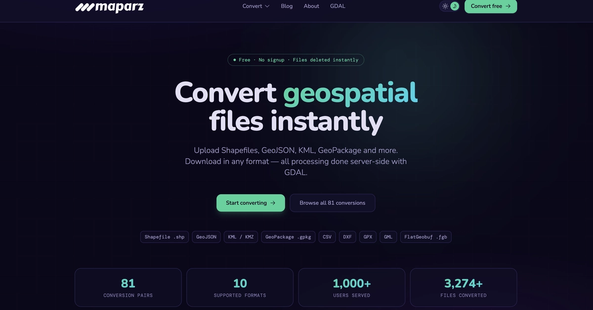
Working with geospatial data often means dealing with incompatible file formats, desktop GIS software, and complex workflows.
Whether you're a GIS analyst, developer, or data engineer, you've likely spent time converting between Shapefiles, GeoJSON, KML, GeoPackage, or GPX files just to continue your work.
We built Maparz to simplify this process.
In this article, I'll share the motivation behind the project, the technical challenges we faced, and how we built a browser-based GIS file converter that makes geospatial data easier to work with.