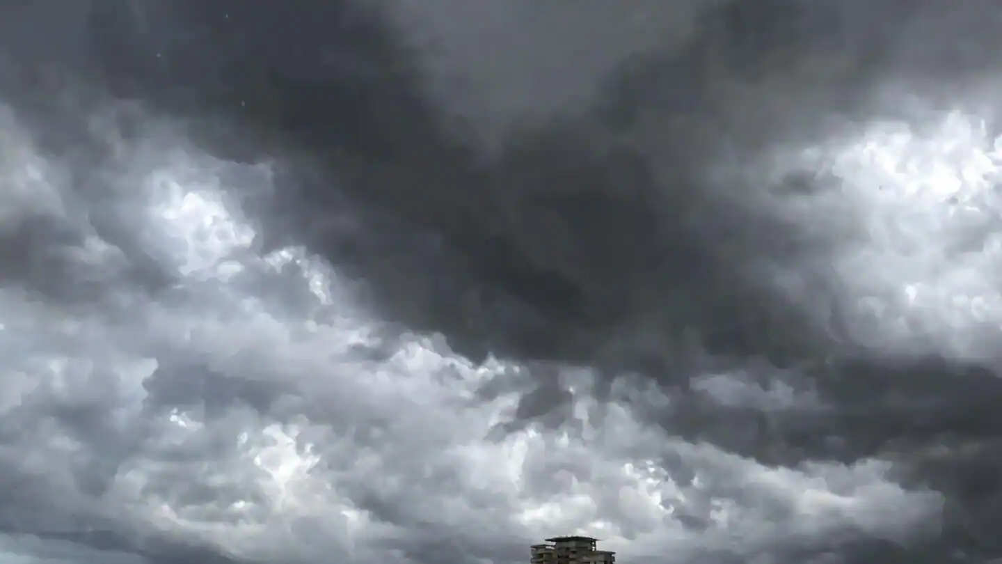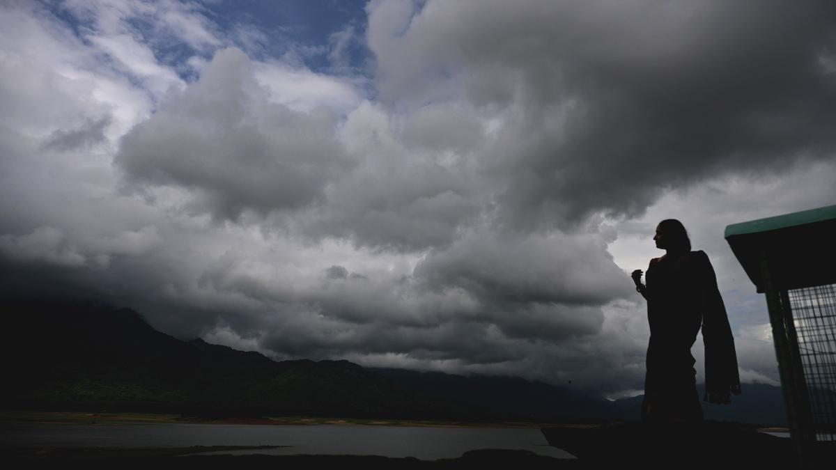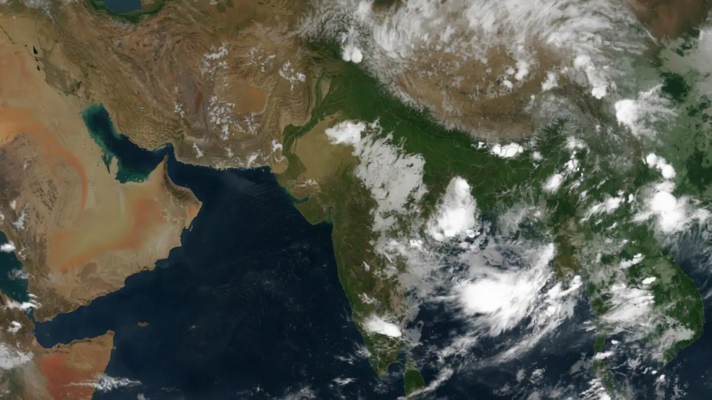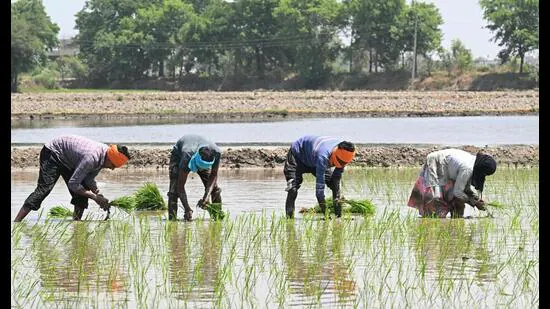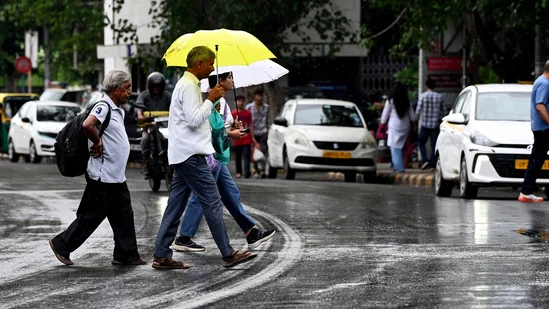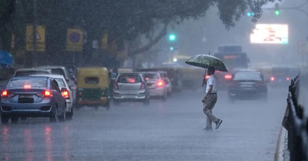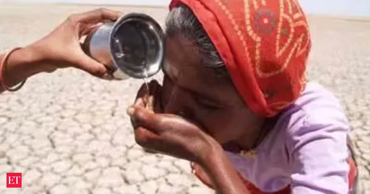
After an early burst that raised hopes of a robust rainy season, India's southwest monsoon has abruptly hit the brakes over southern Maharashtra, and El Nino alone is not for blame. Officials trace back the monsoon's disappointing performance to a horde of other reasons such as a sharp decline in moisture-laden winds and the absence of major monsoon weather systems.The pause in the rains has already left India with a nationwide rainfall deficit of 41% between June 4 and June 18, according to the India Meteorological Department.Also Read | Maharashtra advises farmers to delay sowing as monsoon rains fall shortThe country has received just 42.6 mm of rainfall against the normal 72.2 mm during the period.The shortfall is most severe in central India, where rainfall is down 67 per cent, followed by east and northeast India at 42 per cent and the southern peninsula at 22 per cent. Northwest India has so far fared relatively better, with a deficit of 6 per cent.The monsoon, which advanced into parts of South Konkan and adjoining areas of South Madhya Maharashtra on June 8, has since remained virtually stationary.The weather agency says the absence of favourable large-scale weather conditions is the primary reason behind this pause, which is expected to continue for at least another four to five days.Five weather factors behind the monsoon pauseAt the heart of the slowdown is the Arabian Sea, traditionally the monsoon's powerhouse.The weather department said the current monsoon flow lacks a strong surge from the sea — a crucial mechanism that pushes moisture-laden winds inland and triggers widespread rainfall.Without this surge, the monsoon has struggled to gather strength.Adding to the problem, low-level southwesterly winds over the Arabian Sea have weakened significantly, reducing the amount of moisture being transported towards Maharashtra and adjoining regions.Also Read | Weak monsoon prolongs south Bengal's summer woesThe cross-equatorial flow over the western Indian Ocean and Arabian Sea, another vital moisture source for the monsoon, has also weakened in recent weeks.The atmosphere has offered little support elsewhere too.The IMD noted that there are currently no major monsoon systems such as low-pressure areas, cyclonic circulations over the Arabian Sea or Bay of Bengal, or a strong offshore trough along the west coast — all of which typically help the monsoon push deeper into the country.Another important factor is the weak phase of the Madden-Julian Oscillation (MJO), a large-scale weather pattern that travels around the equator and influences tropical rainfall.When active, the MJO enhances cloud formation and rainfall over the Indian region. At present, however, it is not in a phase favourable for monsoon advancement.As a result, rainfall over most parts of Maharashtra is expected to remain isolated in the coming days.The IMD, however, sees some relief on the horizon, with numerical weather models indicating an increase in rainfall activity over the Konkan region around June 24-25.The pause in the monsoon comes at a critical time for India's kharif sowing season.Concerns have also risen over the recent emergence of El Nino conditions over the equatorial Pacific Ocean, which are often associated with below-normal rainfall over India.Recognising the risks, Union Agriculture Minister Shivraj Singh Chouhan has directed officials to identify districts vulnerable to low or uneven rainfall and prepare crop-wise contingency plans in coordination with state governments.He has asked states to focus on water conservation, moisture management, inter-cropping and alternative crop patterns to minimise any adverse impact on farmers.
Not just El Nino: What else is holding back India's monsoon?
India's monsoon has slowed significantly. A weak surge from the Arabian Sea and missing weather systems are causing a rainfall deficit. This pause impacts the kharif sowing season. Meteorologists are monitoring conditions for renewed monsoon activity. Farmers are advised to prepare for potential low rainfall.
TL;DRAI
India's monsoon halted mid-season due to weak winds and absent weather systems, causing 41% nationwide and 67% central India rainfall deficits. The stall threatens kharif sowing; officials prepare contingency plans via water conservation and alternative crops for vulnerable districts.
563 words~3 min read