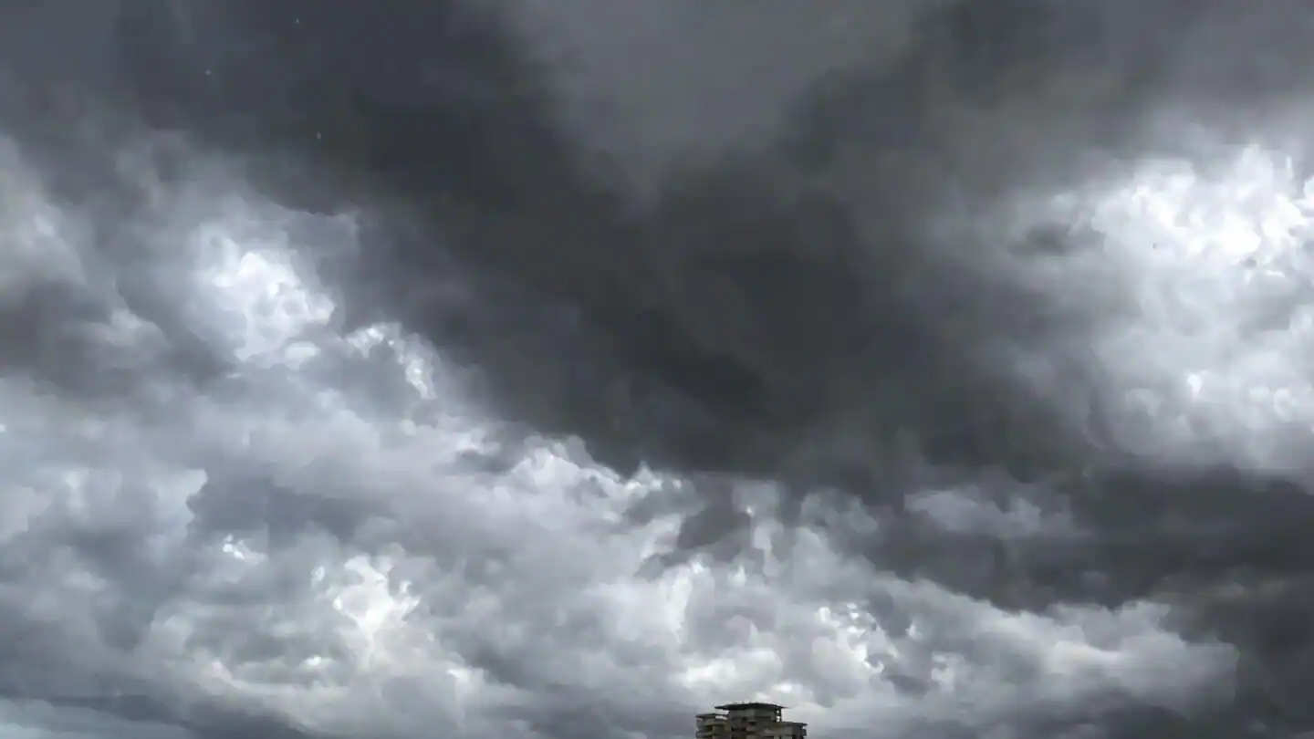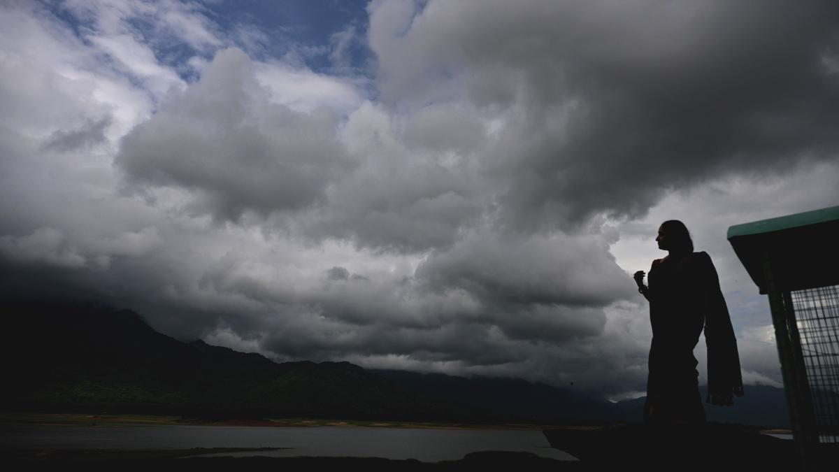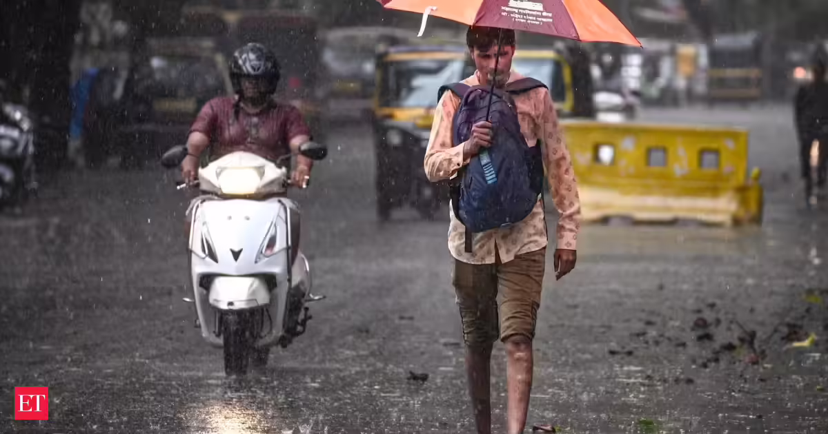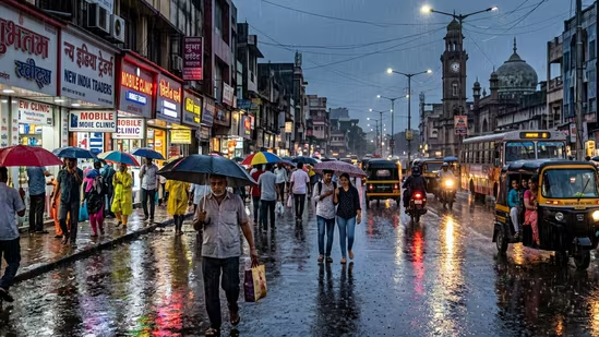
India is staring at a lackluster monsoon season as the rains have already been delayed in several parts of the country, including Maharashtra and Goa, as El Niño weather phenomenon takes hold.Dark clouds cover Mumbai sky, but residents continue to wait for rain. The southwest monsoon is now over a week late, despite an early onset. (HT Photos)The Indian Meteorological Department's region-wise departure rainfall map shows that rainfall deficits in central India, east and northeast India, the southern peninsula, and northwest India stand at 67 pc, 42 pc, 22 pc, and 6 pc, respectively. The grim outlook for monsoon, which is a prime factor for Indian farms, threatens agriculture and other industries.Also read: Cockroach Janta Party, in open letter to PM, demands ₹1 crore compensation for paper leak-linked suicidesAs of Wednesday, June 17, the monsoon rainfall across India was nearly 40% below normal, according to the latest data from the India Meteorological Department. The rainfall season spans between June to September and accounts for the bulk of the country’s annual rainfall.India has already missed first two weeks of the 122-day crucial rainy phase. According to an HT analysis, the rainfall deficit has widened rather than reduced since the rains first arrived at Kerala coast on June 4.The poor start is hampering the growing season for staples from rice to soybeans, as well as disrupting key sectors like construction, the Bloomberg reported.Also read: Ex-PM IK Gujral’s son loses ₹7.68 crore in cyber fraud, over ₹4 crore recoveredThe southwest monsoon's slow northward progress, coupled with the recent emergence of El Nino conditions over the equatorial Pacific Ocean, which leads to less rainfall in India, can have significant consequences for kharif crops, which need timely rainfall to thrive.Grim first two weeks of monsoonOn Maharashtra's monsoon delay, the IMD on Thursday said that "the absence of favourable large-scale meteorological conditions" was the key reason why the southwest monsoon has failed to advance further into the remaining parts of Maharashtra in the past few days, PTI reported.Also read: 'Desperate Trump used all kinds of leverage': Iran Supreme Leader Mojtaba Khamenei on US-Iran dealA weak monsoon is expected this year as 2026 is an El Niño year.By June 15, the latest period for which normal progress data is available, the monsoon should have covered Maharashtra, the southern half of Chhattisgarh, and Odisha from the southern/south-western side; and the eastern half of Jharkhand and Bihar from the eastern side.India has received 50.3 mm rain from June 1 to June 16, the 34th lowest rainfall for this period since 1901, the first year for which IMD has published gridded data. The rain received so far is also 27.1% less than the 1971–2020 average for the June 1–16 period.What has caused the monsoon delay?Experts are pointing towards five main factors behind the slowdown in the monsoon's northward progress.First, the current monsoon flow lacks a strong surge from the Arabian Sea, according to the IMD. "Such surges are generally responsible for enhanced moisture incursion and widespread rainfall leading to further monsoon advance," said the weather department, PTI reportedLow-level southwesterly winds linked to the monsoon circulation have weakened over the Arabian Sea. This has led to reduced moisture transport towards the Maharashtra coast and interior regions.The cross-equatorial flow over the western Indian Ocean and Arabian Sea, which acts as a moisture source for the southwest monsoon, has weakened during the recent period, resulting in a reduction in monsoon activity, the IMD said.Monsoon weather systems such as low-pressure areas or cyclonic circulations over the Arabian Sea and Bay of Bengal, or an offshore trough of sufficient intensity along the west coast that facilitates monsoon advancement, are absent as of now.The weak phase of the Madden-Julian Oscillation (MJO), which is a moving system of wind, cloud, and pressure that brings rain as it circles around the equator, has also caused the delay. When it is in an active phase, it brings more clouds to southern India, which are then carried northwards by the monsoon winds, leading to enhanced rainfall. "As a result, rainfall activity over most parts of Maharashtra is likely to remain isolated during the next 4-5 days," the IMD was quoted as saying.With inputs from Abhishek Jha
El Nino, slow northward progress: What's causing the delay in Indian monsoon
India has already missed first two weeks of the 122-day crucial rainy phase and the rainfall deficit has widened rather than reduced. | India News
696 words~3 min read