ESA illustration of spacecraft docking in orbit. Credit: ESA - D. Ducros
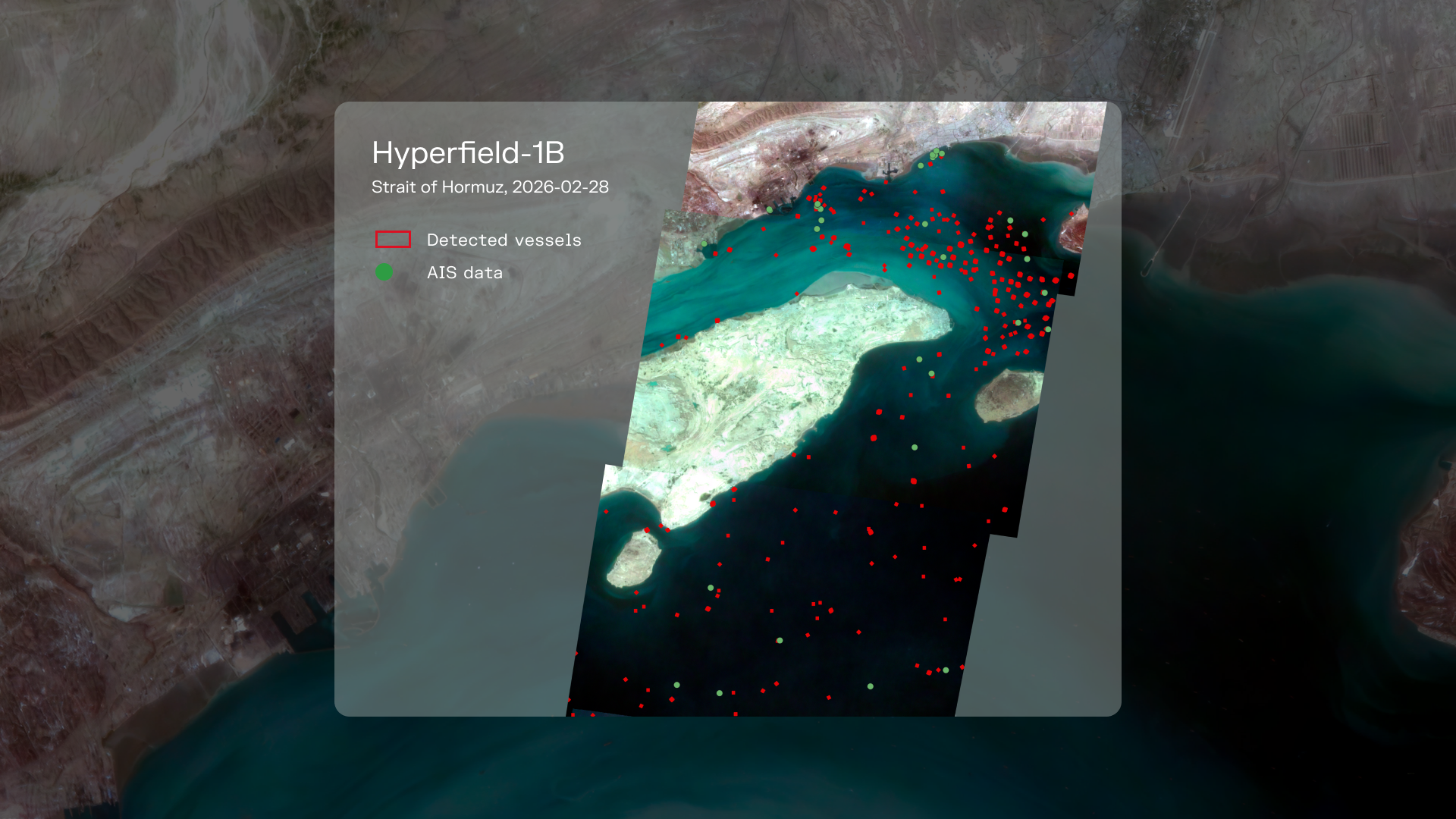
The Chinese company MizarVision recently gained attention with its open source Earth observation data analysis over the Middle East which showed images of F-35s gathering 24 hours before Operation Epic Fury. The questions it raises also underlines that Earth observation services are approaching becoming a commodity. This service, not long ago reserved for governments, now provides to the people in the street the possibility to pinpoint United States military aircrafts, almost in real time. If we want to build European-made rendezvous and docking services answering needs of the civil and defense orbital infrastructures and have those services become a commodity to sell at scale as well, the way commercial satellite imagery services have been introduced in defense procurements provide a useful template.
Institutions around the world, and notably the military ones, have completed their portfolio of high-precision capabilities assets with commercial data and services from Earth observation newcomers, notably providing images with higher frequency thanks to the multiplication of smaller satellites organized in constellations, such as Iceye is developing in Europe. This same shift is occurring on the civil side, as epitomized in Europe by the introduction of the “Copernicus contributing missions” in the Earth observation program of the European Union. Since last January, 19 major and new players have been awarded European Space Agency contracts to sell their pictures within the Copernicus Data Space Ecosystem. Commercial services in low Earth orbit for instance, will become a valuable dual-use asset for military forces. We shall anticipate and push a procurement inspired from the Earth observation procurement model and replicable for In-Orbit Services and Operations (ISOS).