Home
News
All News
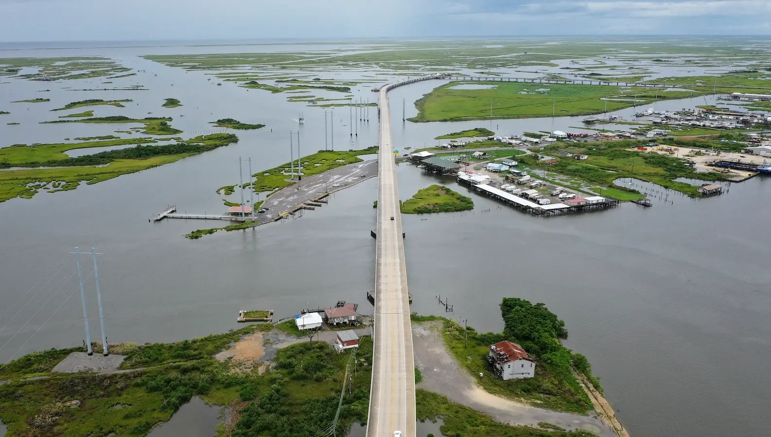
Satellite maps of sinking coastlines come under scrutiny
Back To All News
Radar studies produce contradictory results, complicating efforts to gauge sea level rise in vulnerable areas
Home
News
All News
Satellite maps of sinking coastlines come under scrutiny
Back To All News
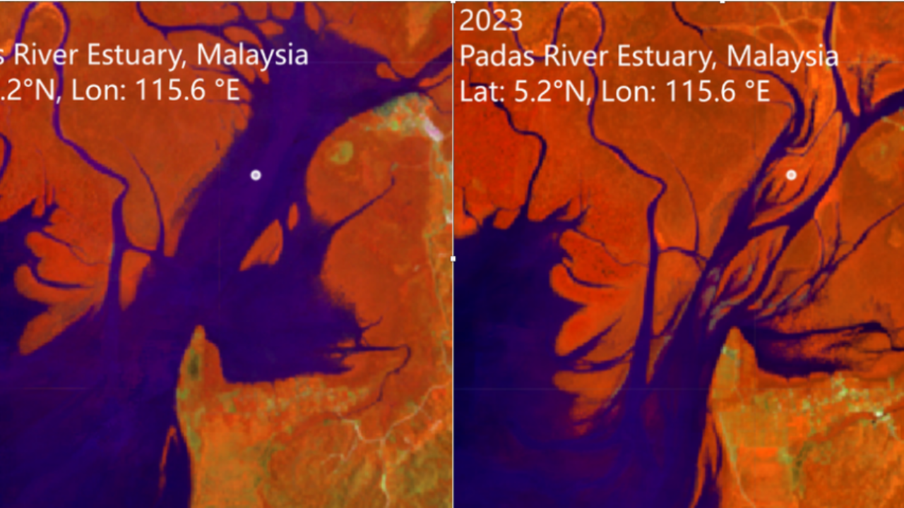
I radar satellitari falliscono nel mappare il cedimento del suolo: la vegetazione falsa i dati, minacciando i piani di sicurezza
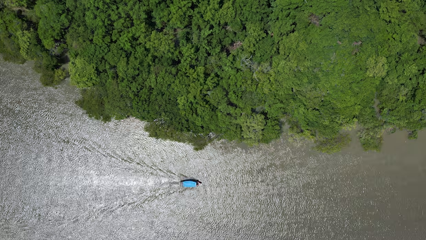
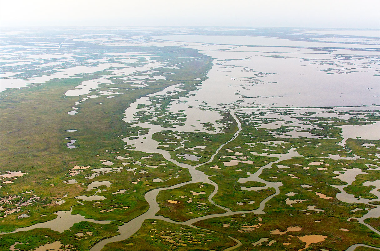
Mangrove forests rank among the world's most valuable coastal ecosystems, shielding communities from storms, storing vast amounts…
Los errores detectados en cientos de estudios sobre el nivel del mar han obligado a actualizar los mapas de riesgos costeros.
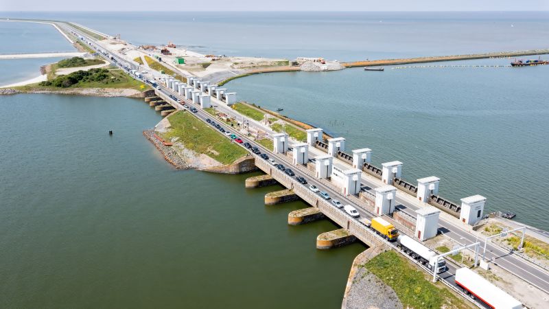
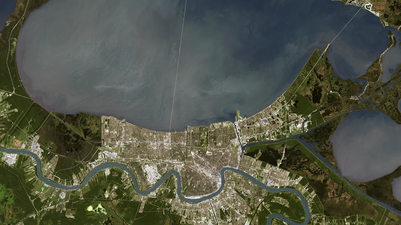
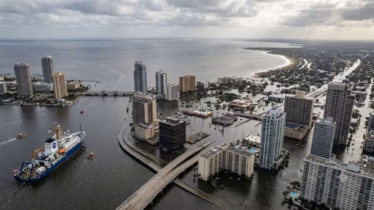
Experts says New Orleans must relocate. That's hard when your economy revolves around seafood.
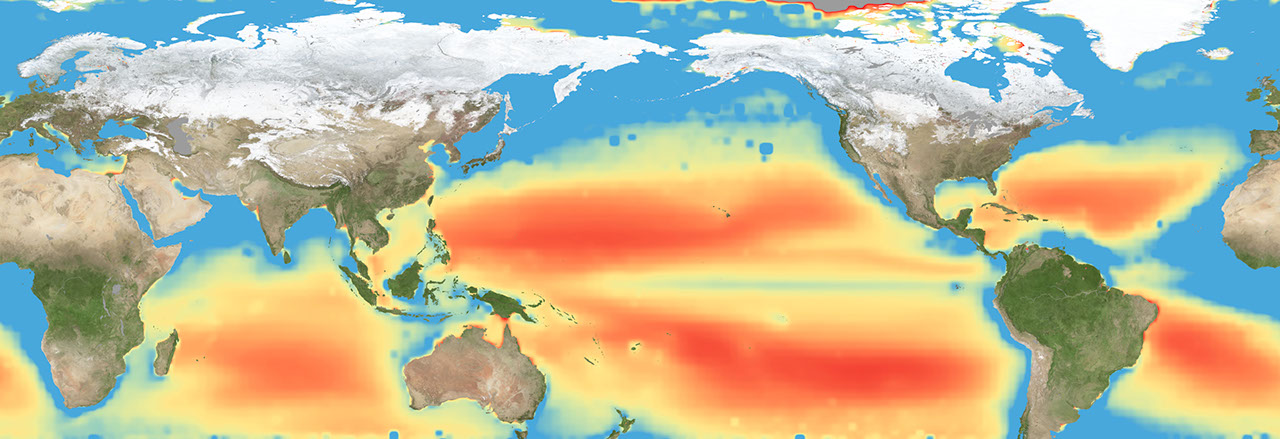
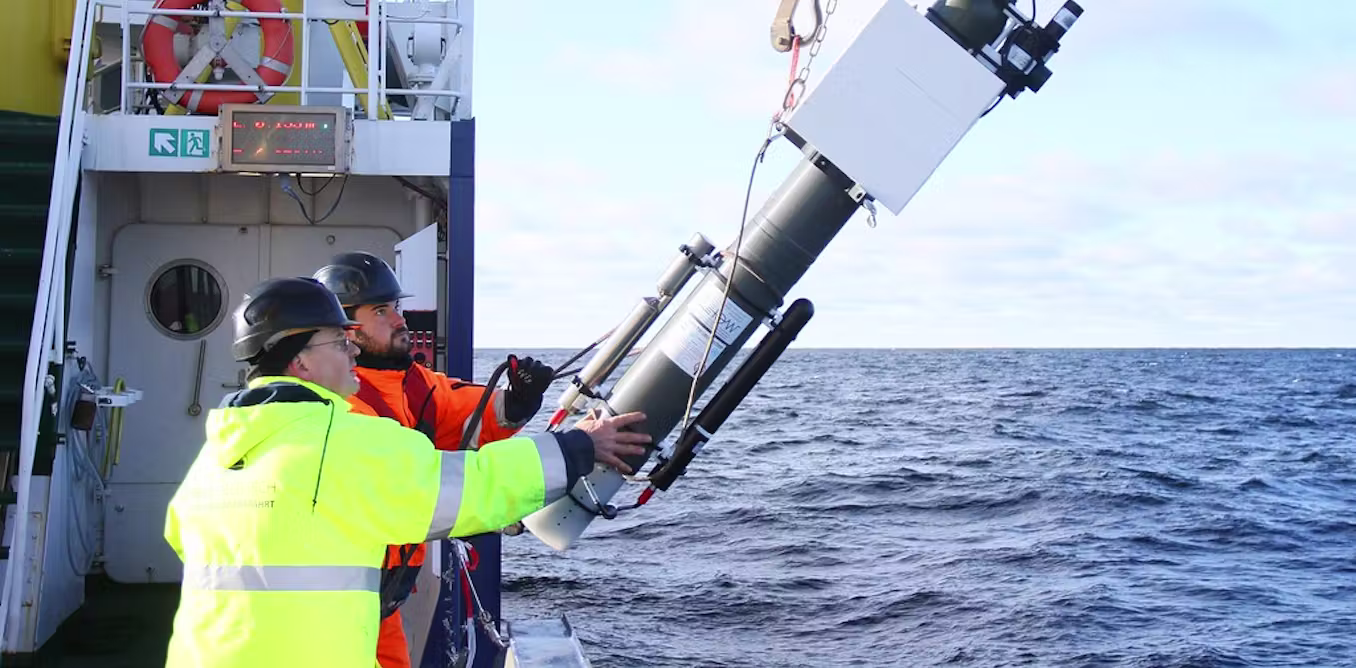
How might we prevent sea-level rise? Satellite-based radar, solar-powered drones, robot submarines and lab-based ‘artificial…
Life along the American coastline has always involved living with changing tides, storms and shifting shorelines. What is…

Losing Paradise - Longreads