IMD data show a clear and troubling rise in heatwave frequency across India over the past three decade
| Photo Credit:
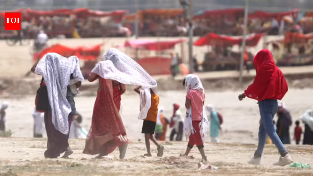
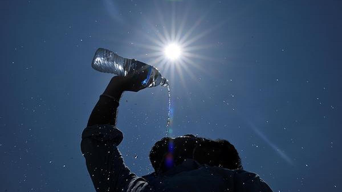
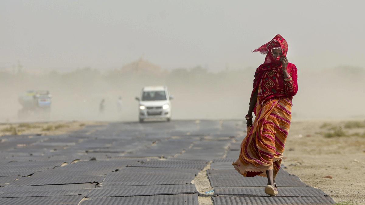
Extreme heat is no longer episodic; it is becoming a ‘continuous threat’ profile for India. Relentless frequency of heatwaves is creating a compounding effect, preventing regional economies from recovering before the next extreme heatwave event strikes. The Climate Risk Index 2026 ranks India ninth among the most climate-affected countries globally over the past three decades. National evidence reinforces this trend. While India Meteorological Department (IMD) starts issuing heatwave alerts and warnings during the onset of summer season, the Ministry of Earth Sciences assessments project a two-fold increase in heatwave days and around 43 per cent rise in extreme rainfall intensity by 2030.The human cost is rising alongside these trends. The Lancet Countdown (2023) reports an 85 per cent increase in heat-related mortality among older adults globally between 1990-1999 and 2013-2022, with India among the most vulnerable. Heatwaves are no longer seasonal events. They are a critical and escalating climate hazard, demanding localised heat risk assessments, micro-hot zone mapping, and urgent public health interventions at sub-district levels.Heatwaves becoming normalIMD data show a clear and troubling rise in heatwave frequency across India over the past three decades (map). India’s 2026 heat patterns reveal a shifting heat landscape where temperatures are 4-8°C above historical regional norms and no terrain, from scorched plains to coastal corridors to high-altitude refuges, is being spared.The plains remain India’s most intense heat zone. Cities in the plains like Jaisalmer, Gwalior and Nagpur continue to endure extreme dry heat exceeding 45°C and witnessing an increase of roughly 11 heatwave days per year and a 0.28°C rise in maximum temperatures between 1990 and 2023. Densely built-up urban environments with increasing population and shrinking green spaces intensify urban heat islands, disproportionately burdening those with the least access to cooling. The impact is already visible in the power sector, with electricity use for space cooling projected to grow up to eightfold by 2050.Coastal regions tell a different but equally concerning story. Between 1990 and 2023, these zones recorded approximately 26 additional heatwave days per year and a roughly 0.7°C rise in maximum temperatures, a rate significantly steeper than the plains. The greater danger is not temperature alone but the combined effect of heat and humidity: in coastal cities like Visakhapatnam, Chennai and Thiruvananthapuram, air temperatures of 37-43°C along with 60-80 per cent humidity can drive heat index values near 50°C, severely limiting the body’s ability to cool itself (IMD advisories). The International Labour Organization projects that heat stress of this kind can reduce India’s labour capacity by 5-6 per cent of total working hours by 2030, hitting outdoor workers in agriculture and construction hardest. Beyond lost productivity, such conditions also increase the risk of heat-related illnesses, placing an additional burden on public health systems.Perhaps the most alarming signal is coming from India’s hills. High-altitude regions, once seen as natural buffers, have recorded an increase of 163 heatwave days per year and a temperature rise of about 0.42°C between 1990 and 2023. For instance, hilly cities like Ooty and Shimla, considered traditionally as “climate refuges”, are experiencing a narrowing diurnal temperature range as nights are becoming warmer, reducing the physiological recovery that cooler mountain nights once provided. The impacts extend well beyond human comfort: warming is drying springs, stressing temperature sensitive crops like tea and coffee plantation, and straining fragile ecosystems.This non-uniform warming across terrains indicate that heat hazard is no longer confined to India’s traditional “heat belt.” With emerging hotspots in the Western Ghats, the Himalayan foothills, and along the coast, heat risk has become a nationwide challenge, one that exerts distinct and compounding pressures on every landscape and population.Sub-district level planningHeat is a local phenomenon. Standard averages and generic terrain thresholds often mask the critical hotspots and assets at risk, and lived experiences of vulnerable populations. What India urgently needs is a shift. From broad national projections to high-resolution, actionable heat intelligence at the sub-district, taluka, and ward level. From heat as a meteorological event to heat as a local governance emergency that demands local data, local institutions, and local responses.Central to this effort is the establishment of a robust, local institution-led data governance framework that integrates real-time weather data with ground realities. As “first responders” to climate change, local governments like municipalities can facilitate continuous collection, maintenance, and democratisation of datasets that are accessible to the broader research community. To develop high-resolution heat risk maps, sub-district data must integrate climate variables like temperature and humidity with socio-economic indicators — including informal housing and vulnerable groups like outdoor workers — alongside critical infrastructure and agricultural patterns.By shifting from broad averages to high-resolution data, local governments can proactively heat-proof critical road, rail, and power networks against thermal stress. For electric utilities, this granular heat intelligence will enable proactive prediction of infrastructure failure points and forecasting of electricity spikes by correlating real-time weather data with consumer cooling behaviour.Advanced analysis toolsBeyond infrastructure, these insights can empower agricultural departments to deploy interventions that safeguard crop yields. For instance, agrometeorological advisories issued by IMD use localised weather forecasts to guide farmers on adjusting sowing dates, irrigation scheduling, and crop protection during heat stress events helping reduce yield losses. Similarly, health departments can utilise early-warning systems with targeted, life-saving awareness protocols for schools, anganwadis, and public health centres.Advanced risk analysis tools and modelling frameworks via AI and machine learning algorithms can significantly sharpen the heat risk assessments by processing vast datasets to identify hidden micro-climate patterns and pinpoint high-risk heat zones with precision. For example, satellite data combined with machine learning was used to map urban heat islands to help cities identify heat “hotspots” and prioritise targeted cooling interventions.India is a country of staggering geographic, climatic and social diversity. Understanding these nuances are key to surviving an era of intensifying heat waves. Localised heat risk assessments must become an integral pillar of sub-district climate planning. Ultimately, this granular data must be integrated to drive targeted policy interventions, providing a comprehensive safety net for both the economy and the most climate-vulnerable communities.Sandhya is a Senior Advisor, and Kala is a Manager, at Vasudha FoundationPublished on June 5, 2026