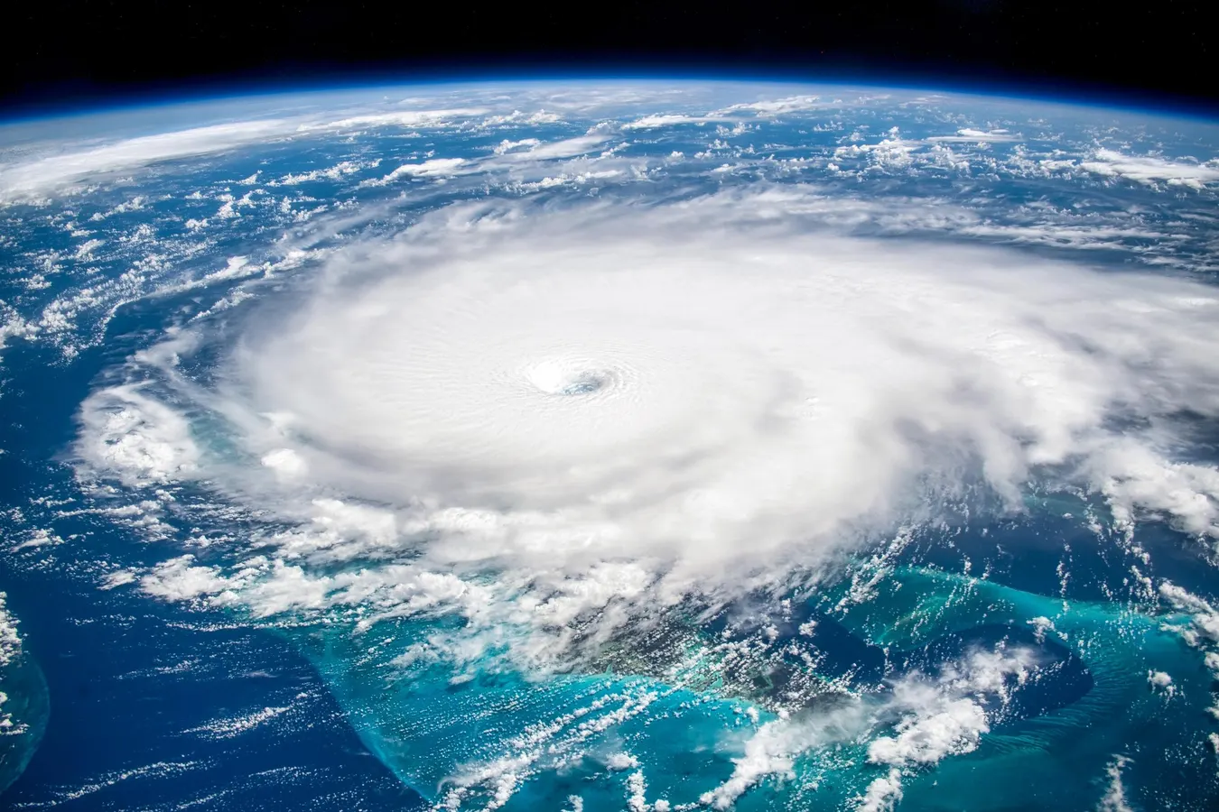
The image is a 'digital enhancement' recreating the artist view. The bland original image from NASA was transformed using digital software. Focus, texture, details were added. Also the white and black points were determined. In addition, creative color interpretation of the scene was applied. Elements of this image furnished by NASAgettyIt’s June 1. The Atlantic hurricane season has officially begun. While most people are aware of the start date, it may not be evident why it is the “kickoff” of one of the most dangerous parts of the weather year. Here’s an explanation.First, let’s take a look at what is expected this season. The National Oceanic and Atmospheric Administration says there is a 55% chance of below-normal hurricane season in the Atlantic basin from June 1 to November 30. There is only a 10% chance of above-normal activity. “The agency is forecasting a total of 8-14 named storms (winds of 39 mph or higher),” according to a NOAA press release. “Of those, 3-6 are forecast to become hurricanes (winds of 74 mph or higher), including 1-3 major hurricanes (category 3, 4 or 5 with winds of 111 mph or higher),” it went on to say. There is a 35% chance of normal activity, which is about 14 named storms, seven hurricanes, and three of those reaching a major category.2026 Atlantic Tropical Cyclone NamesNOAAThe atmospheric scientist in me understands why seasonal outlooks are done. However, the common sense in me gets nervous about them because people often focus on “below-normal” and assume no activity. One major hurricane can change lives. Twelve storms can too. Even if that is “below” the average number of 14. With that update, let’s get to the question of the day. Why does the Atlantic hurricane season officially start on June 1? “In 1935, the season was set from June 15 through November 15 to match up with a special telegraph line connecting the various centers of the U.S. Weather Bureau,” wrote Jonathan Erdman and Jonathan Belles at The Weather Channel. In the 1964-1965 time frame, the start and end dates were changed to what are used today.MORE FOR YOUJune 1 is the start of “meteorological summer.” Yes, I know, I know. Your calendar says summer begins with the solstice later in the month. In my profession, we break the year up into four 3-month blocks based on the yearly temperature cycle rather than things governed by orbits and planetary tilt. Why? It makes for cleaner assessment of weather and climate data, statistics, and trends. I am not claiming that is the sole reason June 1 was selected for the Atlantic hurricane season, because ironically, the Eastern Pacific hurricane season start date is still May 15. Because of different timing of sufficiently warm waters and atmospheric patterns, that season starts earlier.Atlantic hurricane and tropical storm activity.NOAA and NWSIn recent years, Atlantic-basin tropical activity has increasingly started before June 1. “From 2015 through 2024, only two seasons did not see at least one named storm form in the Atlantic Basin prior to June,” wrote Erdman and Belles. Those years with pre-June storms ended up being more activity. In 2021, they also noted that the National Hurricane Center began issuing Atlantic tropical weather outlooks as early as May 15. As I have written in the past, the concept of “hurricane season” is somewhat of an artificial construct these days. As you see from the graphic above, storms have happened in the majority of the months of the year. Though not captured, Hurricane Alex (2016) was the first Atlantic hurricane on record in January.While air temperatures typically start to heat up in June, water temperatures typically lag. Water has a higher specific heat than land, so it takes longer for the tropical activity “threshold” of 79 degrees Fahrenheit to be breached. You are familiar with this basic physics principle when you walk on hot sand at the beach this June, but water temperatures are still cold. That’s why peak activity is usually in late August to early October. However, warming ocean temperatures are changing the equation. Seas are often warm enough earlier than June 1 and after November 30.Stay diligent this season. Have a plan (at the coast and inland).Trends in sea surface temperatures in the Atlantic hurricane main development region.Climate Change Institute, University of Maine
Why The Atlantic Hurricane Season Begins On June 1st
It's officially hurricane season. Why does it start on June 1st?
716 words~3 min read