Show Caption
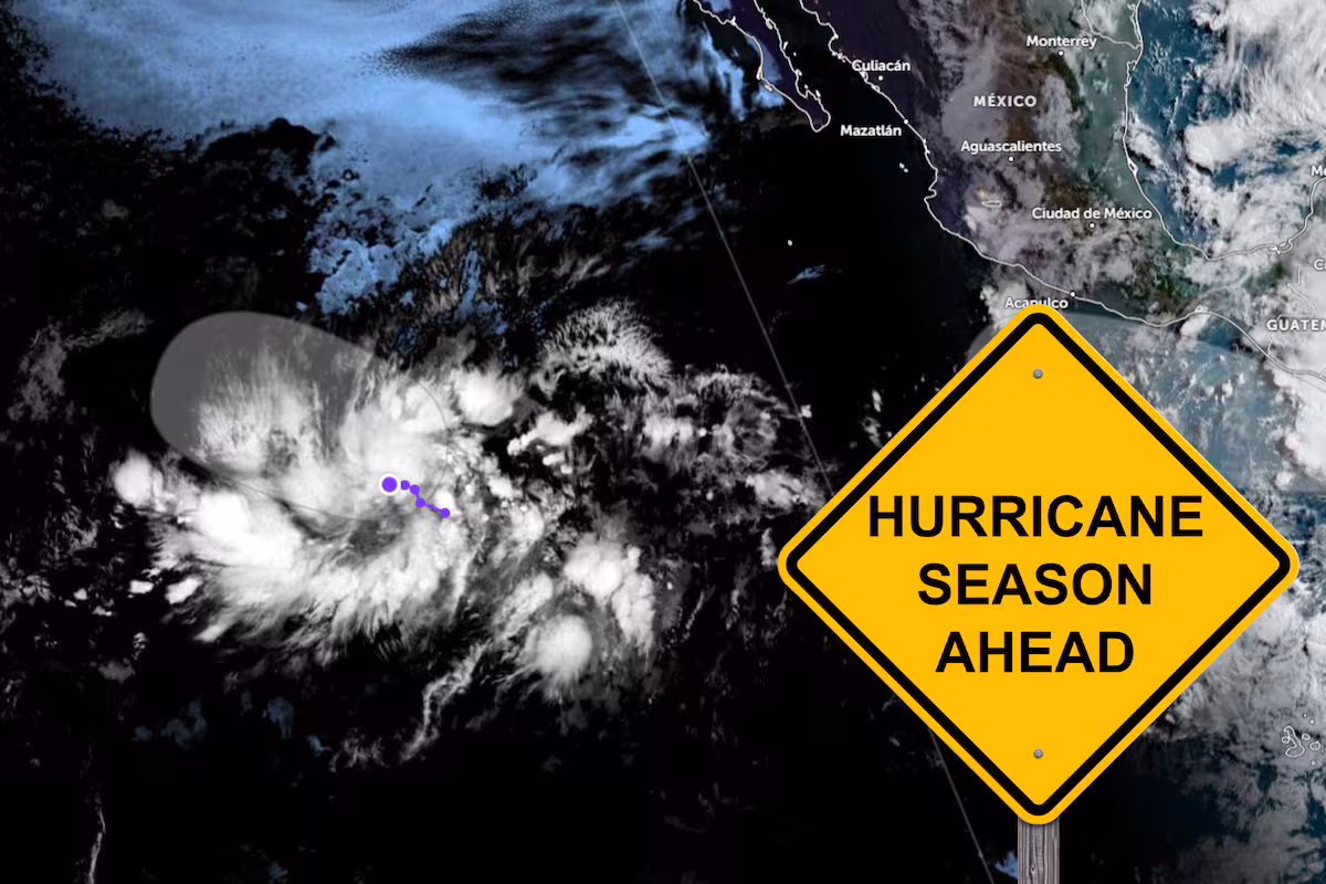
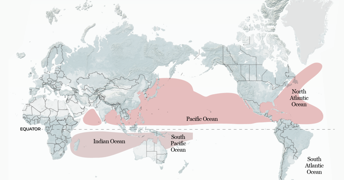
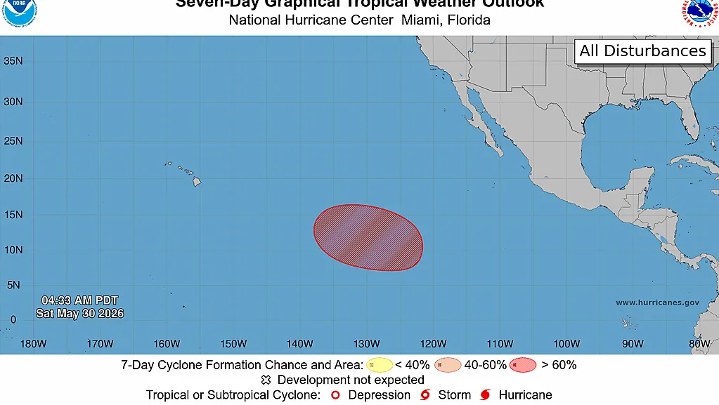
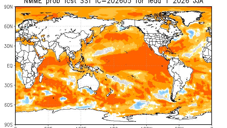
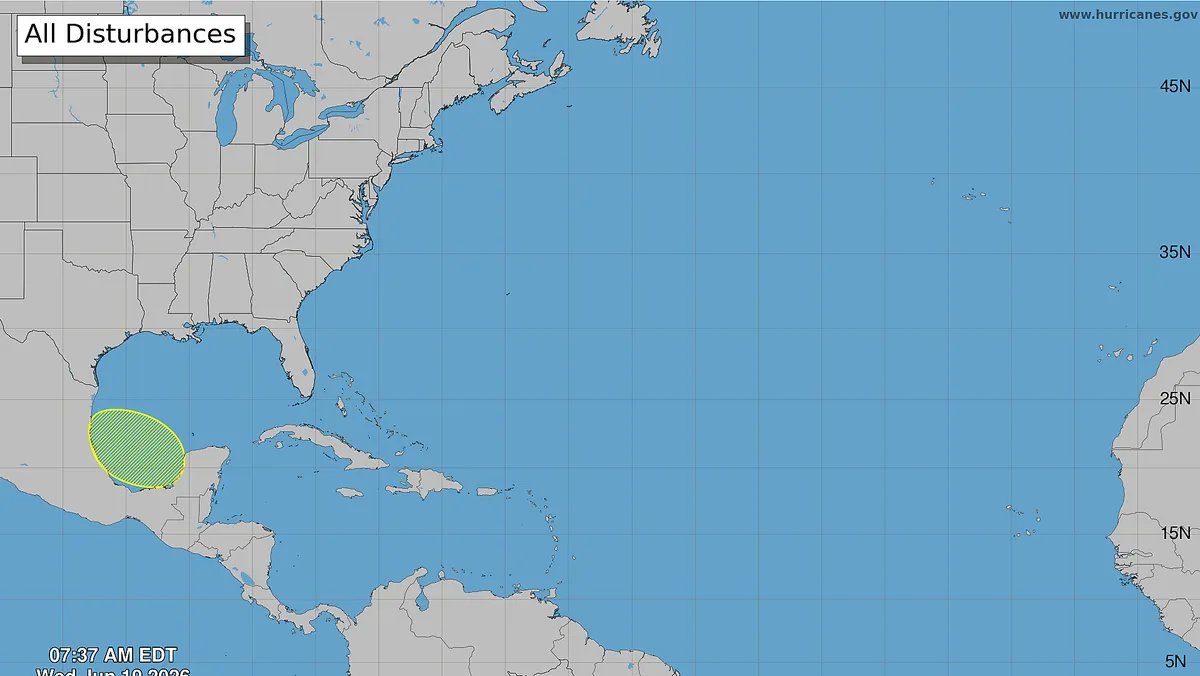
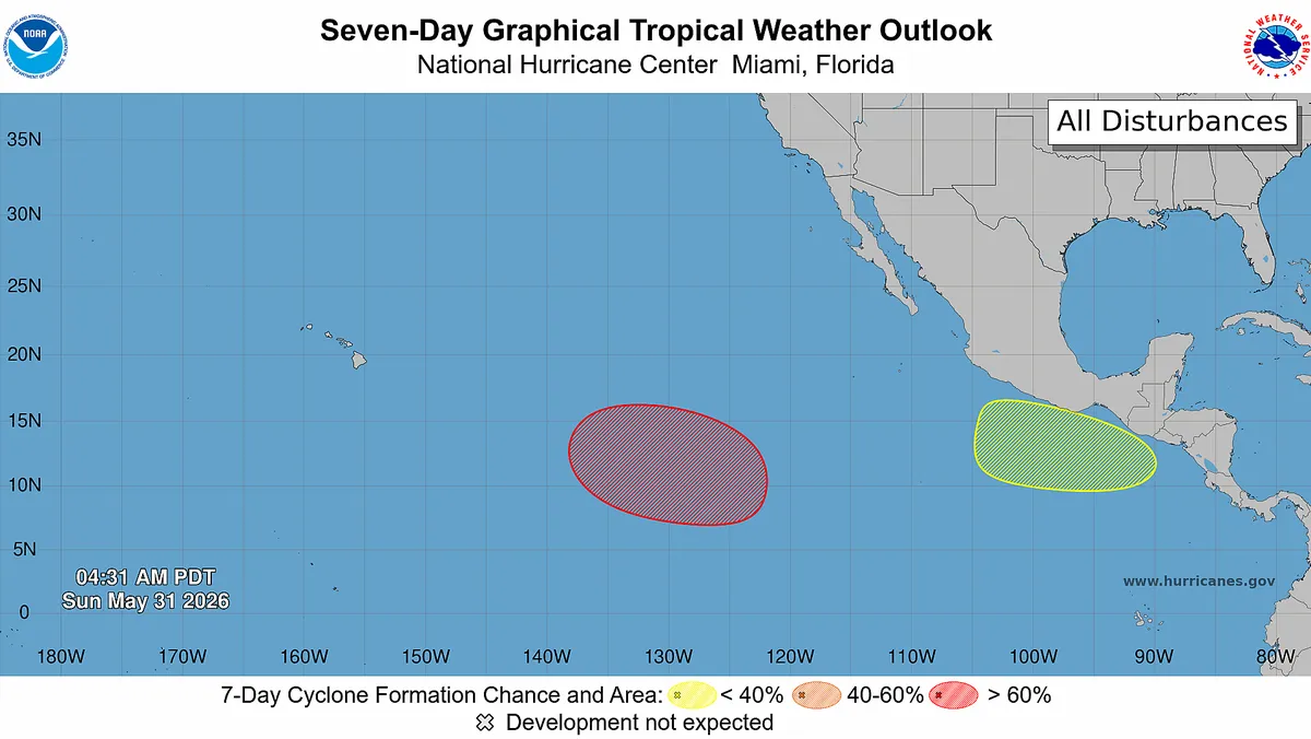
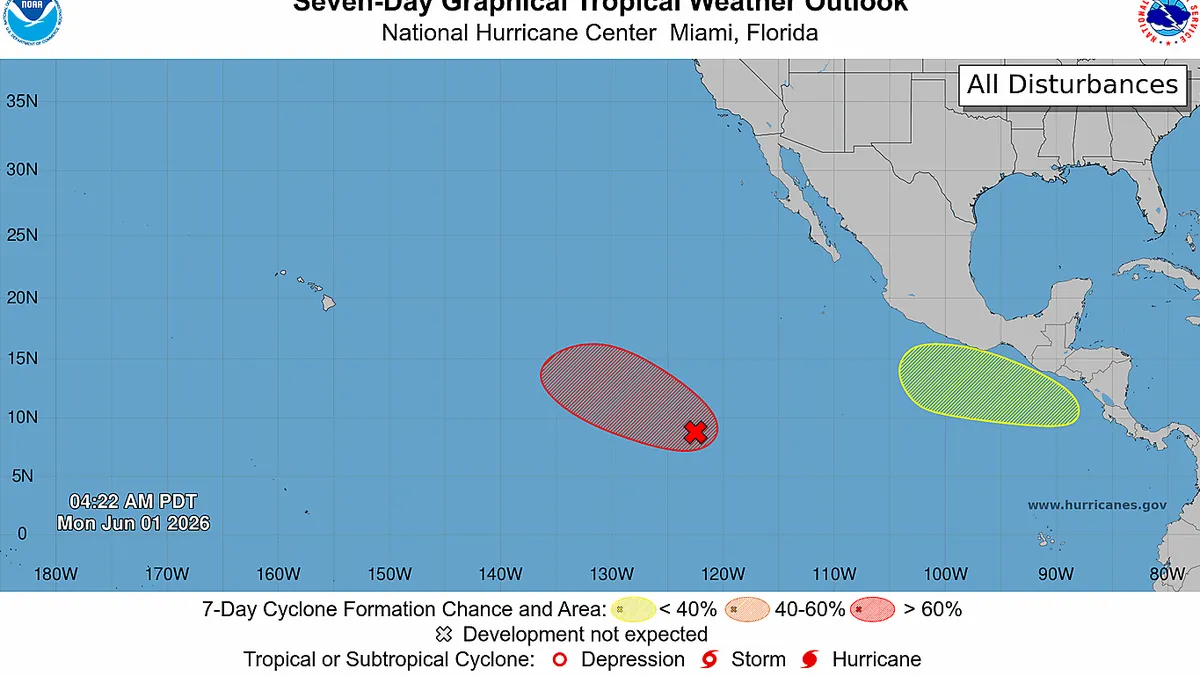
Hurricane forecasters are monitoring two possible tropical storms in the eastern Pacific basin, the National Hurricane Center said in a June 1 advisory.The newer system is located well southwest of the southern tip of the Baja California Peninsula and continues to produce "disorganized showers and thunderstorms," according to the hurricane center advisory.Forecasters said environmental conditions appear conducive for further development, with a tropical depression expected to form during the middle part of the week. The hurricane center is giving it a 90% chance of tropical development within the next week as it moves westward or west-northwestward across the western portion of the East Pacific.Additionally, the hurricane center said an area of low pressure could form off the coast of Central America and southern Mexico late this week and over the weekend. Forecasters said environmental conditions appear favorable for some development of this system, giving it a 30% chance of tropical development within the next week.The likely Pacific storms are forming against the backdrop of the official opening of the Atlantic hurricane season on Monday, June 1.See the Pacific storm trackerPacific storms seldom hit landUnlike storms in the Atlantic basin, the vast majority – roughly 85% to 90% – of storms that form in the Pacific don't ever threaten land and often spin harmlessly out to sea. However, they can occasionally impact Hawaii, the west coast of Mexico or the Southwest U.S. with heavy flooding and rainfall.Whichever system becomes a tropical storm first, it will get the name Amanda, which is the first name on the Pacific storm list for 2026.Contributing: Doyle Rice, USA TODAYGabe Hauari is a national trending news reporter at USA TODAY. You can follow him on X @GabeHauari or email him at Gdhauari@gannett.com.