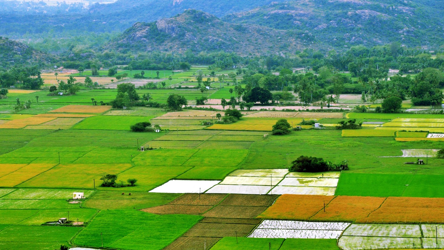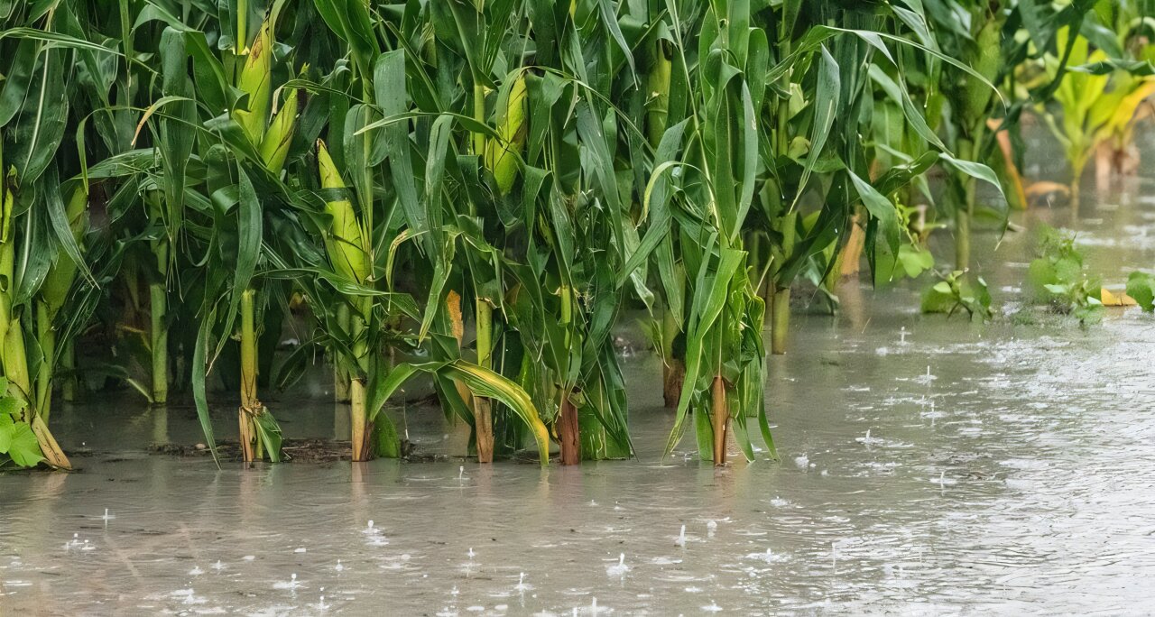
A thunderstorm drenches corn fields. Credit: USDA Photo by Lance Cheung
An international team of scientists has demonstrated how powerful thunderstorm complexes over the U.S. Corn Belt are fueled by moisture rising from the region's fertile fields or just beneath them. The findings can lead to better and longer-term weather forecasts for this critical farming area as well as giving researchers new insights into improving computer models needed to better understand atmospheric processes.
The research, led by scientists at the U.S. National Science Foundation National Center for Atmospheric Research (NSF NCAR), focuses on mesoscale convective systems (MCSs), which are complexes of thunderstorms that span 60 miles or more and persist for many hours. The paper concludes that natural reservoirs of shallow groundwater, coupled with irrigation systems and vast fields of crops across the Corn Belt, increase the frequency of these storm systems by 24–35%. The systems also persist about 10% longer.
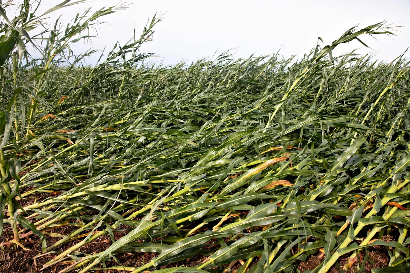
MCSs are a critical weather feature of the Corn Belt, providing approximately 40–60% of precipitation during the growing season. Even as these potent storms deliver essential moisture to an agricultural region that produces more than a third of the world's corn, however, they also unleash destructive hazards, including flooding, hail, high winds, and tornadoes.