Yuichiro Chino / Getty Images
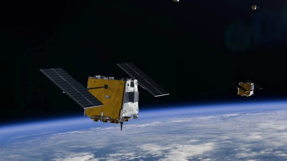
Google $GOOGL +0.58% Earth looks detailed enough to count cars in a parking lot. That makes it natural to wonder why companies building AI for robots, autonomous vehicles, and augmented reality can't just use satellite imagery to train their models.
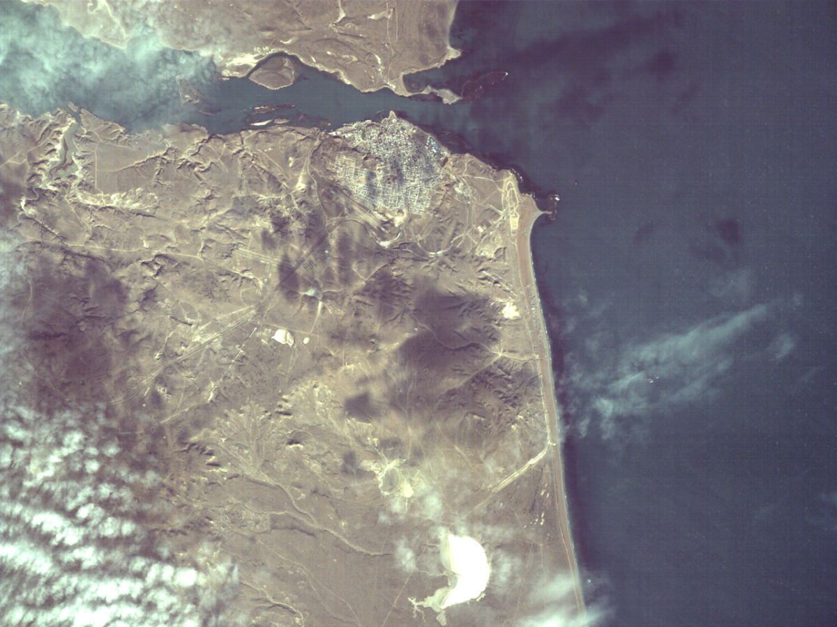
The answer comes down to a technical concept called ground sample distance, which measures the physical distance each pixel in an image represents. Spexi, one company working on the problem, delivers drone imagery with a resolution of 2.8 centimeters per pixel. The best commercial satellites offer about 30 centimeters of resolution. That factor-of-ten gap is the difference between seeing a sidewalk crack and seeing a gray smear.
The resolution ceiling for commercial satellite imagery has been shaped as much by regulation as by optics. NOAA, the U.S. regulatory agency overseeing commercial remote sensing, long limited the resolution of commercially available satellite images — the federal limit was relaxed from 50 centimeters to 25 centimeters in 2014.
The highest-resolution commercial satellites in orbit reflect that history. Maxar's WorldView-3 collects 31-centimeter panchromatic imagery. Planet Labs' SkySat constellation captures imagery at up to 50 centimeters per pixel. Planet's daily-monitoring PlanetScope constellation, which images all of Earth's land surface every day, operates at a resolution of about three meters per pixel.