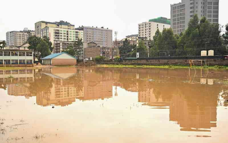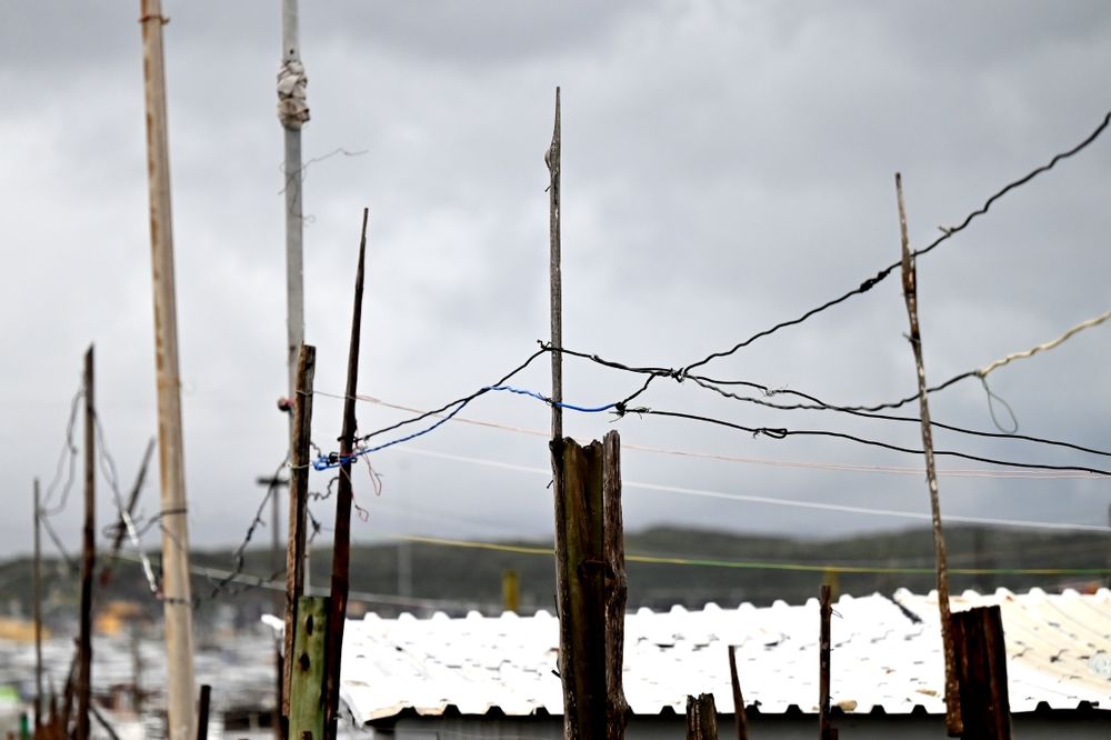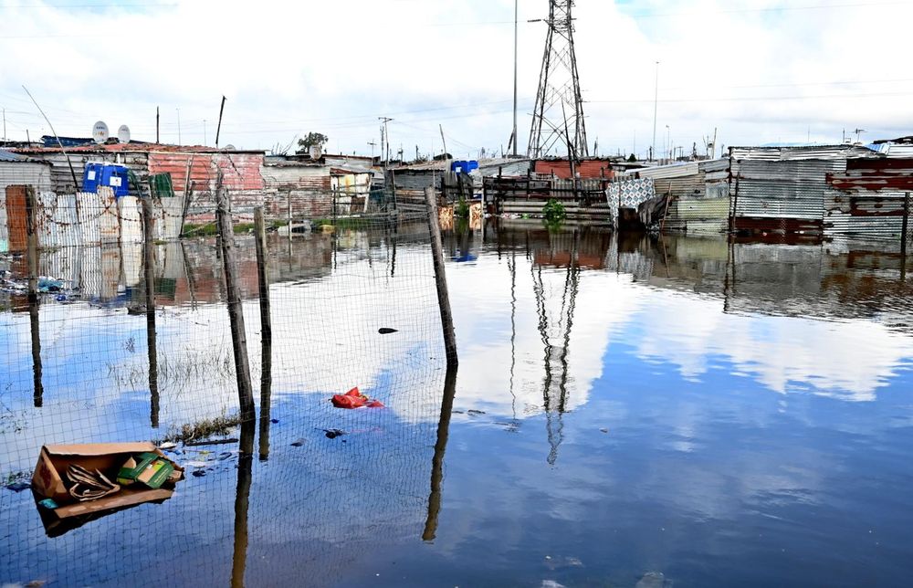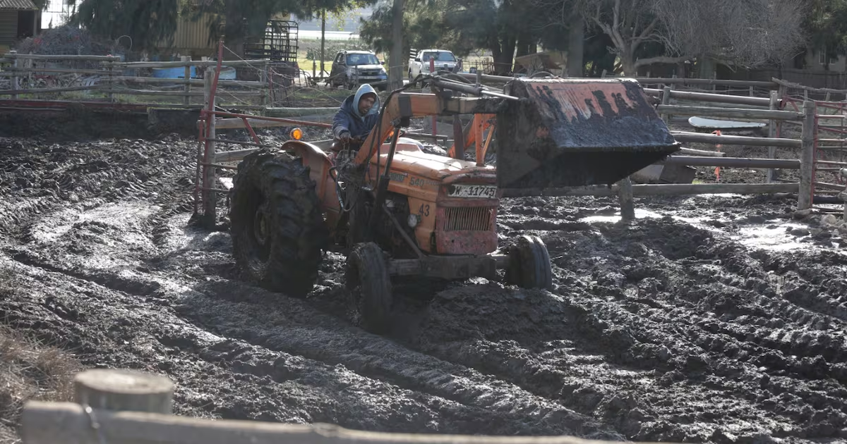
Resident on a rooftop in Khayelitsha repairing electrical wiring damaged during recent flooding, as storm impacts continue to affect homes in the area.
A Cape Town-based geolocation intelligence company, Timbuki 2 AI, has built a community-generated dataset documenting flooding and infrastructure damage to parts of the Western Cape following last week’s storms, showing that in several areas conditions persisted long after rainfall had stopped.
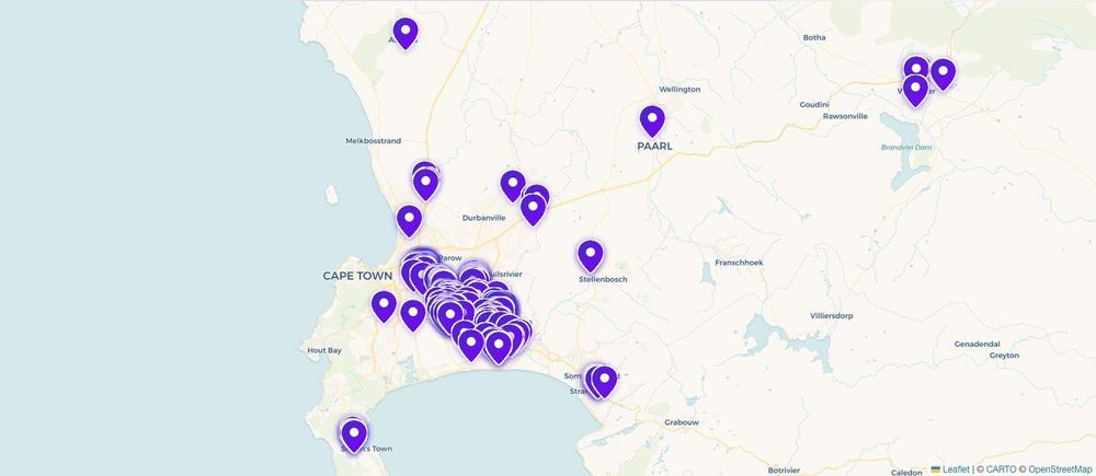
The company collected and reviewed 362 verified submissions between May 13 to 19, forming a public flood map based on geotagged reports sent by residents from 20 areas through WhatsApp.
According to Timbuki 2 AI, real-time data indicates that flooding did not end with the storm, as residents reported that water remained in homes and streets for days due to blocked drainage systems, waste accumulation, and overloaded stormwater infrastructure.
The hardest-hit areas include parts of the Cape Flats such as Khayelitsha, Nyanga, Philippi, Samora Machel, and Delft. These areas repeatedly reported water entering homes, blocked drainage systems, and roads that remained impassable days after the storm.