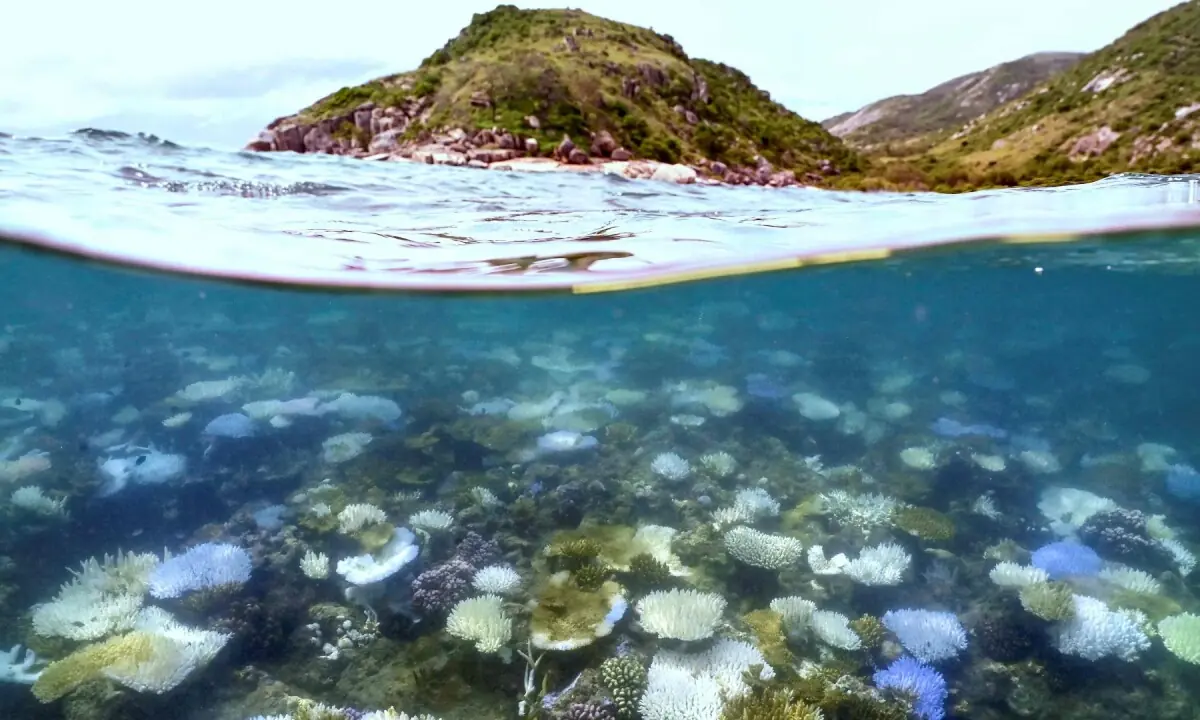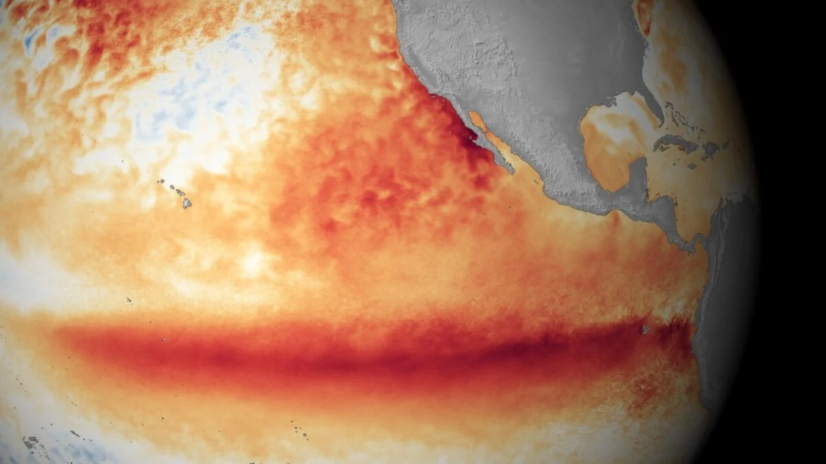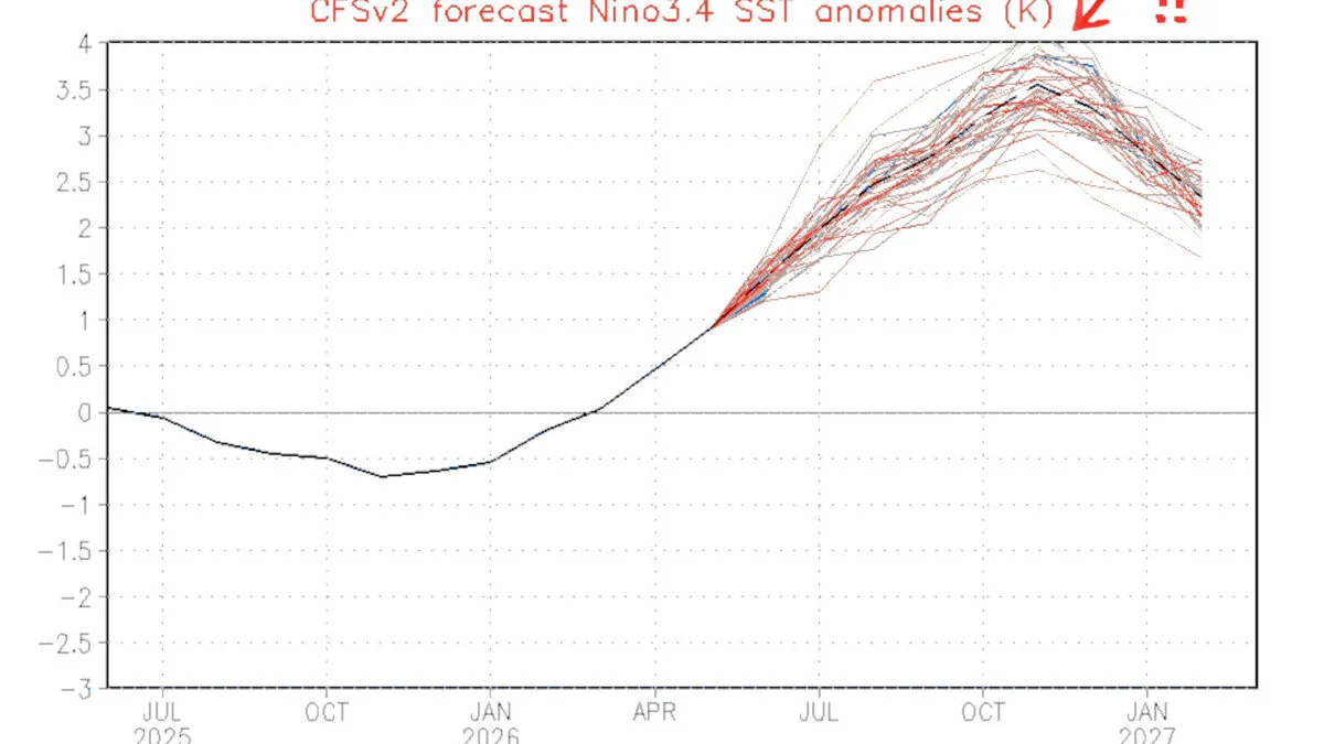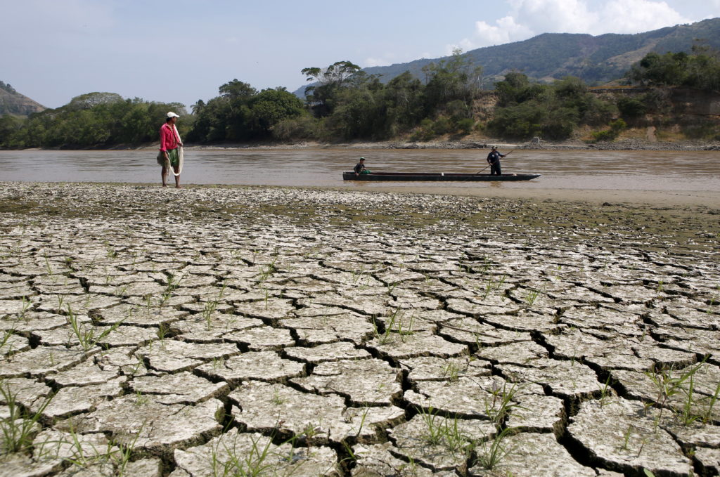
As summer approaches, chances are rising for one of the strongest El Niño events in history. Forecasters are growing increasingly confident that this temporary warming of the tropical Pacific Ocean will set a new global temperature record, but what does that mean for the climate crisis? El Niño events are now unfolding against the backdrop of human-driven climate change. The relationship between these forces is highly complex, and researchers are still working to understand exactly how they influence each other. But in recent years, it’s become evident El Niño can compound the warming effects of rising greenhouse gas concentrations, helping boost the global average temperature into uncharted territory. As humanity continues to pump the atmosphere full of carbon, the impacts of El Niño will likely become more severe, and the climate will have a harder time recovering from these cyclical temperature surges. Let’s unpack what this all means and how a potentially extreme El Niño could impact our rapidly warming world.
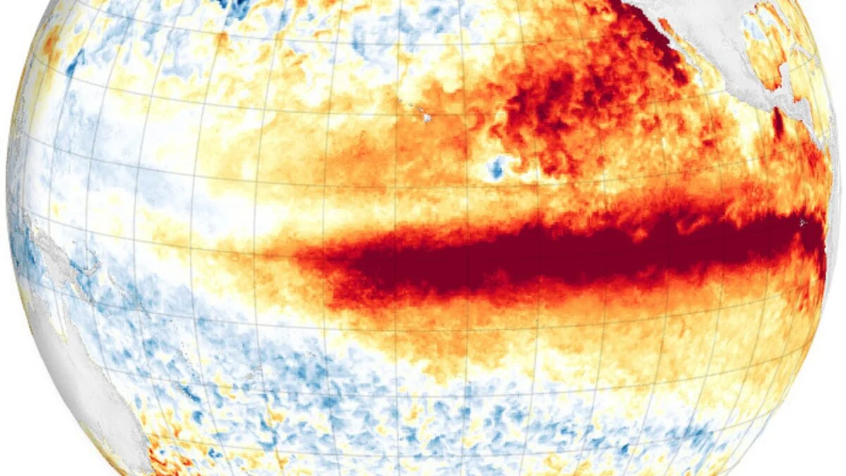
Understanding El Niño The El Niño-Southern Oscillation (ENSO) is a recurring climate pattern that cycles between periods of cool (La Niña) and warm (El Niño) sea surface temperatures in the central and eastern tropical Pacific. This cycle is irregular, with El Niño and La Niña events occurring on average every two to seven years, according to the National Oceanic and Atmospheric Administration (NOAA).