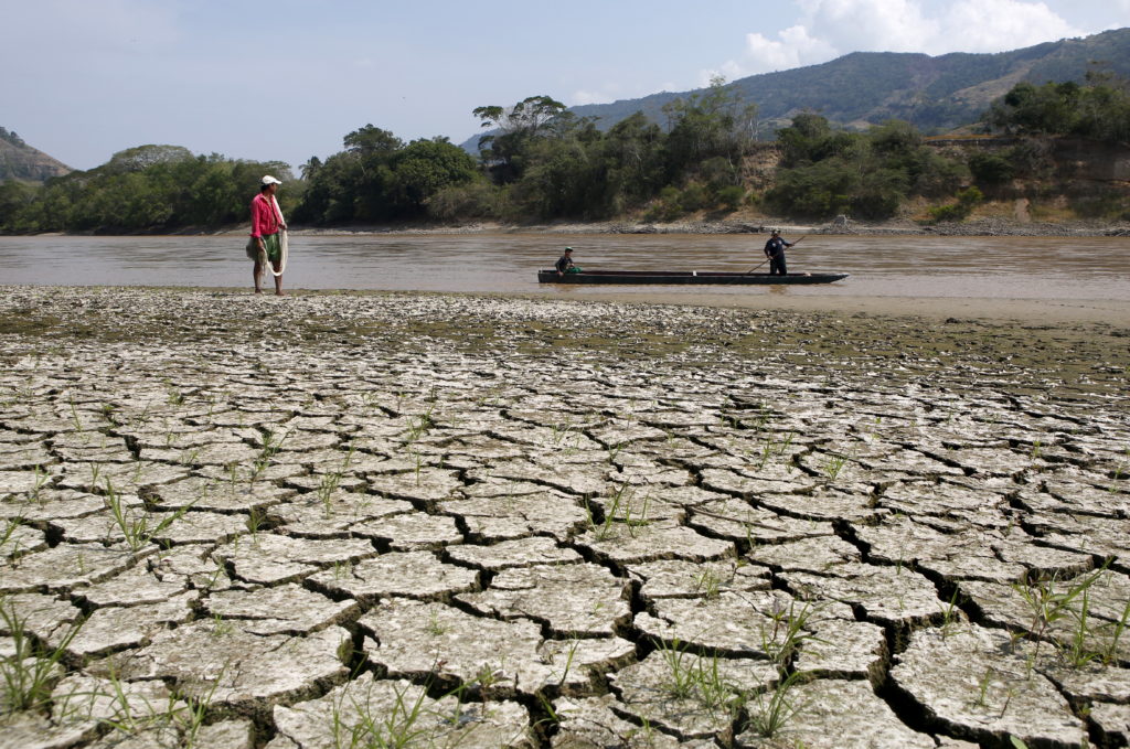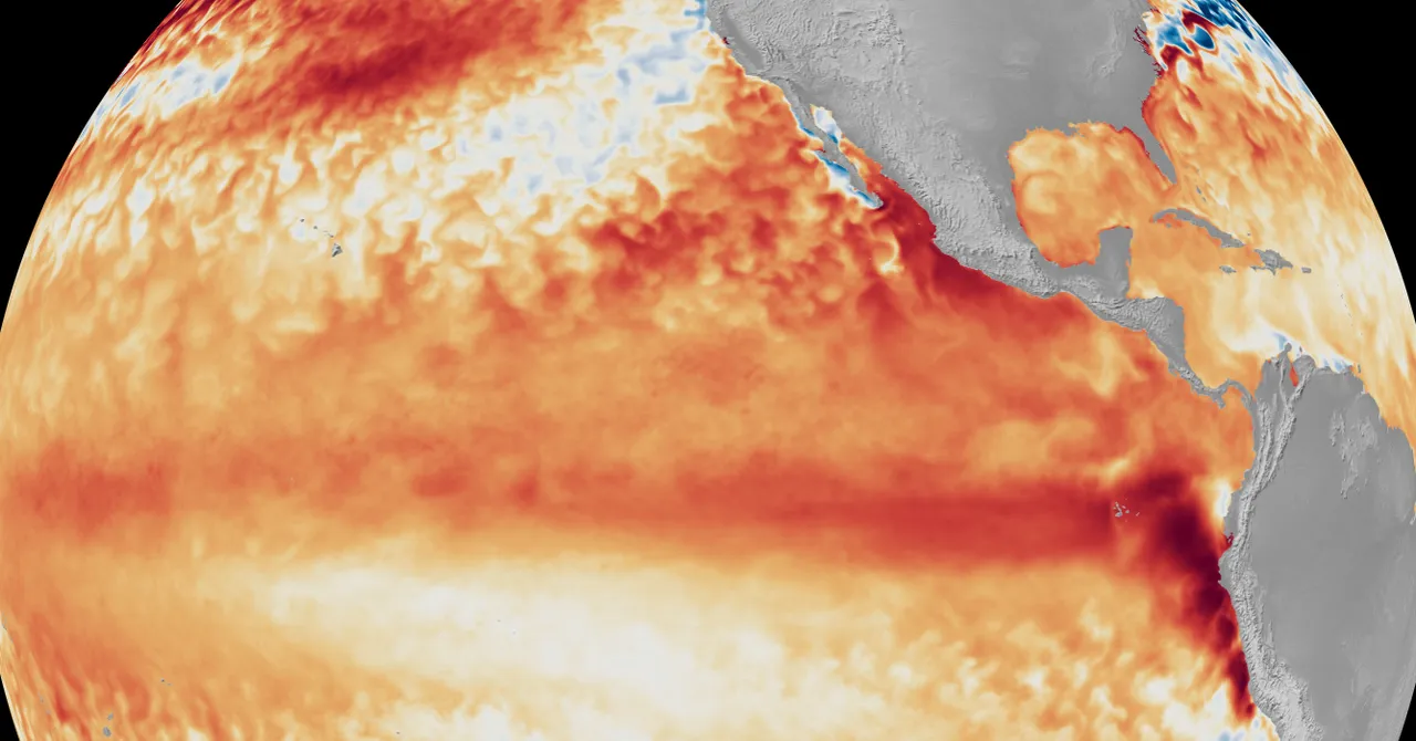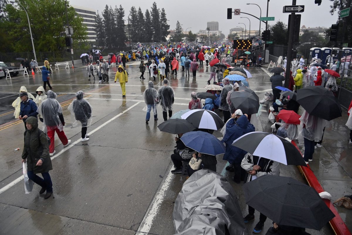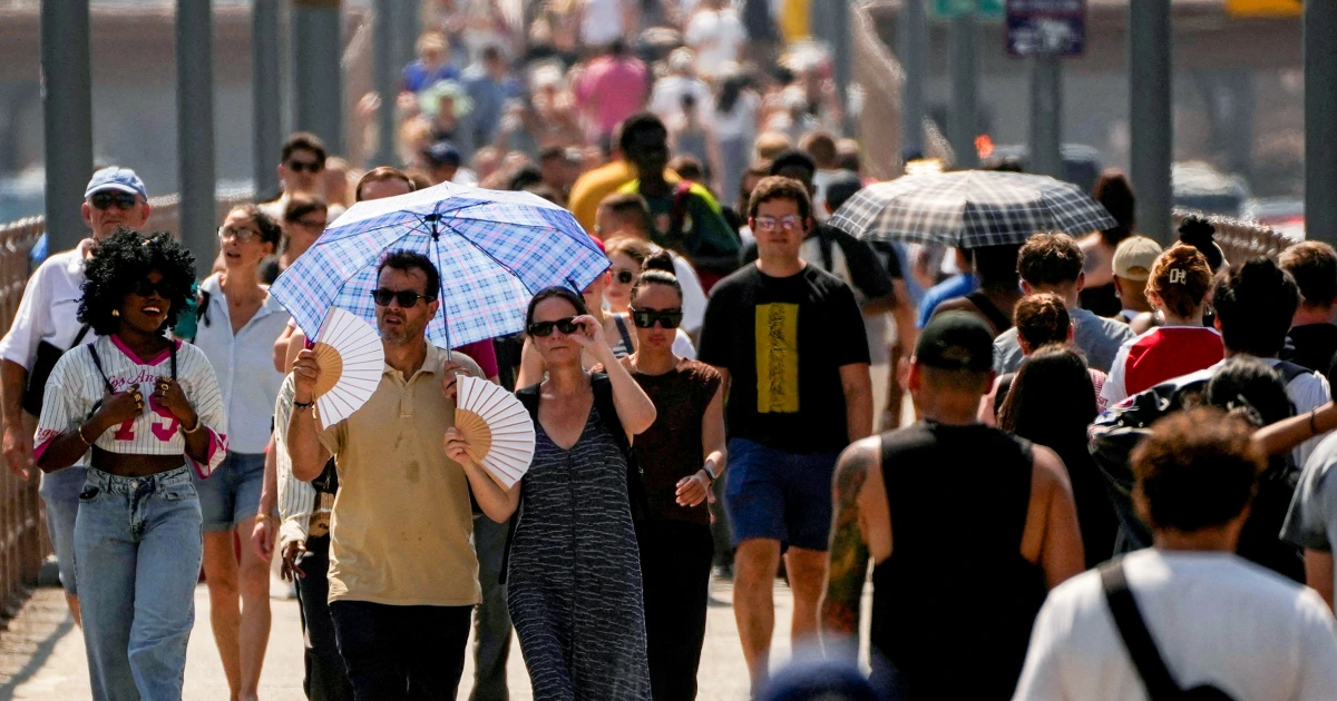
El Niño has arrived, which means we’re probably about to see some shifts in North American weather patterns. While the effects of El Niño are most significant in the winter, all that extra heat emanating from the Pacific Ocean can influence summer weather, too. The stronger the El Niño, the more likely it is to produce wild weather, and this one looks like it’s going to be a doozy. According to the latest update from the National Oceanic and Atmospheric Administration (NOAA), there is a 63% chance that this El Niño will become “very strong” by November. It’s still developing but strengthening rapidly, with sea surface temperatures jumping from 1.26 degrees Fahrenheit (0.7 degrees Celsius) above average in early June to 1.98 degrees F (1.1 degrees C) above average by mid-June. So what does this mean for summer weather in the United States? The short answer is: It’s complicated. El Niño impacts vary significantly by region, and the expected outcomes aren’t guaranteed, even during a particularly strong El Niño. With that said, experts pointed to certain trends each region of the U.S. may be more likely to experience this summer, from heightened risk of storms to more severe heat waves.
Here's What the Newly Formed Super El Niño Means for Summer in Your Region
Parts of the U.S. could see increases in certain types of extreme weather. Here's everything you need to know.
967 words~4 min read