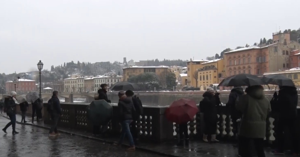
Italy is seeing snow over low ground, waves up to 10 meters, and gale-force winds as winter's tail strikes the Bel Paese, a top forecaster said Thursday saying the phenomena will last until Friday.
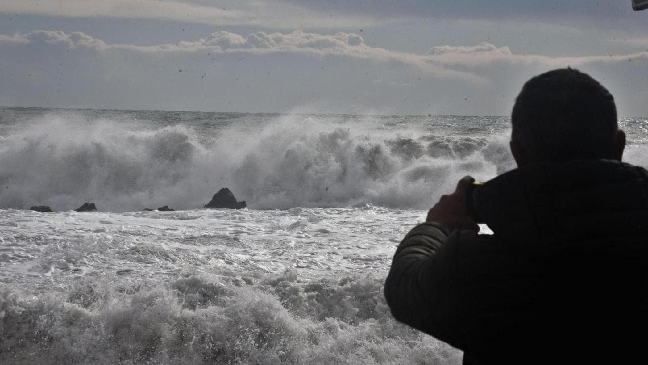
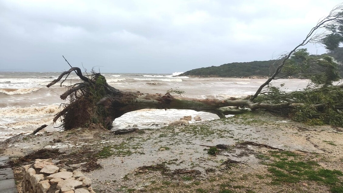
"We're seeing Extreme winds, temperatures dropping by at least 10 degrees, storm surges, and waves up to 10 meters high: the Arctic cyclone has arrived in Italy, with its effects expected to persist until tomorrow.
It's a true final twist of winter's tail," said Lorenzo Tedici, meteorologist for iLMeteo.it.
"Today we will have gale-force winds and storm gusts, Foehn in the northwest, Bora initially in the upper Adriatic, and Mistral elsewhere; in Sardinia, the Mistral will raise massive waves, classified as "rough seas," with heights between 7 and 10 meters (Douglas scale).
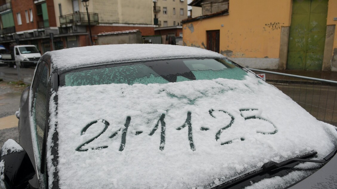
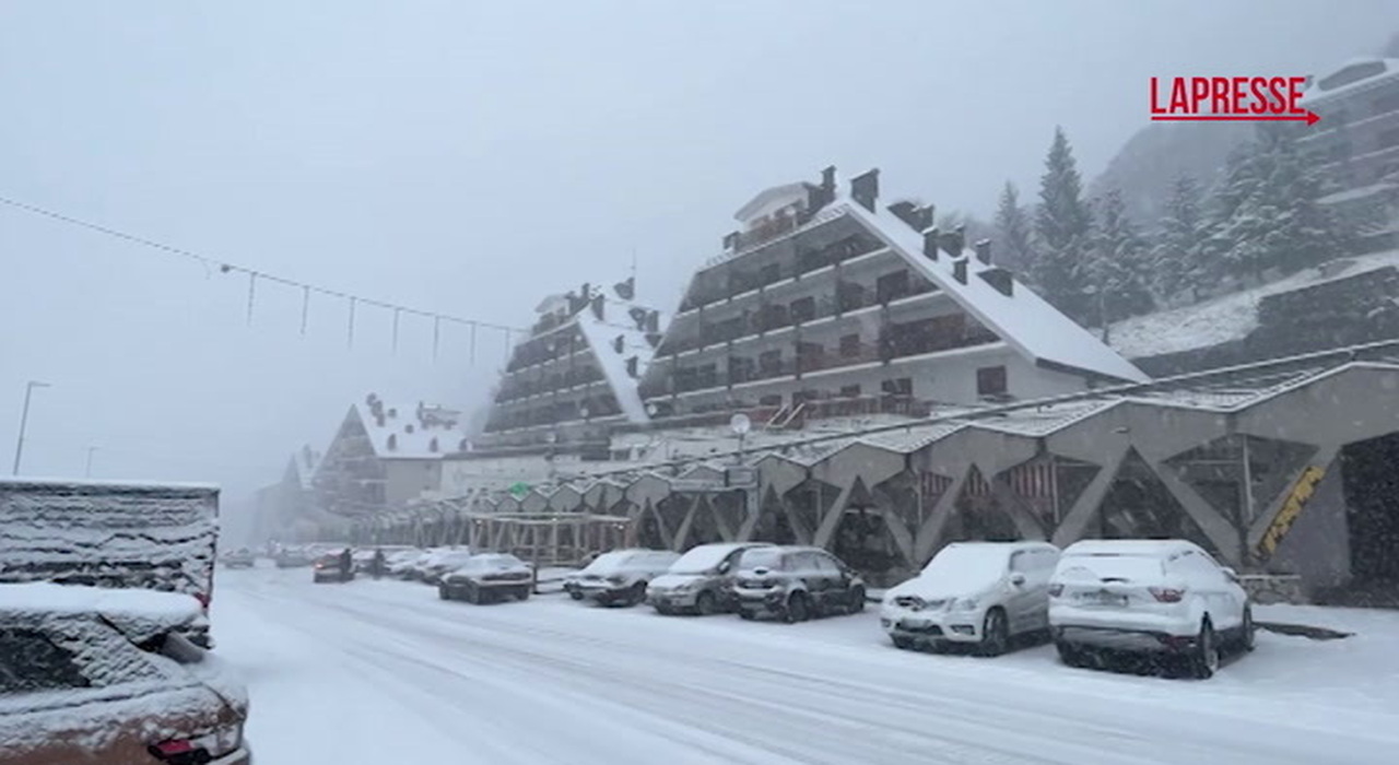
"Snow will fall down to hilly altitudes, especially on the Adriatic coast, and maximum temperatures will drop by as much as 10°C." On Friday, Tedici added, "we will experience even more distinctly wintery conditions: night frosts are expected in the Northwest down to the plains, with lows around -2°C.