The planning area of the Tiruchi Master Plan for 2025-2045 has been increased to 804.53 sq.km from the existing 281.14 sq.km.
The State government unveiled its draft Tiruchi Master Plan in February 2024, inviting suggestions, comments, and views from all stakeholders. The final Master Plan has been released, two years after the release of the draft plan, by incorporating many changes based on the suggestions of various stakeholders.
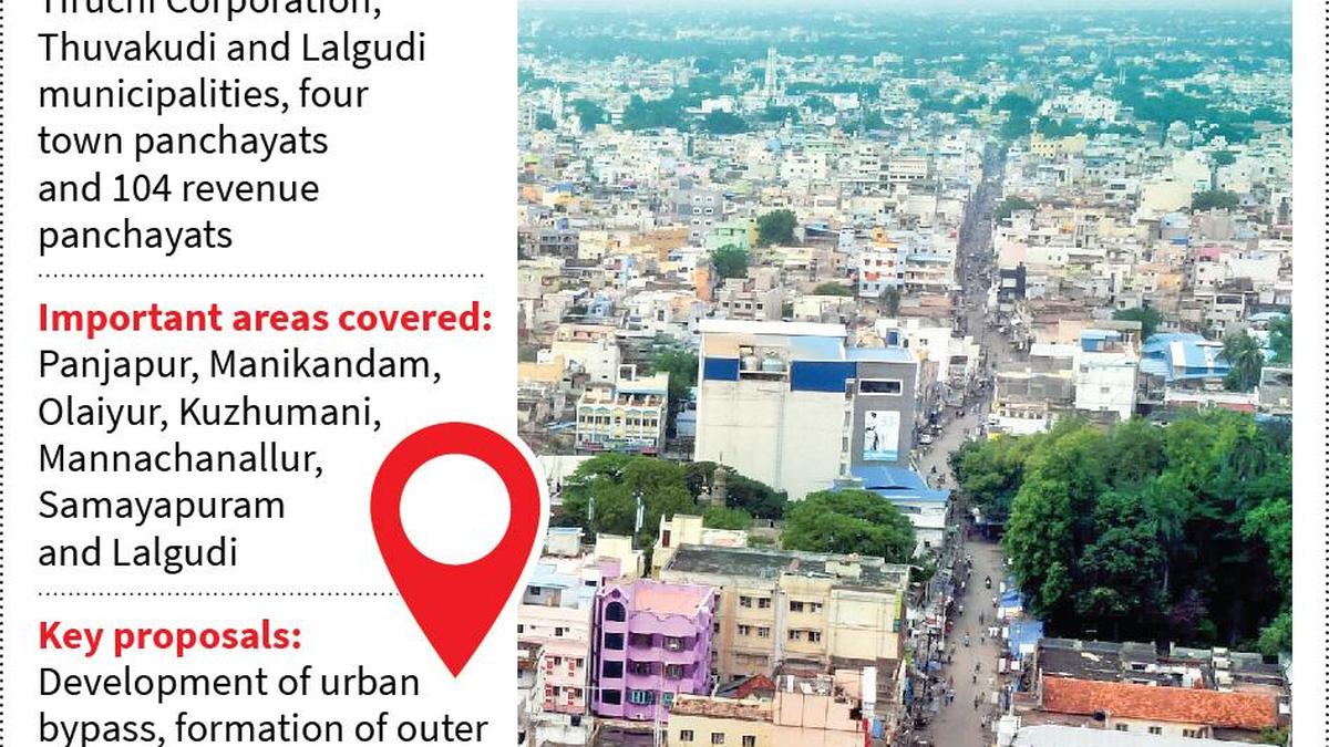
As per the final plan, which was released by Chief Minister M.K. Stalin in Chennai on Wednesday, the boundaries of the existing Tiruchi Corporation, Lalgudi, and Thuvakudi municipalities, four town panchayats, and 104 revenue villages have been included in it. The urban radial of the plan extends up to Manachanallur in the north, Lalgudi, and Thuvakudi in the northeast, Kuzhumani in the west, and Pudukottai district boundary, Manikandam and Olaiyur in the south. However, the Directorate of Town and Country Planning (DTCP) that prepared the plan chose to exclude Manapparai and Thuraiyur municipalities as they were situated far away from the radials of Tiruchi.
The extended planning area of the Master Plan represents 18.27% of Tiruchi district, and encompasses a population of 14.32 lakh, accounting for over 52.6% of the district’s total population. It was developed through multiple stakeholder consultations involving nearly 40 government departments, non-governmental organisations, and institutions.