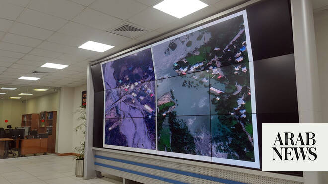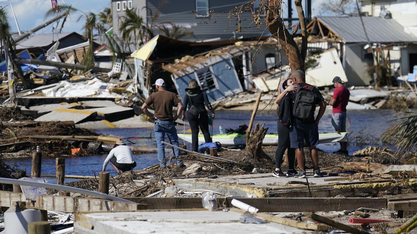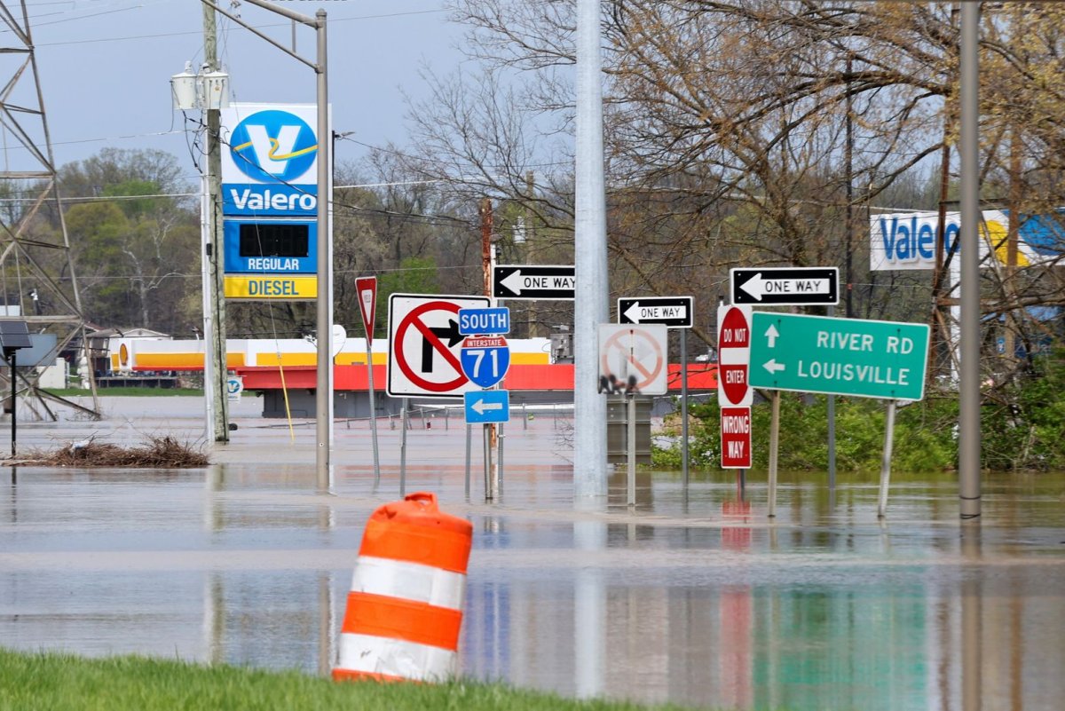
Sept. 3 (UPI) -- The National Weather Service announced Wednesday it has expanded its real-time flood mapping tool to cover about 60% of the U.S. population, double its coverage from a year ago.
The agency introduced its experimental Flood Inundation Mapping tool in 2023, at the time covering 10% of the U.S. population in areas including Louisiana, New York, Pennsylvania and Texas. The tool gives weather forecasters a real-time, street-level look at flood waters, allowing them to gather data for potential flood watches and warnings. The FIM also includes a five-day inundation forecast and streamflow prediction.
Areas from the Mid-Atlantic, eastern Great Lakes, Lower Mississippi Valley, central Gulf Coast, the Pacific Northwest, Puerto Rico and the U.S. Virgin Islands were added in 2024, increasing coverage to 30%.
New coverage includes Hawaii, the West Coast, part of south central Alaska, the Southwest, the Great Plains, the Great Lakes and interior Southeast.
Related