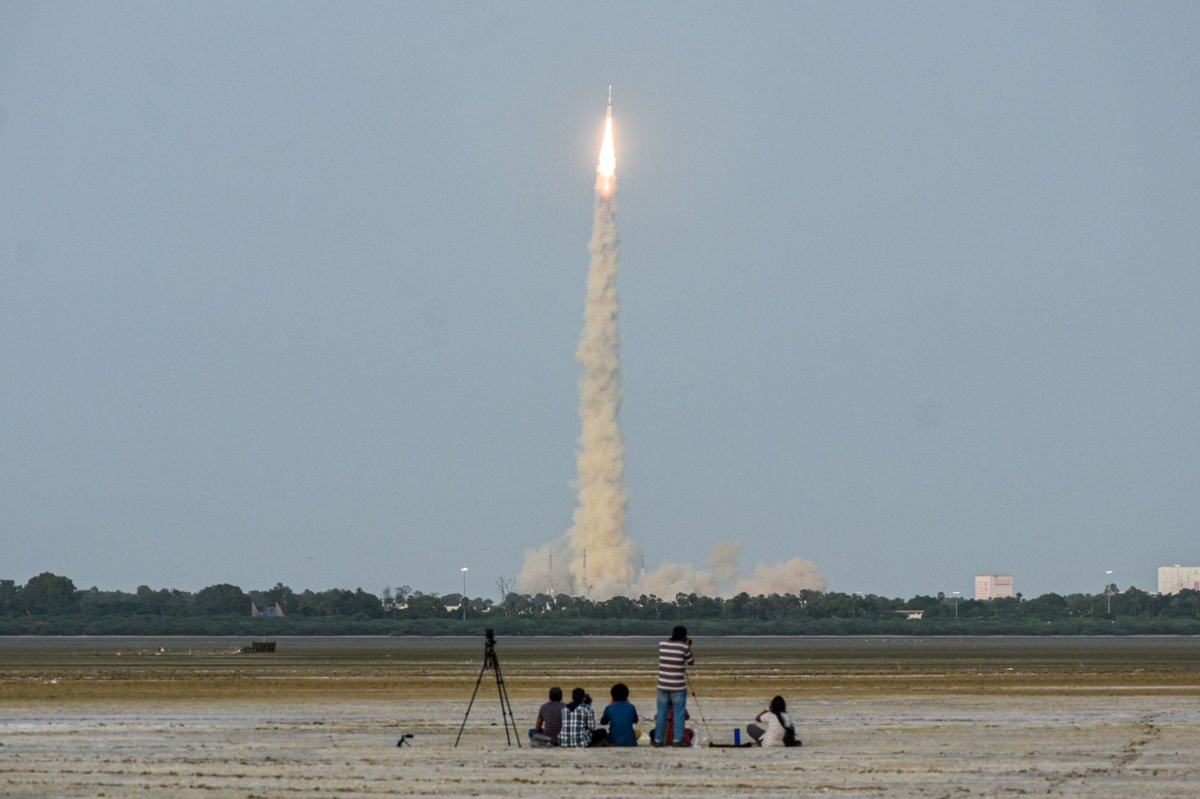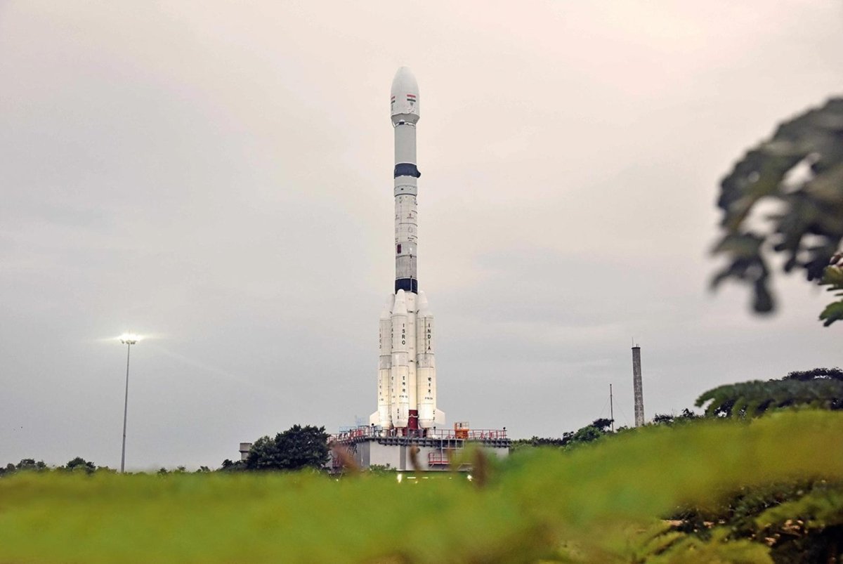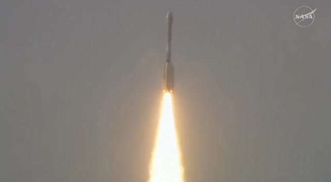
FLORIDA: NASA and India paired up to launch an Earth-mapping satellite on Wednesday capable of tracking even the slightest shifts in land and ice.
The $1.3 billion mission will help forecasters and first responders stay one step ahead of floods, landslides, volcanic eruptions and other disasters, according to scientists.
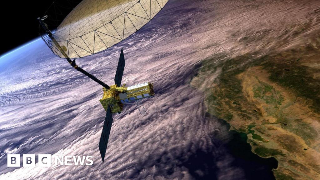
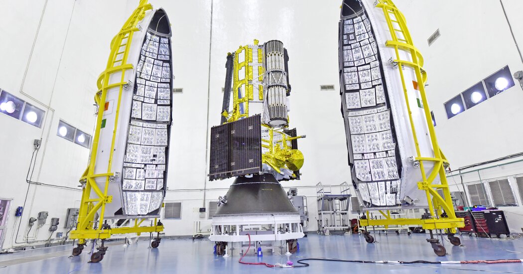
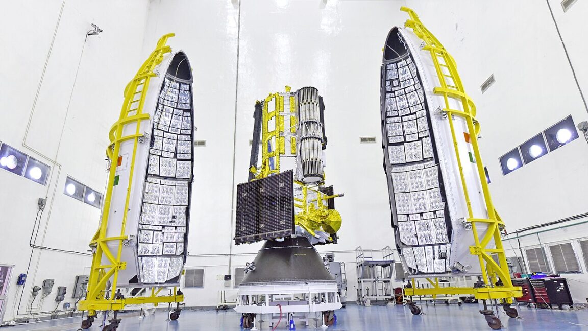
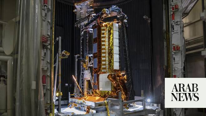
Rocketing to orbit from India, the satellite will survey virtually all of Earth’s terrain multiple times. Its two radars — one from the US and the other from India — will operate day and night, peering through clouds, rain and foliage to collect troves of data in extraordinary detail.
Microwave signals beamed down to Earth from the dual radars will bounce back up to the satellite’s super-sized antenna reflector perched at the end of a boom like a beach umbrella. Scientists will compare the incoming and outgoing signals as the spacecraft passes over the same locations twice every 12 days, teasing out changes as small as a fraction of an inch (1 centimeter).
It’s “a first-of-its-kind, jewel radar satellite that will change the way we study our home planet and better predict a natural disaster before it strikes,” NASA’s science mission chief Nicky Fox said ahead of liftoff.