HomeAI · summaries
Storia in 4 fonti
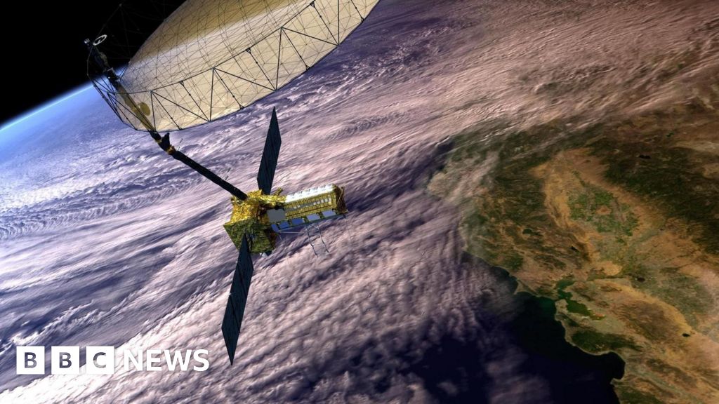
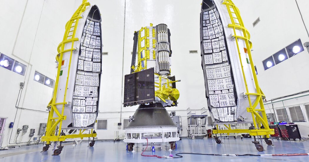
Radar satellite launched by India and NASA will track minuscule changes to Earth’s land and ice
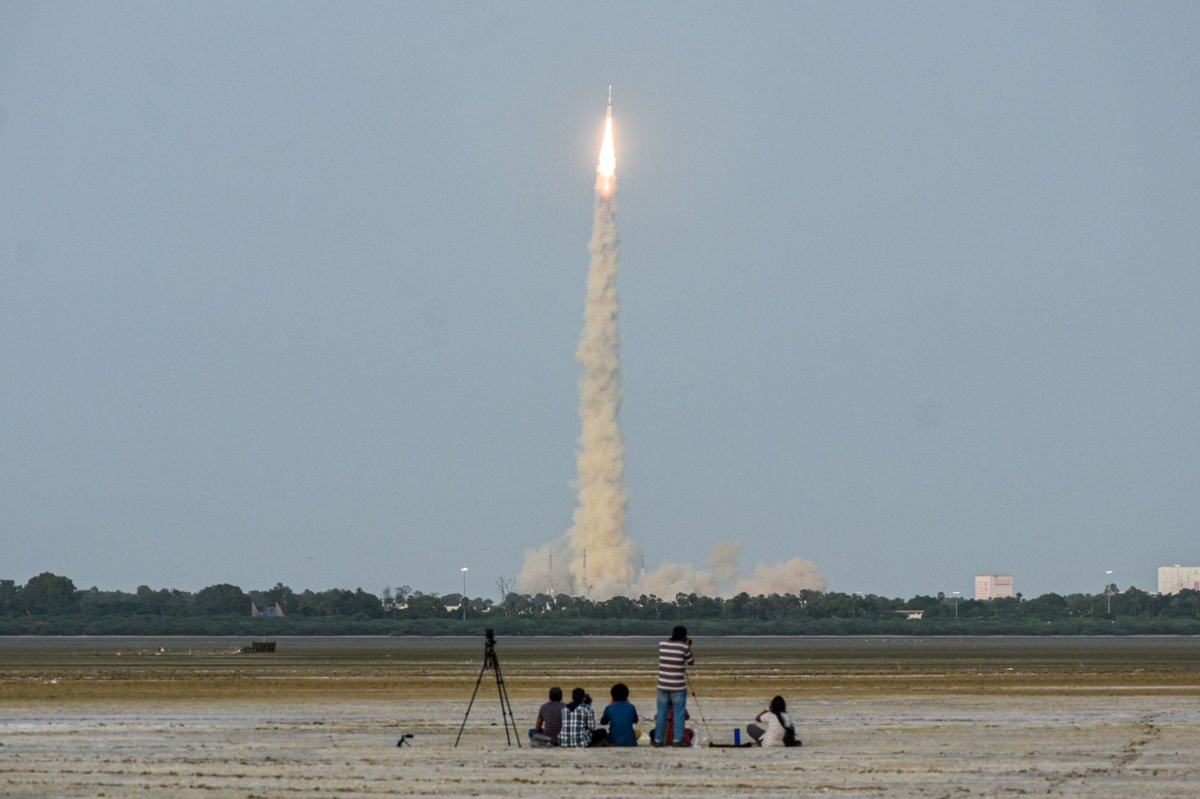
FLORIDA: NASA and India paired up to launch an Earth-mapping satellite on Wednesday capable of tracking even the slightest shifts in land and ice. The $1.3 billion mission will help forecasters and first responders stay one step ahead of floods, landslides, volcanic eruptions and other disasters, according to scientists. Rocketing to orbit from India, the satellite will survey virtually all of Earth’s terrain multiple times.
Confronto fonti
4 prospettive sulla stessa storiaTimeline cronologica
- ·
upi.com
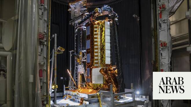
Satellite developed by NASA, India to map Earth down to centimeter - UPI.com
NASA and India plan to deploy a satellite that will map the Earth down to a centimeter after a launch on Wednesday from the Asian nation's southeastern coast.
- ·
nytimes.com
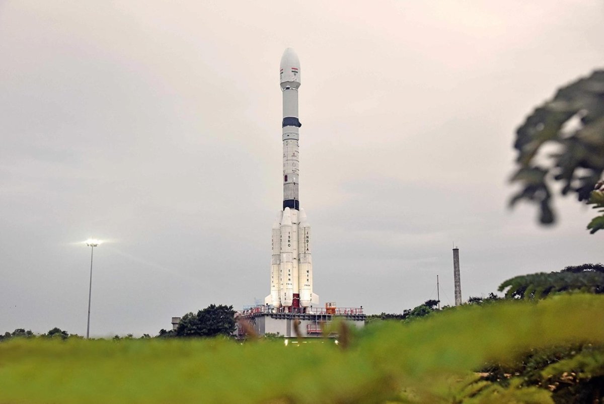
NISAR — a NASA-India Collaboration — Will Study Earth With Radar. Here’s How to Watch the Launch.
A new Earth-observing satellite, built by NASA and India’s space agency, will be sent into orbit on Wednesday.