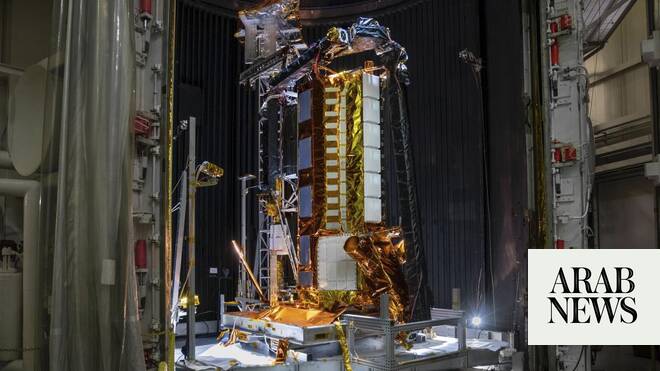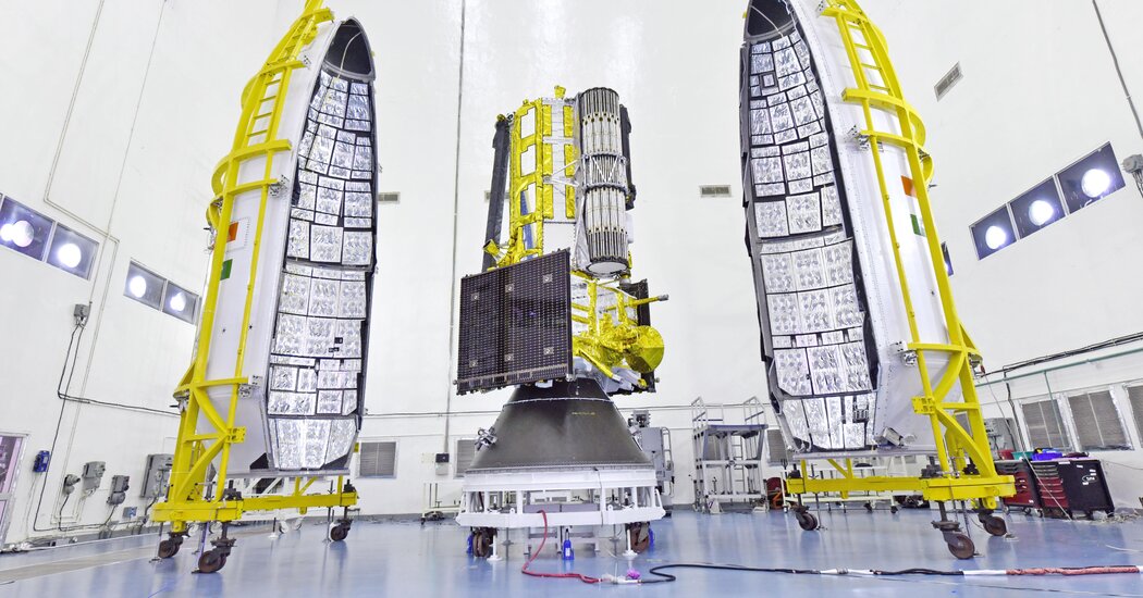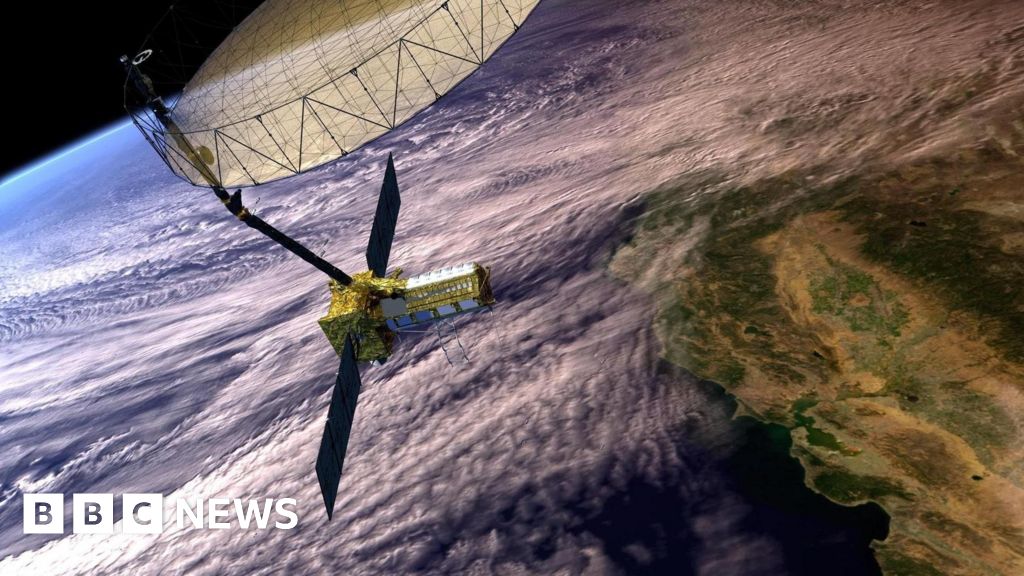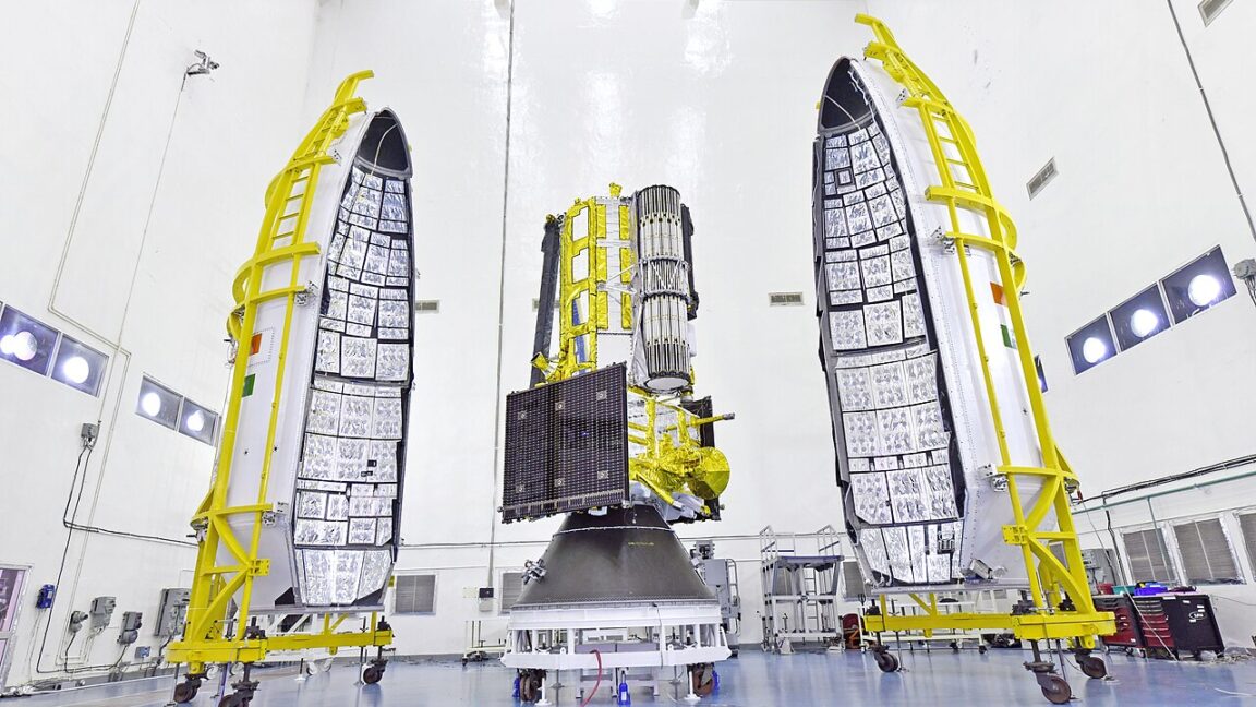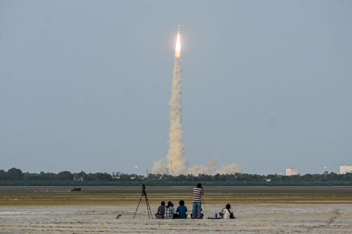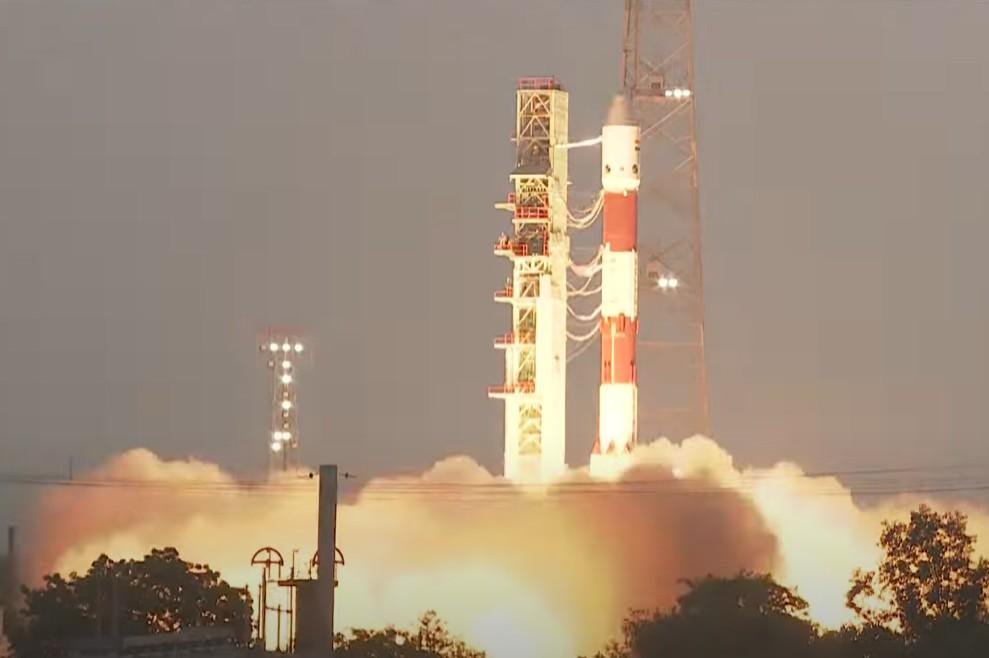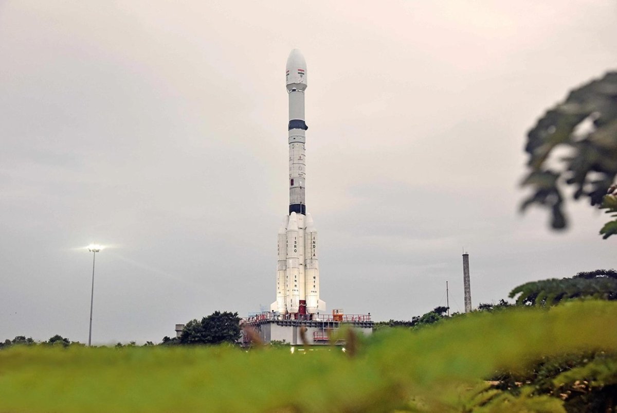
July 28 (UPI) -- NASA and India plan to deploy a satellite that will map the Earth down to a centimeter after a launch on Wednesday from the Asian nation's southeastern coast.
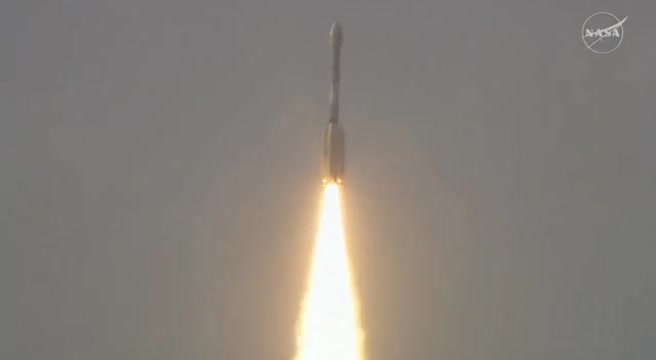
The rocket launch by the Indian Space Research Organization is scheduled from the Satish Dhawan Space Center on an island at 5:40 p.m. local time, NASA said in a news release Monday.
The launch broadcast will begin at 7 a.m. EDT on Wednesday from NASA's Jet Propulsion Laboratory in Southern California on the YouTube channel.
The satellite, about the length of a pickup truck, will circle Earth 14 times each day, scanning virtually all the planet's land and ice surfaces twice every 12 days.
Related