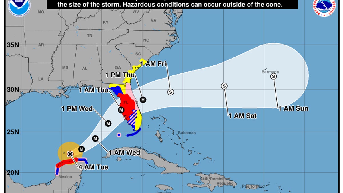
After a two-year experimental run, an updated track forecast cone graphic moves into a starring role with the National Hurricane Center this summer.
The new graphic, to debut when the first tropical storm forms, is one of several changes the hurricane center is making for the Atlantic season that starts June 1. Members of the hurricane center's staff sat down with USA TODAY at the National Hurricane Conference in Orlando to talk about the changes.
The goal is to continue improving communications about hazards and risk with the public and emergency managers, said Michael Brennan, director of the hurricane center.
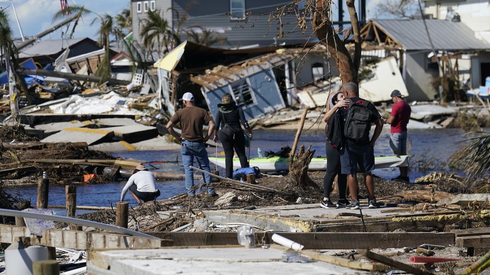
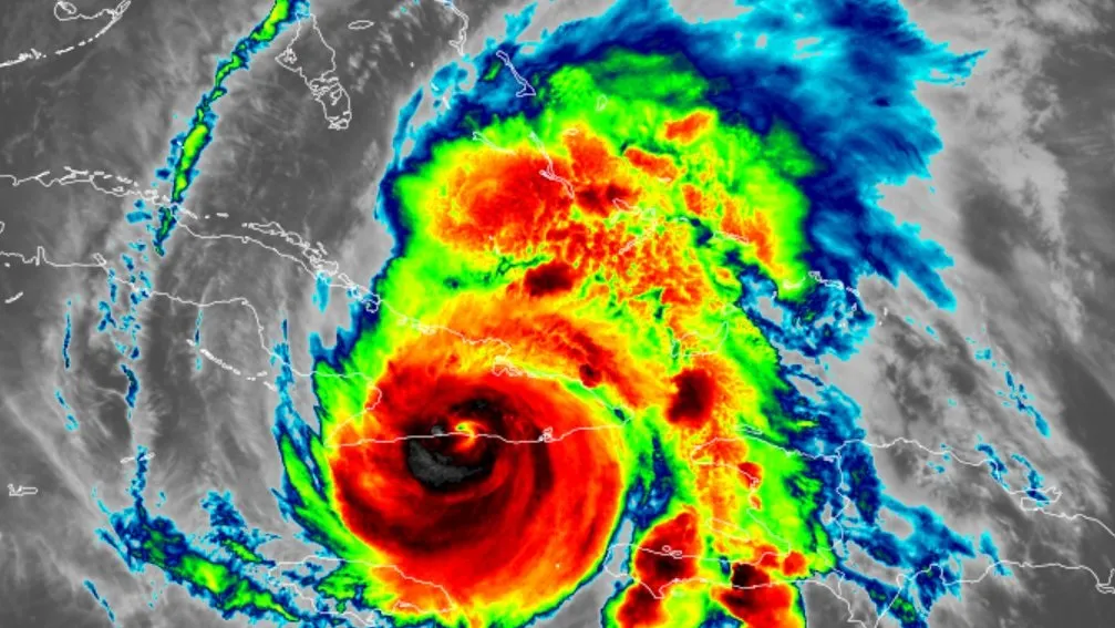
The widely recognized five-day track graphic – often called the "cone of uncertainty" – had been used since 2002. But it was often misunderstood.
It showed only the likely path of the center of the storm and markings along coastlines where tropical storm and hurricane watches and warnings were in effect. It did not show the full range of high winds, rain and other impacts, including inland areas under watches and warnings. Revisions to the cone have been the subject of great debate and deliberation among the hurricane science community.