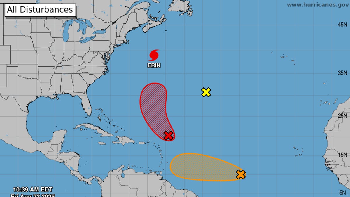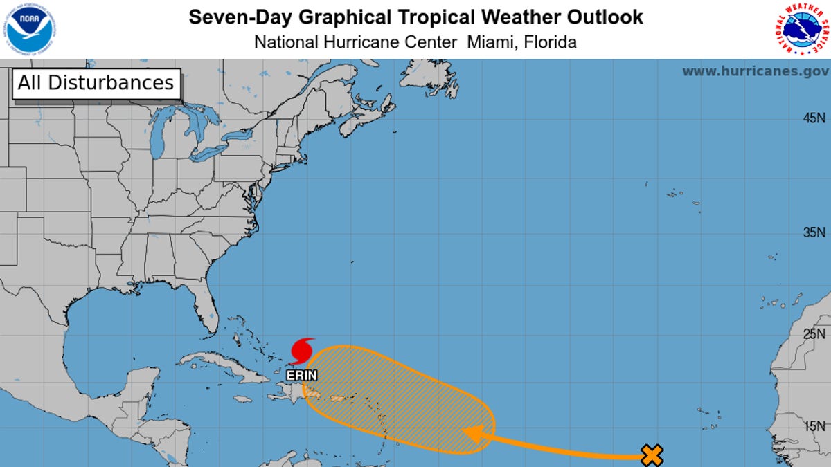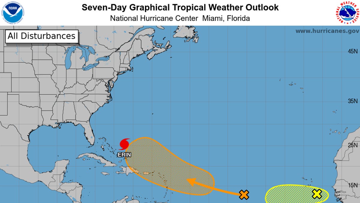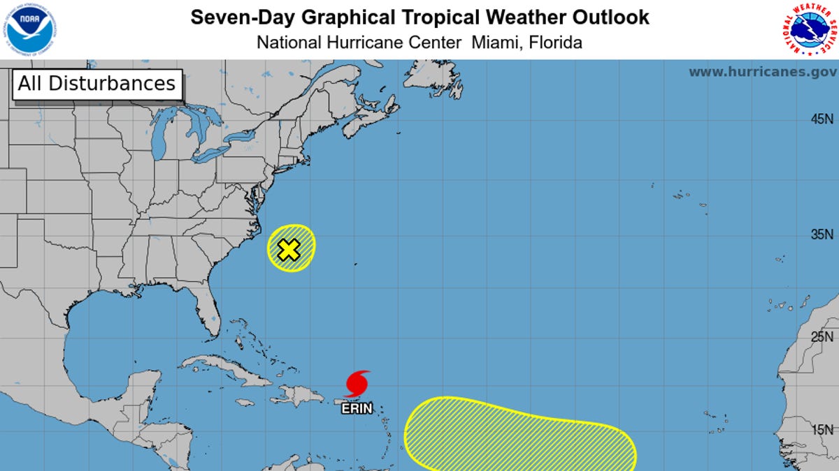
Hurricane forecasters have turned their attention from Erin to other developing tropical systems in the Atlantic, including one that could become Tropical Storm Fernand and may follow a path similar to Erin's.
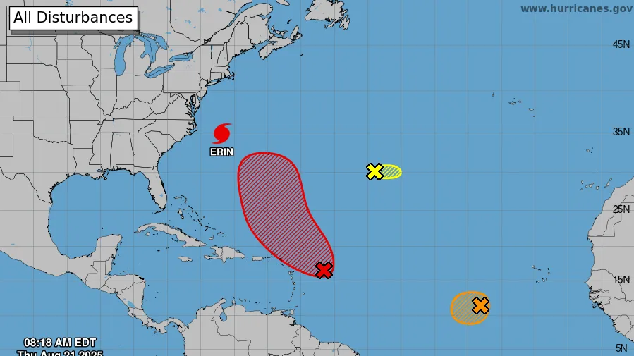
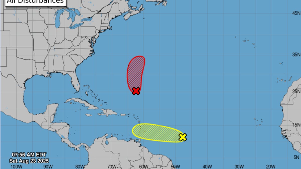
The National Hurricane Center is tracking two disturbances, Invest AL90 and Invest AL99 − so-called as "invest" is short for "investigation" − in the Atlantic, with the chance of developing into something stronger. The more likely to do so is Invest AL90, which is expected to develop into a tropical depression and intensify into a tropical storm on Sunday, Aug. 24, as it moves northward, the NHC said in an outlook issued at 8 a.m. ET Saturday, Aug. 23.
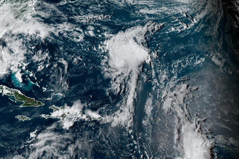
Also being tracked: four more tropical waves in the Caribbean to the east of Invest AL99, which is also a tropical wave located about 850 miles east of the Windward Islands.
Forecasters have warned those in Bermuda to monitor the progress of Invest AL90, which is associated with showers and thunderstorms, as it is currently about 500 miles south-southwest of Bermuda, the NHC said. The system has a near 100% chance of formation over the next 48 hours, the NHC said.
The storm could follow a path similar to that of Hurricane Erin, but is expected to turn northward much sooner, which means it could come close to, or directly hit, Bermuda as a hurricane, according to AccuWeather. “This storm is expected to produce several inches of rain, wind gusts of 60-80 mph, rough seas and surf and storm surge of several feet,” AccuWeather lead hurricane expert Alex DaSilva said in a forecast.