Britain faces a 'big change to more unsettled weather' next week as the remnants of Hurricane Erin are set to bring wet and windy conditions at the end of summer.
Meteorologists are monitoring how the system could strengthen the jet stream and impact UK weather after the bank holiday weekend as it sweeps across the Atlantic.
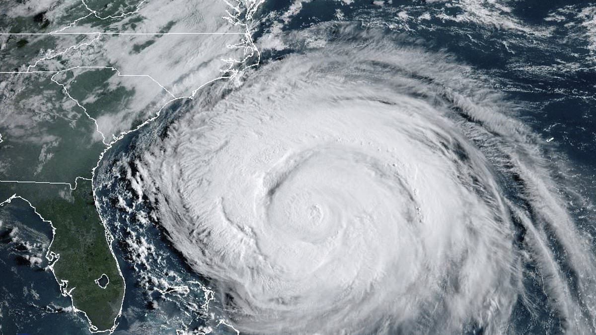
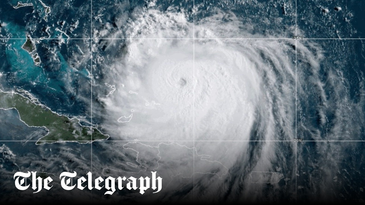
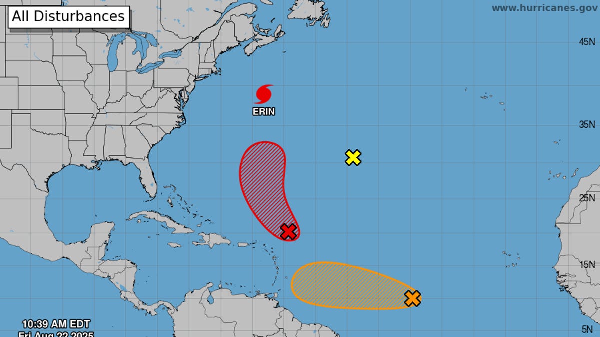
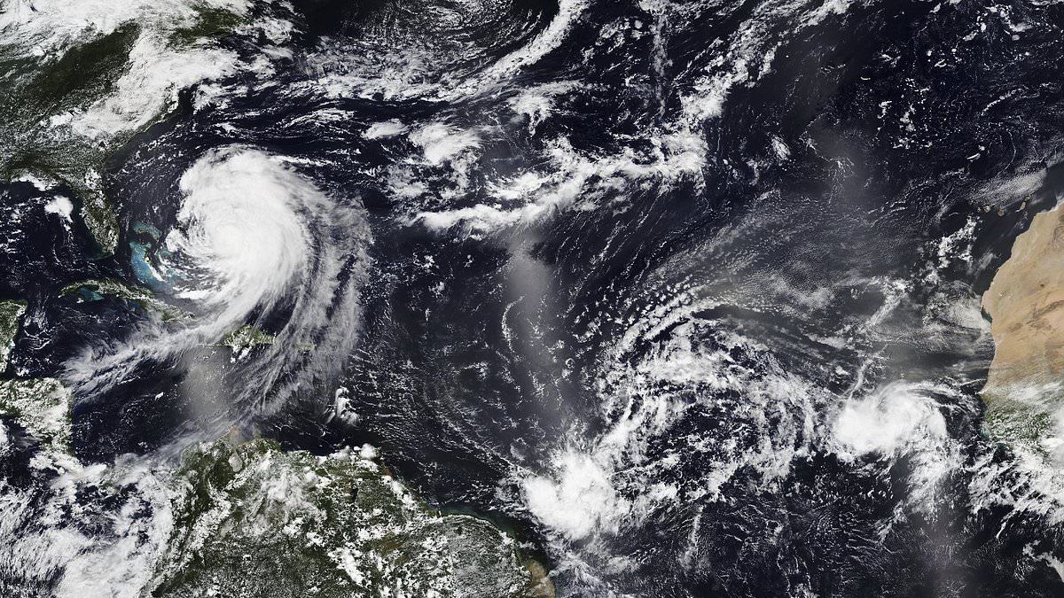
The Met Office said Erin underwent a 'remarkable and very fast transition' from a tropical storm to a 160mph Category 5 'monster' in 24 hours last weekend.
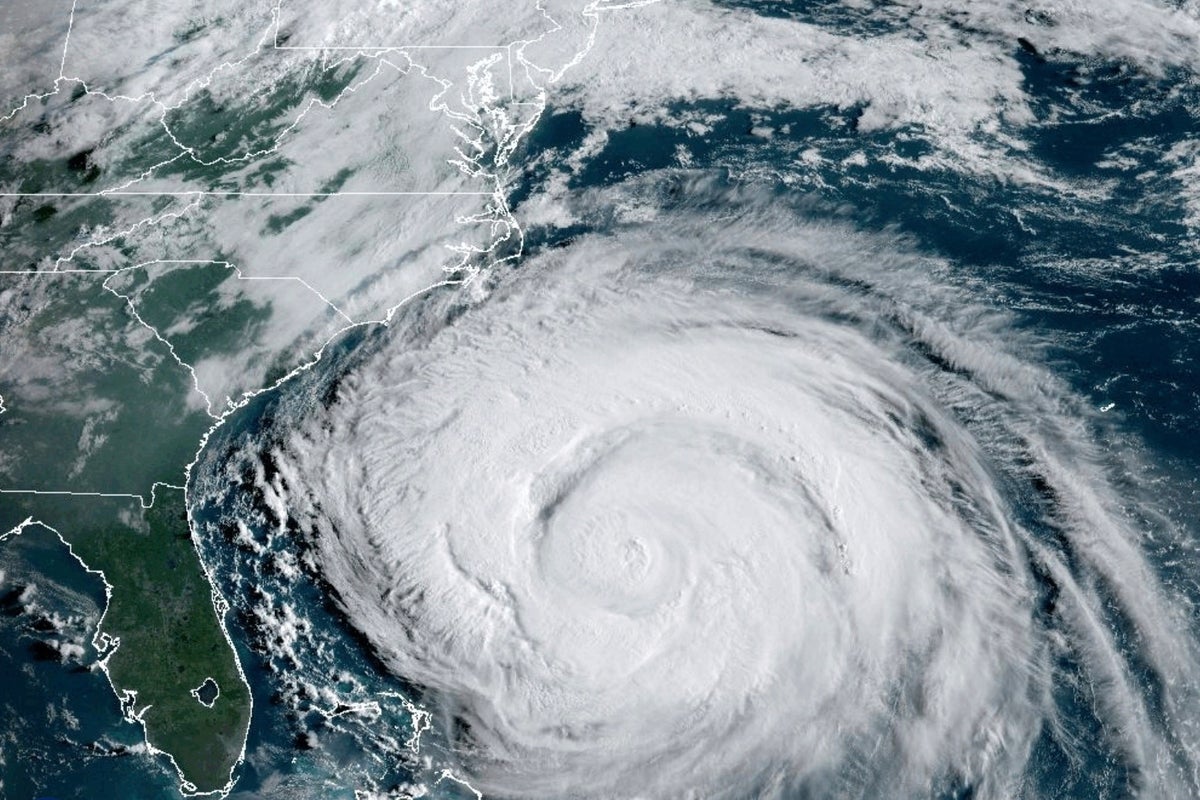
This morning it was a Category 2 hurricane with maximum sustained winds of about 100mph, located about 500 miles off the Outer Banks islands of North Carolina.
The system is forecast to remain out in the ocean, before the remnants could be seen in Britain by late Sunday or early Monday - bringing big waves to coastal areas.