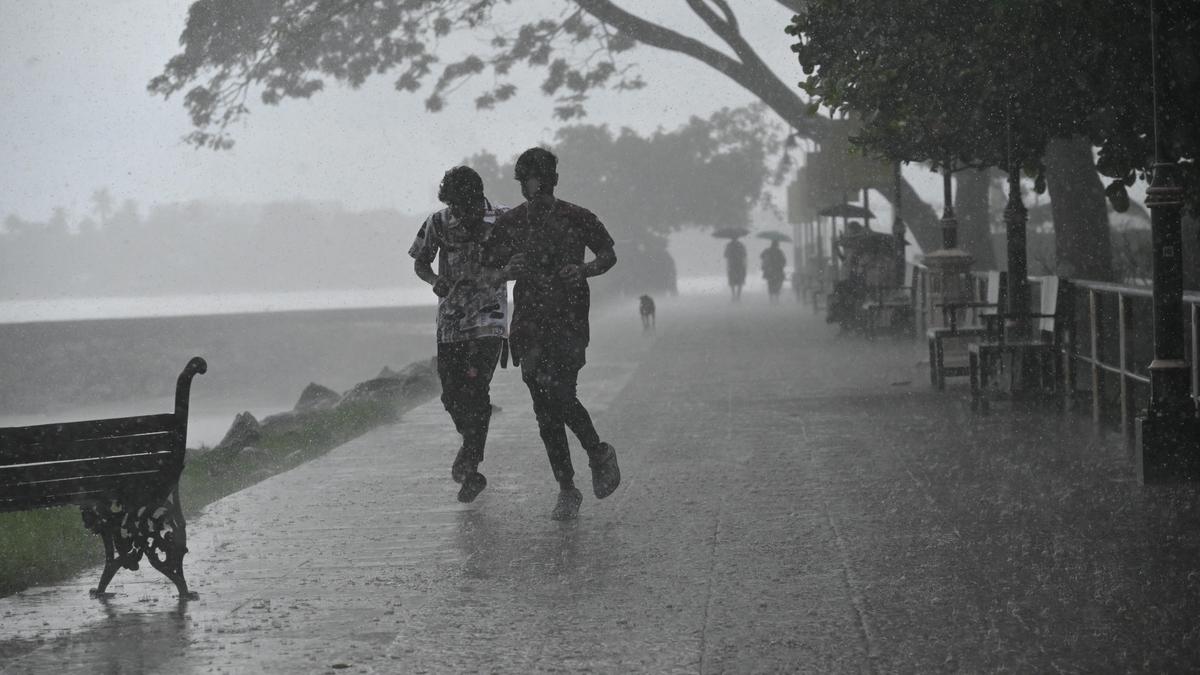
This week marks the seventh anniversary of the mega flood that claimed close to 500 lives in the State. Although rainfall this August has been subdued so far, a cursory glance through the 123-year rain data of the Indian Meteorology Department (IMD) in Kerala reveals that many spots in Kerala are vulnerable to disasters in August, given the rainfall pattern in terrains across the State.
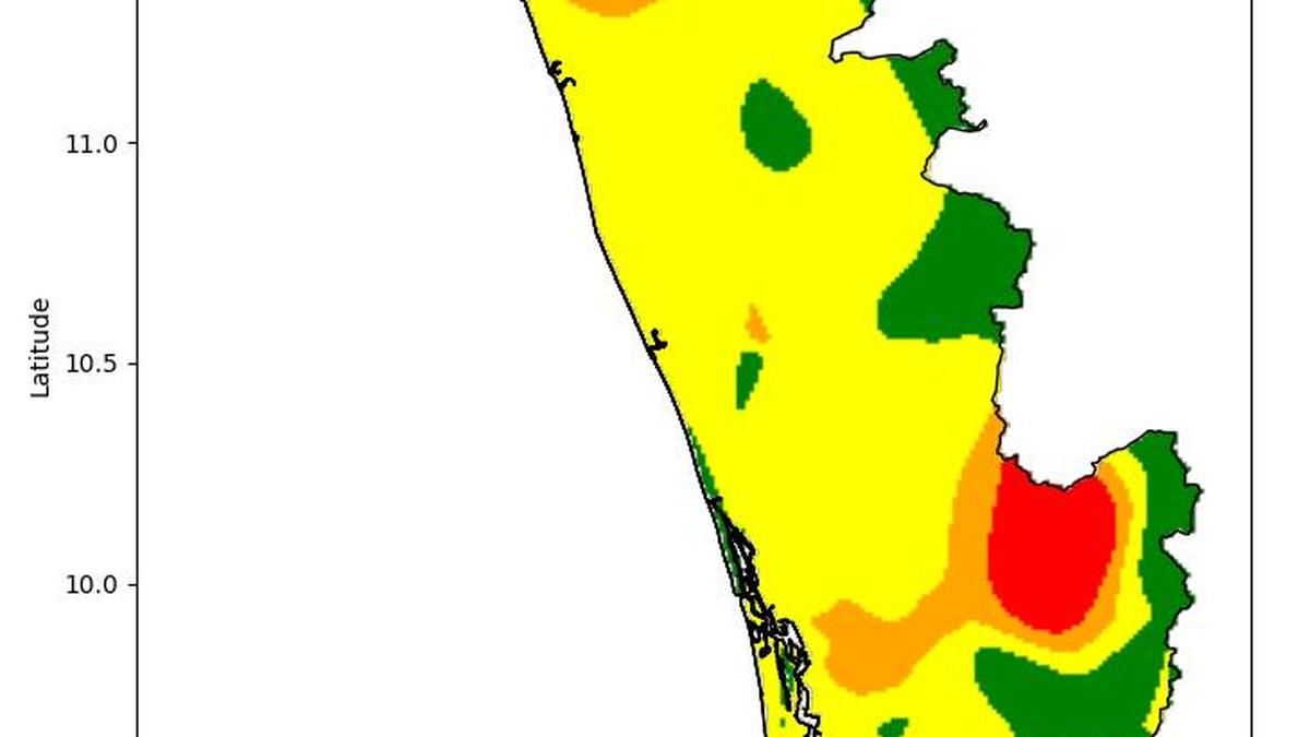
A map drawn by P.S. Biju, senior scientist with the IMD, Thiruvananthapuram, using machine learning and GIS techniques and rainfall data collected from 110 weather stations in Kerala for the period between 1901 and 2023, shows that many locations in the State, especially parts of north Kerala, Idukki and Pathanamthitta, are vulnerable to disasters in August given the distribution of heavy rainfall.
What the colours indicate
In the map annexed with the story, the spots marked ‘red’ witnessed a minimum of three heavy rainfall events in August, and two intense rainfall events were recorded in areas marked in orange. The areas marked in yellow witnessed at least one such heavy rainfall event, while green denotes that for many years those areas have not witnessed any such events in August, said Mr. Biju.
Though August has emerged as a dreadful month for Keralites who witnessed the 2018 and 2019 floods, the month receives relatively less rainfall compared to June and July, the two wettest southwest monsoon months in Kerala. In 2018, Kerala had received good pre-monsoon showers in May. This was followed by above-normal rainfall of 751.5 mm in June and excess precipitation of 857.8 mm in July. By this time, the cumulative excess precipitation in three months had saturated the soil and waterbodies.