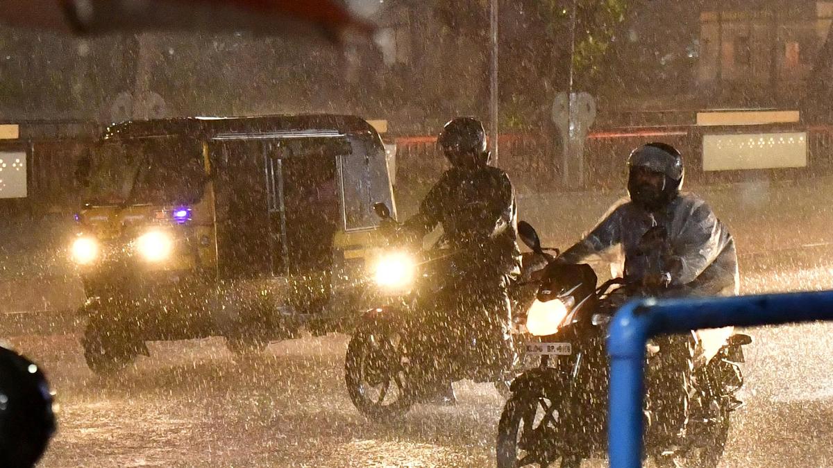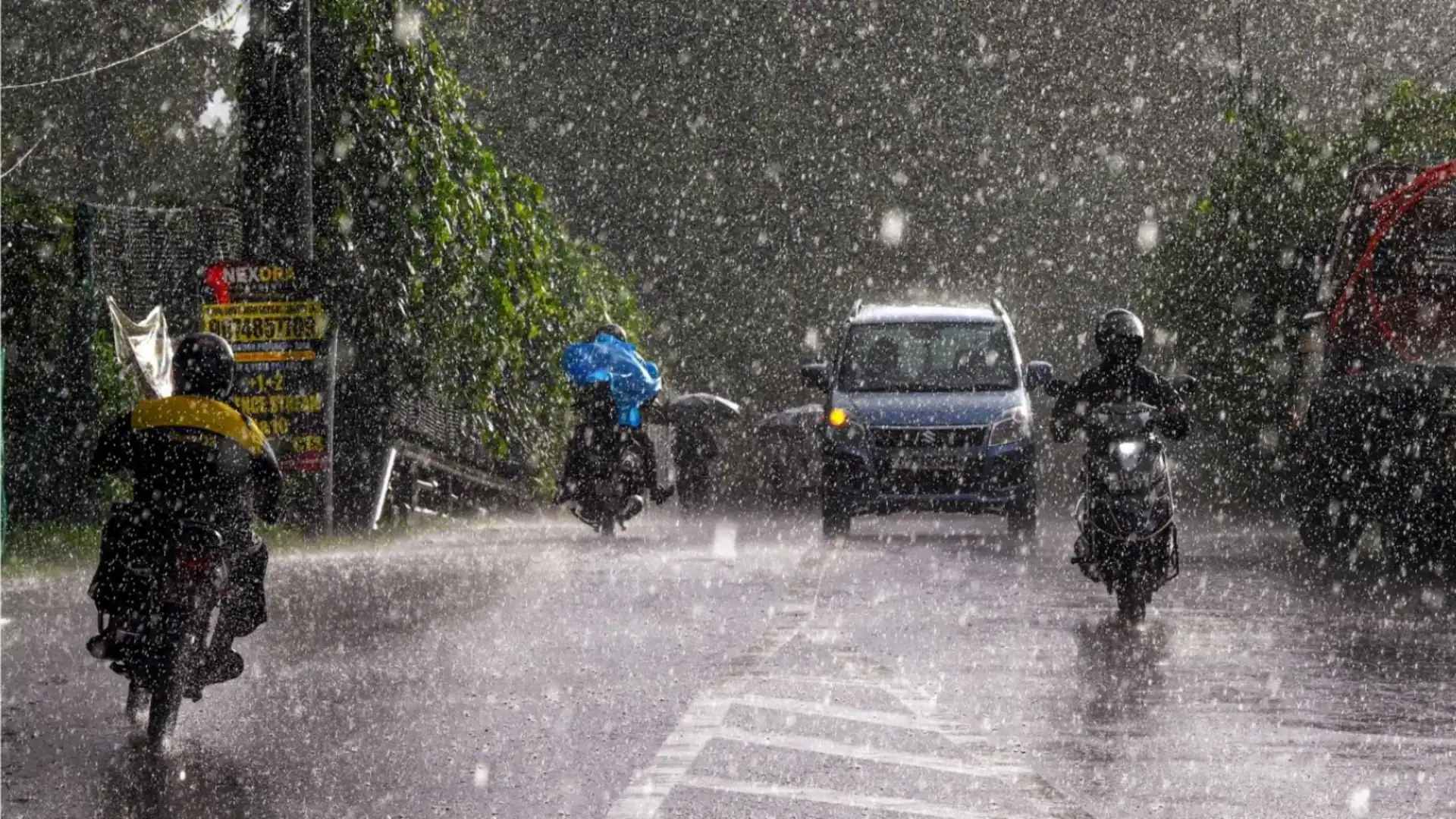
Heavy rain has been lashing parts of Kerala, triggered by the cyclonic circulation over the southwest Bay of Bengal. Piravom in Ernakulam experienced extreme heavy rainfall during the last 24 hours ending at 8.30 a.m. on Tuesday, followed by Peechi in Thrissur (13 cm), Choondy in Ernakulam (8 cm), Minicoy and Agathi, both in Lakshadweep, Kottayam, Vellanikkara in Thrissur and Vadavathur in Kottayam with 7 cm each.
The heavy rainfall is likely to continue for one more day under the influence of the upper air cyclonic circulation that lies over the southwest Bay of Bengal off the north Tamil Nadu coast. An east-west trough also runs from southern parts of the east-central Arabian Sea to southern parts of the central Bay of Bengal across southern interior Karnataka and Tamil Nadu. This is likely to enhance the speed of westerlies and northwesterlies prevailing over Kerala.
Kerala rains: Cab using navigation app falls into canal; heavy rain leaves many areas in Kochi inundated
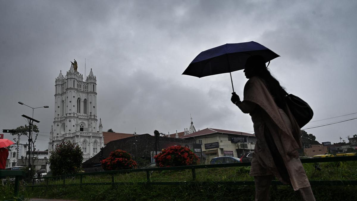
The India Meteorological Department (IMD) issued a red alert for Idukki, Ernakulam, Thrissur, and Malappuram on Tuesday (August 5), where extreme heavy rainfall is likely during the next 24 hours, while an orange alert has been issued for the rest of the State except for Thiruvananthapuram and Kollam, where very heavy rainfall is likely.