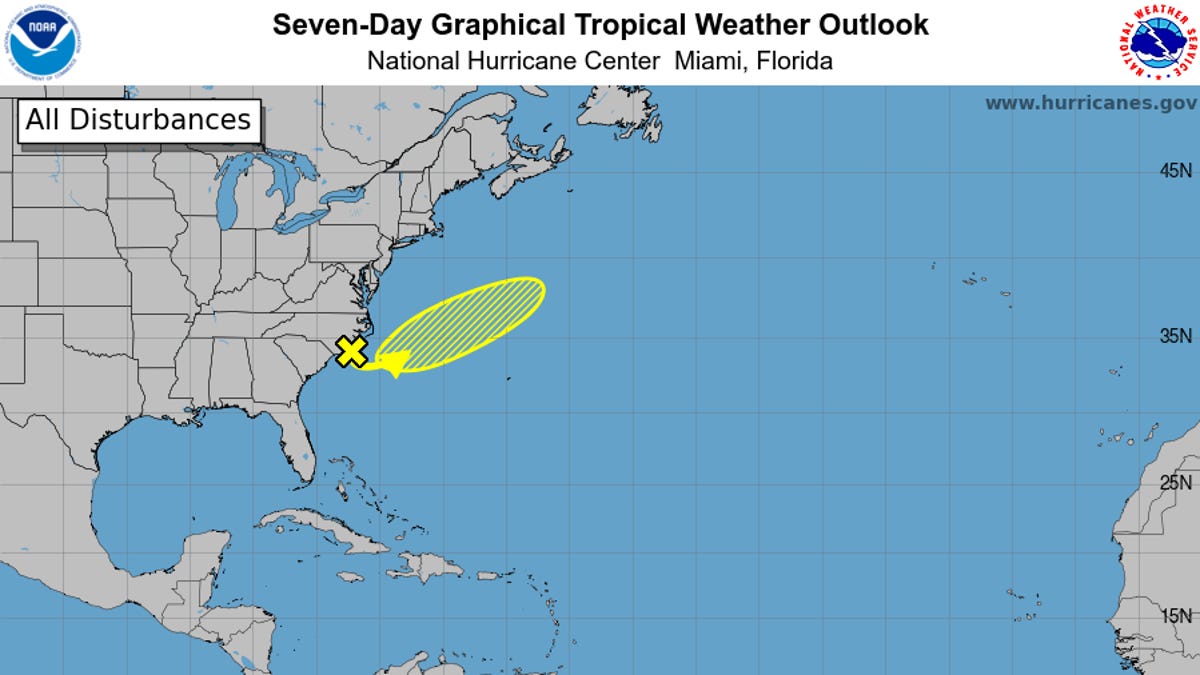
Storm watchers are keeping an eye on two disturbances off the East Coast as hurricane season kicks into gear.
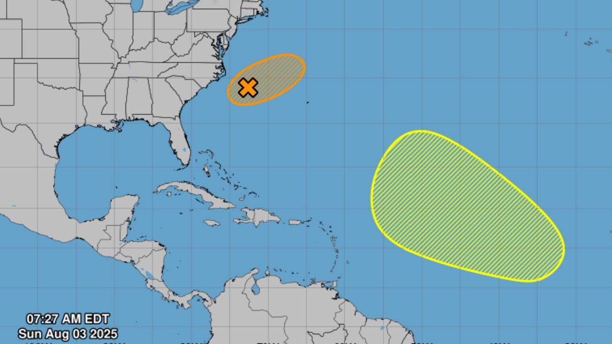
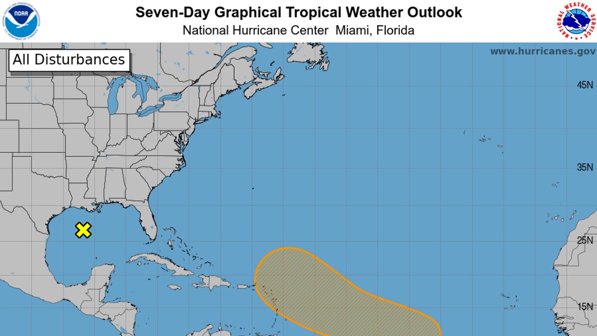
The most notable of the storms is an area of low pressure dubbed AL95, which formed along a frontal boundary about 150 miles off the coast of North Carolina Aug. 2.
"While satellite wind data show that the low is now producing gale-force winds, the system remainsattached to a frontal boundary," the National Hurricane Center wrote in its 2 p.m. ET advisory on Aug. 3. "Environmental conditions are conducive for this system to acquire additional tropical characteristics, and a tropical storm is likely to form by Monday well east of the North Carolina coast."
The center gives the storm a 70% chance of forming a cyclone over 48 hours. Sphagetti models from USA TODAY's storm tracker suggest that the most likely path for the storm is east, away from U.S. shores.
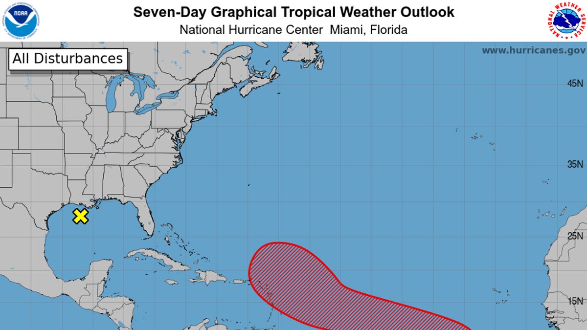
The center also noted a second disturbance off of the coast of the Carolinas.