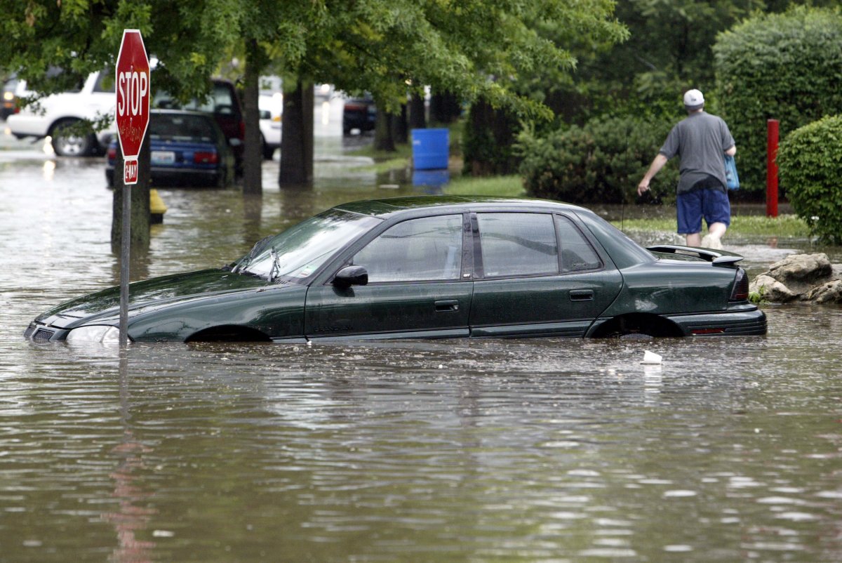
People may feel like they're moving quickly from the frying pan to a swimming pool in parts of New Jersey, New York and Pennsylvania this week as sweltering temperatures in the mid-to-high 90s give way to a deluge of torrential rain and potential flash flooding.
Daily record high temperatures were set at LaGuardia Airport (99 degrees) and Atlantic City, New Jersey (97) on July 30, while heat indices – what the heat feels like – reached triple digits in some areas, the National Weather Service said. But as the heat lingered into the evening, the service began posting flood watches.
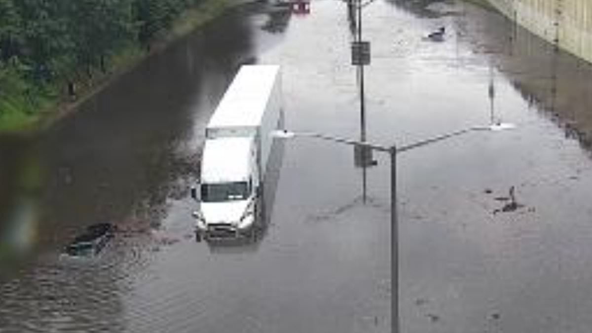
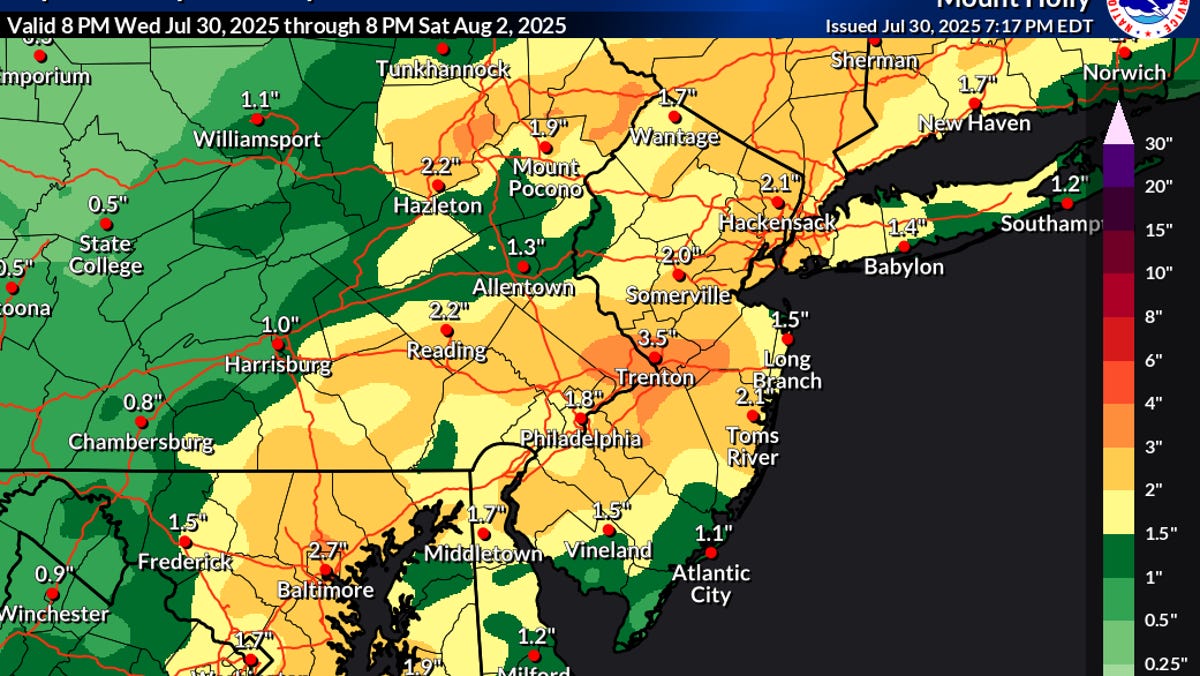
By the afternoon of July 31, more than 50 million people in the region are forecast to be under a flood watch. State and local officials warned the region's residents to prepare in advance for potential flooding, with as much as 3 inches of rain expected, and even higher amounts possible in isolated locations.
Parts of central and western New Jersey could see more than 4 inches of rain in a short period of time, with rain falling at rates greater than two inches an hour, which could lead to flash flooding, the weather service said.
"There is increasing confidence for a period of moderate to locally heavy rainfall Thursday afternoon and Thursday night as a frontal boundary remains south of the region and a wave of low pressure travels along the front," stated a July 30 forecast discussion from the weather service.