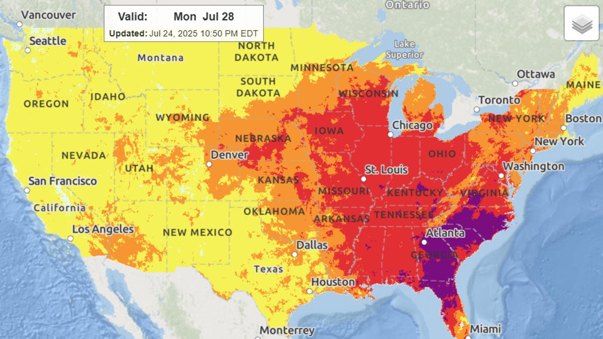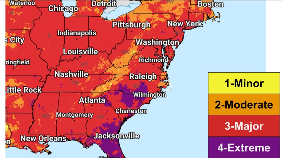
Folks sick of the scorching temperatures in the East will finally see some relief as August begins, forecasters say, but not before a final push of searing heat and potent thunderstorms.
"A big change in the weather pattern will arrive in the Northeast around the same time the calendar flips to August," said AccuWeather meteorologist Elizabeth Danco in an online forecast. Temperatures by the weekend will be 5 to 10 degrees below normal in the East, the National Weather Service said.
However, Danco said that before the shift, "millions will contend with high humidity and potentially flooding downpours."
According to weather service meteorologist Mussie Kebede, the weather pattern will "continue to generate a dangerous and prolonged heat wave across the central and eastern U.S. through the end of the month" and, "daily high temperatures well into the 90s and 100s with little to no overnight relief will be particularly dangerous to those without adequate cooling or hydration."
The heat is also likely to break daily temperature records through the week, especially across Florida on July 29, with highs around 100 degrees. In the Northeast, highs in the mid to upper 90s may tie or break existing temperature records as well. "Numerous warm minimum temperature records are also expected," Kebede said.