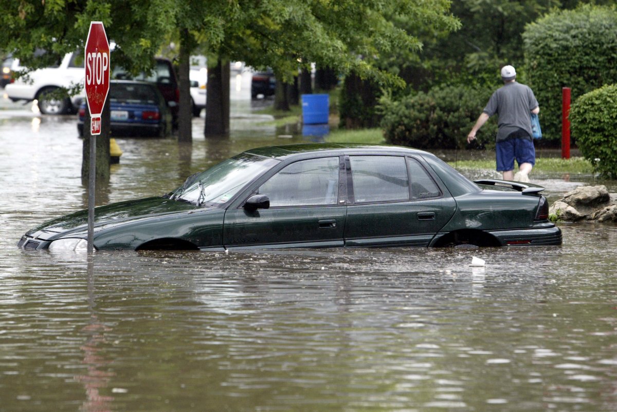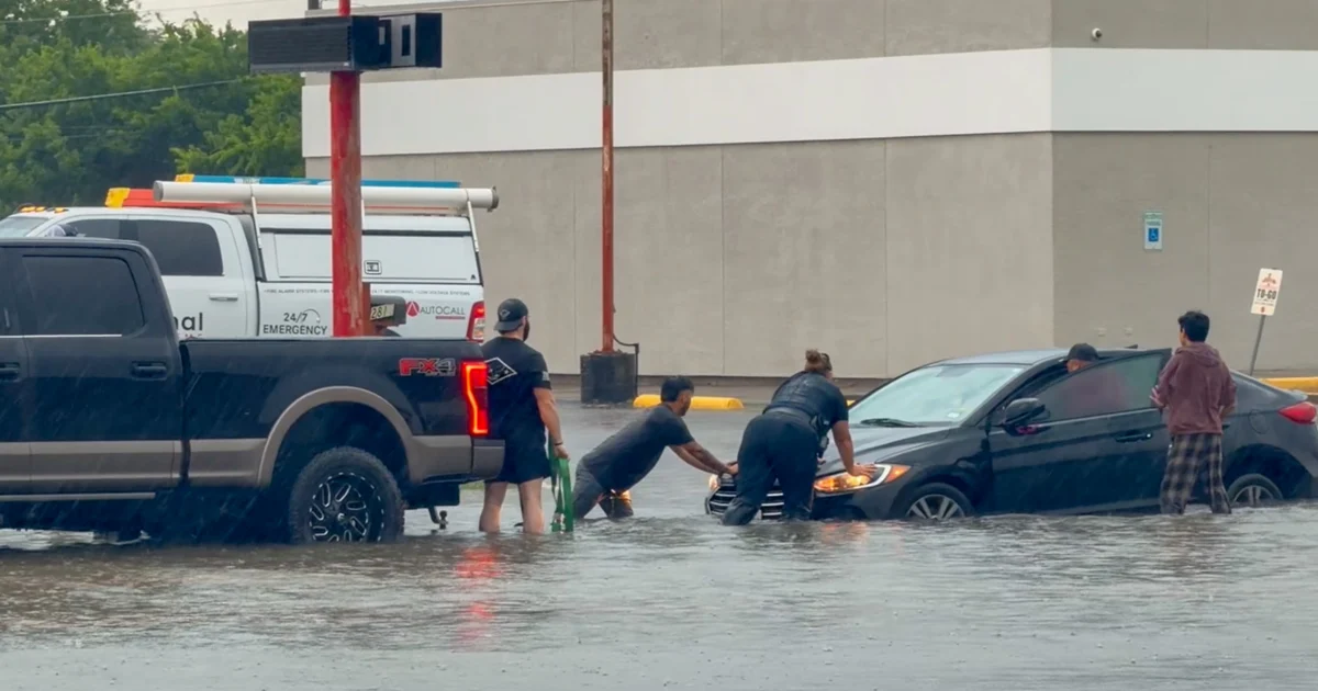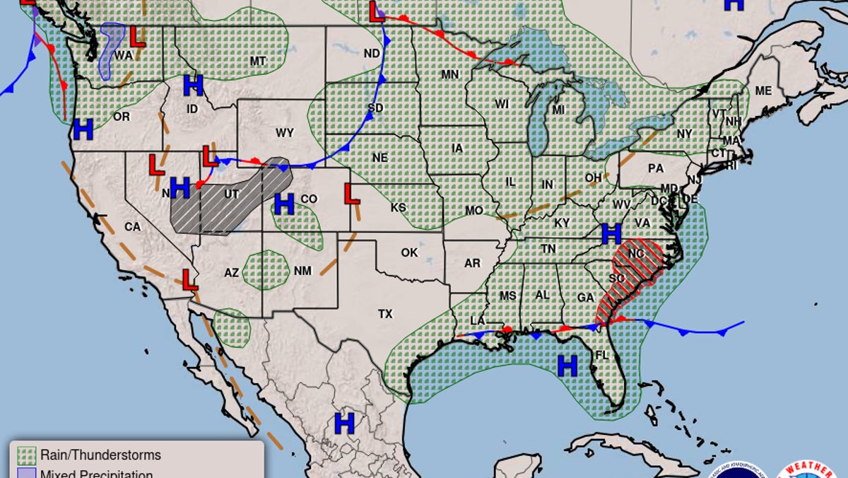
Millions of Americans are at risk of flooding from excessive rainfall and stormy weather over the next few days across parts of the Southeast and Mid-Atlantic, forecasters said.
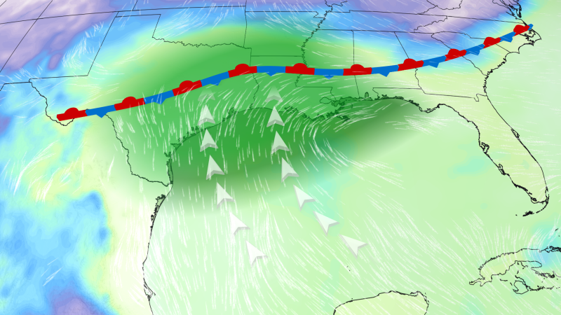
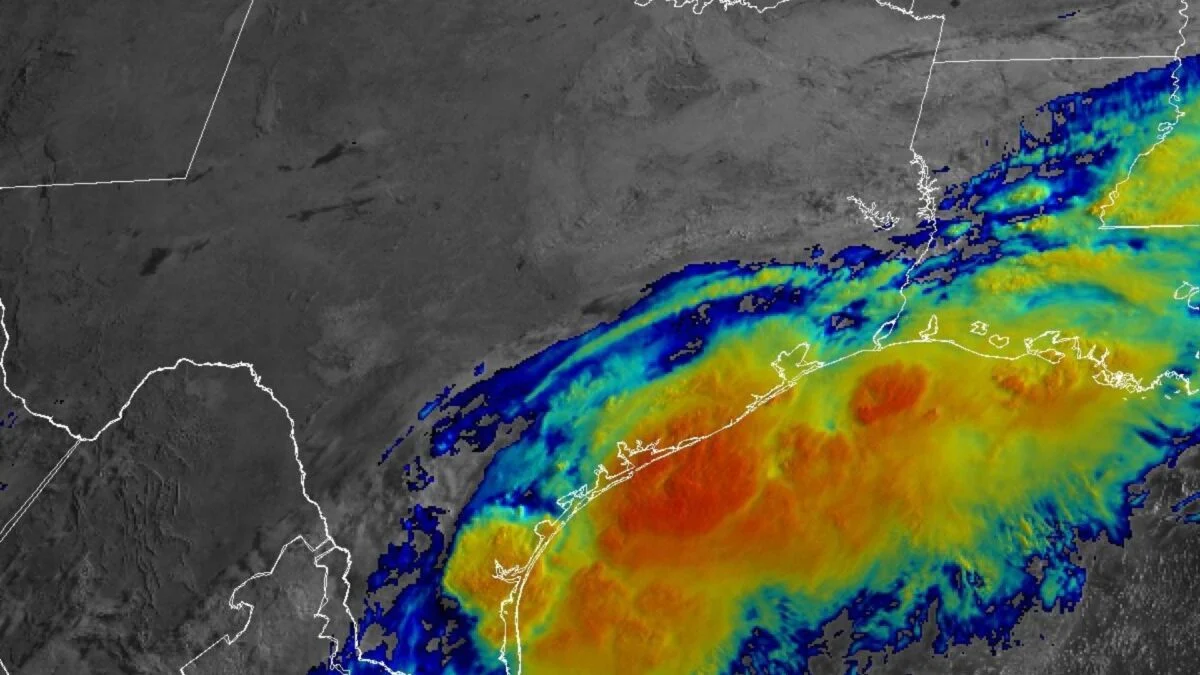
A front lingering in the Gulf Coast will bring thunderstorms and showers to the Southeast and southern Mid-Atlantic states on Aug. 6 and through the end of the week, the National Weather Service said. More than 11 million people were under flood watches across large parts of North Carolina and Georgia the morning of Aug. 6.
Tropical moisture coming from a disturbance several hundred miles off the coast was causing showers and thunderstorms, which could pose an even greater risk to the coastal Southeast if it forms into a cyclone, hurricane forecasters said. As of mid-week, it had a 10% chance of development within 48 hours and a 40% chance within a week.
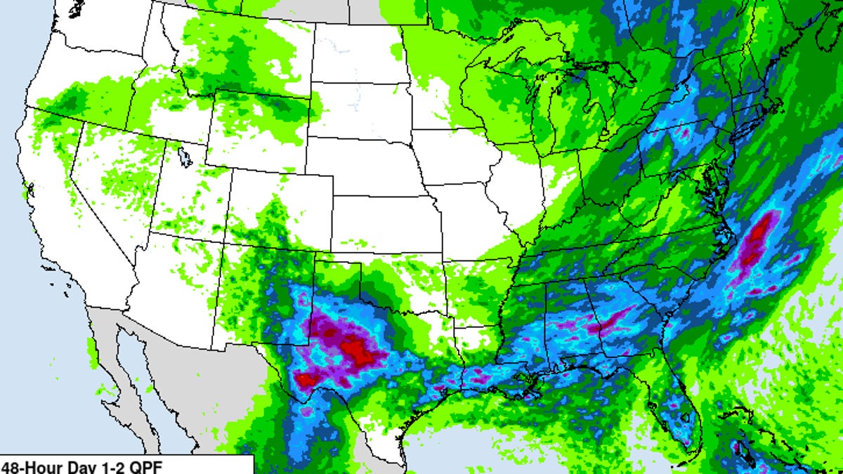
Since Aug. 4, a zone from southwestern Georgia through central North Carolina has already received 2 to 6 inches of rain since the start of the week, according to AccuWeather. An additional 2 to 4 inches could fall Aug. 6, the outlet said, risking flooding from already swollen rivers and streams.
"Persistently heavy rain could severely disrupt transportation and logistics networks. Flooded underpasses, debris-blocked roads and washed-out rural routes are likely, particularly where drainage is poor and rainbands stall," AccuWeather said in a news release.