HomeAI · summaries
Storia in 3 fonti
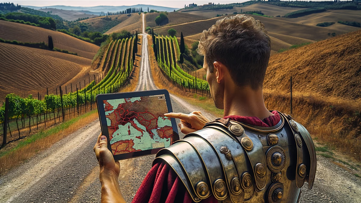
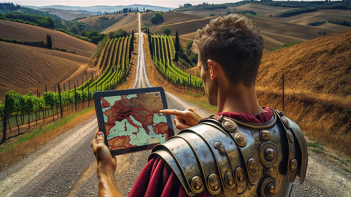
¿Un “GPS de la Antigüedad”? Así una herramienta digital convirtió las calzadas romanas en rutas navegables
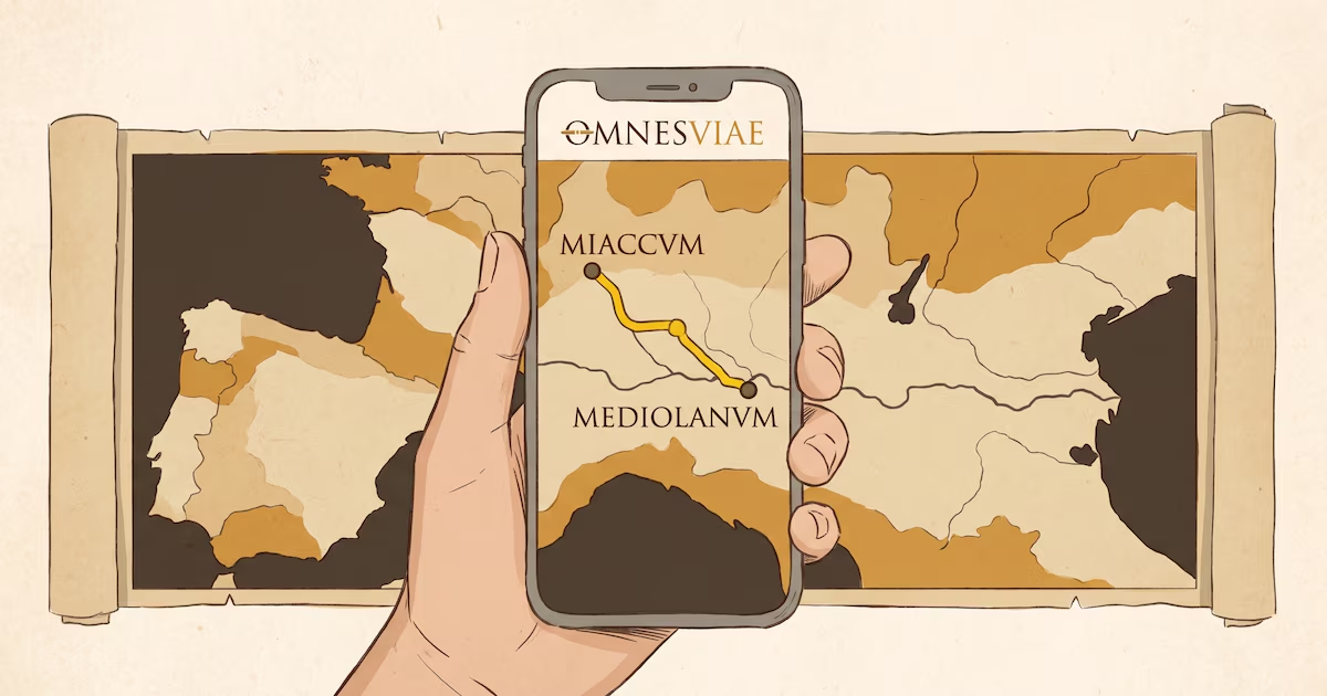
La plataforma desarrollada por un ingeniero neerlandés combina la Tabula Peutingeriana, inteligencia artificial y cartografía georreferenciada para trazar vías entre ciudades del Imperio Romano con paradas intermedias y hasta tiempos de marcha
Confronto fonti
3 prospettive sulla stessa storiaTimeline cronologica
- ·
euronews.com
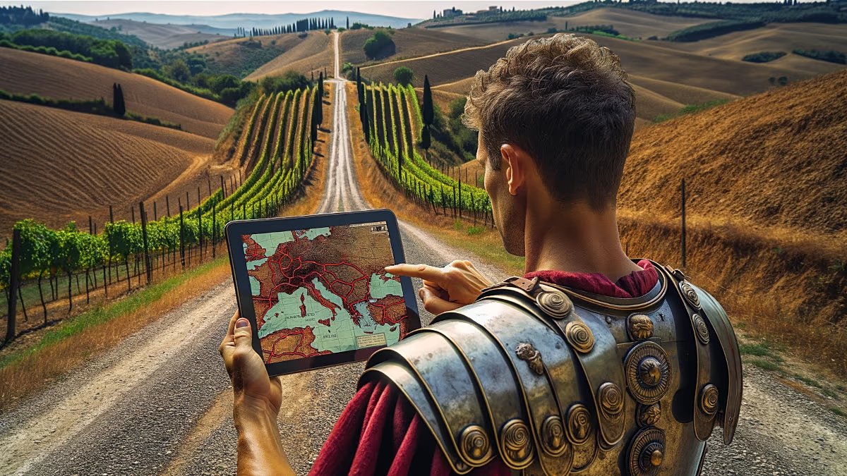
Try the Roman Empire's version of Google Maps
A digital tool lets users explore the Roman Empire’s road network and, using historical data, estimate how long journeys between cities took 2,000 years ago.
- ·
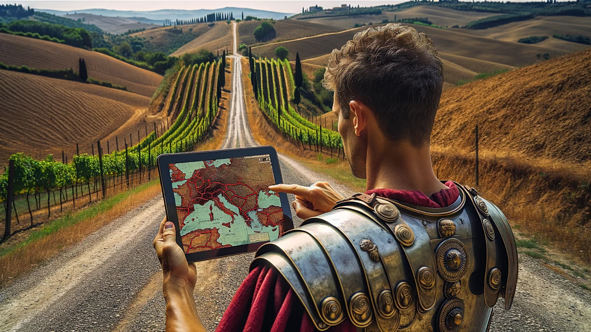
OmnesViae: the Roman Empire’s Google Maps you can use today
A new digital tool lets users explore the Roman Empire’s road network and, using historical data, estimate travel times between cities 2,000 years ago.