04/07/2026 - 10:17 GMT+2
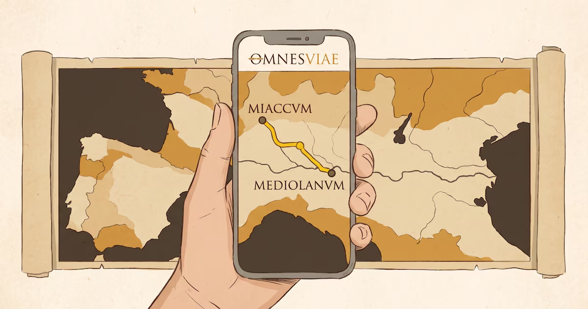
A Dutch engineer has reconstructed, with the help of academic sources and ancient cartography, the road map that linked up the Roman Empire. The result, accessible from any browser, including on mobile phones, allows users to plot routes between cities of Antiquity and find out how many days the journey would have taken on foot or on horseback.
The tool is called OmnesViae (Omnesviae.org (source in Spanish)) and is based mainly on the Tabula Peutingeriana, a medieval copy of a Roman map that depicted the cursus publicus, the Empire’s official road network.
As the western part of that document has been lost, the data for that area come from the Antonine Itinerary, another record from the Roman era. Behind the project is René Voorburg (source in Spanish), who drew on the work of historian Richard Talbert on the Tabula (source in Spanish) and on the location data from the Pleiades Project. The code and database are open access and can be consulted on Codeberg.
How it works and what it shows