A version of this story appeared in the CNN Weather newsletter. To get it in your inbox, sign up for free here.
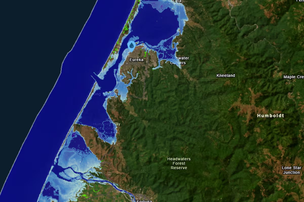
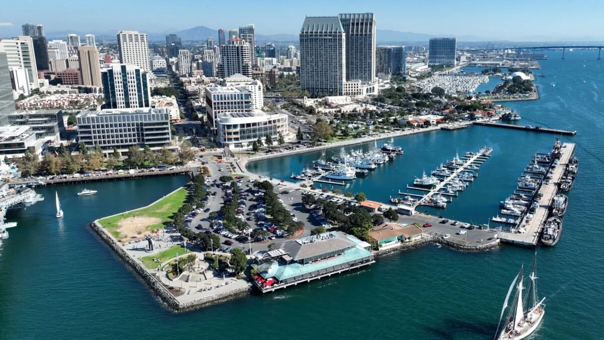
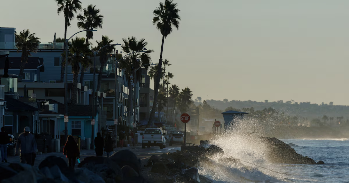
The sea level along California’s coast will increase by about a foot by mid-October due to the influence of El Niño, which is driving a large volume of water northward from offshore of Mexico and Central America.
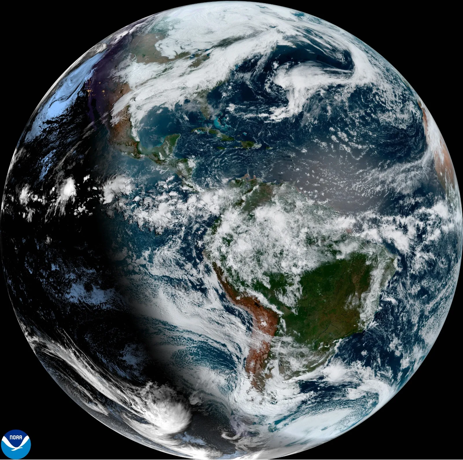
This water is coming in the form of a coastal “Kelvin wave,” and it will mark the arrival of one of the first significant impacts of the powerhouse El Niño taking shape in the tropical Pacific. According to Dillon Amaya, an oceanographer at North Carolina State University, the wave is a clear signal that El Niño has arrived in California.
“Typically, we think of El Niño and its impact on precipitation, but some of the first indications that El Niño is really occurring are the arrival of these coastally trapped waves,” he said.
A coastal Kelvin wave is not one that a person typically sees at a beach, breaking and crashing. Instead, it’s barely perceptible to the human eye as it slithers northward from offshore of Mexico’s Baja Peninsula at about six miles per hour. It is detectable, however, using satellites that measure changes in ocean heights.