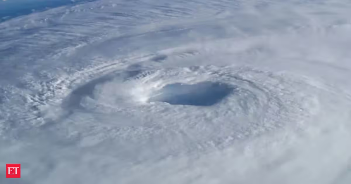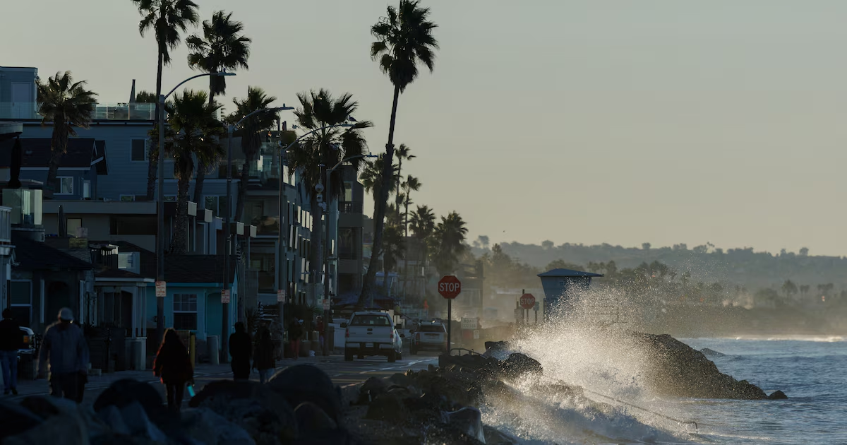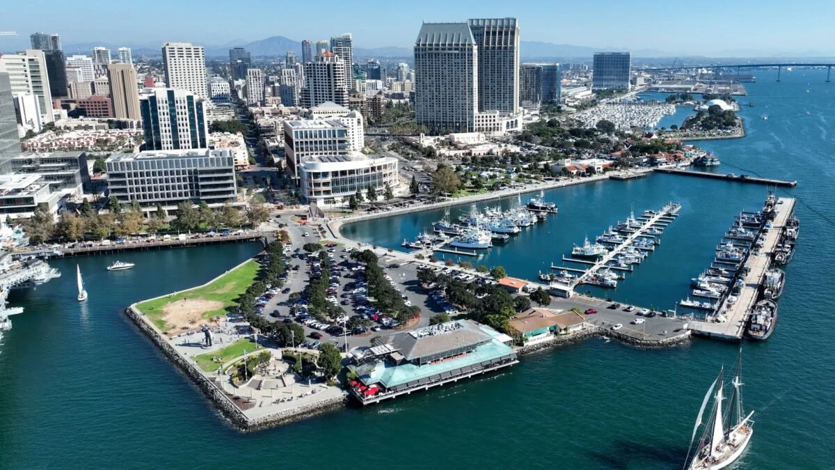
As the peak of El Niño draws closer, scientists are growing increasingly concerned about its potential impacts. According to several experts, California may be in for a particularly difficult winter. During a virtual town hall hosted by Senator Mike McGuire (D-Healdsburg) on Wednesday, climate scientists painted a grim picture of the months ahead for California. The latest El Niño forecast shows this event peaking around 7.2 degrees Fahrenheit (4 degrees Celsius) in December, which would obliterate the previous record and have major implications for West Coast weather and sea levels. “We’re expecting likely the highest sea levels ever recorded on the California coast associated with this event,” said Mark Merrifield, director of the Scripps Center for Climate Change Impacts and Adaptation. How El Niño boosts sea levels El Niño occurs when sea surface temperatures rise above average in the central and eastern tropical Pacific Ocean, which shifts global weather patterns and increases Earth’s average temperature. The impacts of El Niño vary by region, but the West Coast of the U.S. typically sees a significant jump in sea levels.
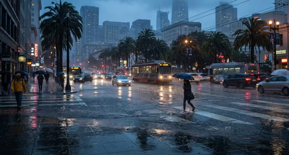
One of the reasons for this is thermal expansion. When the temperature of water rises, so does its volume, so El Niño literally causes the Pacific Ocean to expand. At the same time, this phenomenon leads to more rainfall along the Pacific coast, particularly in Southern California. This boosts sea levels even further.