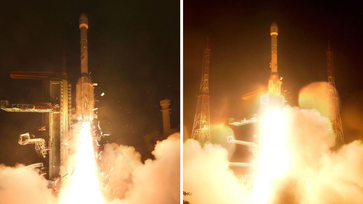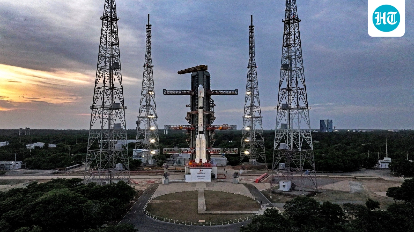
The Indian Space Research Organisation (ISRO) is preparing to launch its GSLV-F17 rocket carrying the EOS-05 satellite, according to details published on the space agency's official website.GSLV-F17 will be the 19th flight of India's Geosynchronous Satellite Launch Vehicle, ISRO said. The rocket will fly with a 4-metre diameter Ogive composite payload fairing and will place EOS-05 into a Sub-Geosynchronous Transfer Orbit (Sub-GTO). The launch is planned from the Second Launch Pad at the Satish Dhawan Space Centre, Sriharikota.Also read: ISRO’s ‘Bahubali’ draws big industry interest as L&T, Adani, others eye rocket technologyISRO has described EOS-05 as a "state-of-the-art Earth observation spacecraft" and said it is India's first-ever imaging satellite from geosynchronous orbit.According to ISRO's mission classification, the satellite's launch vehicle is GSLV-F17, its type is Earth Observation, and its listed application is also Earth Observation.GSLV vs GISATGSLV is the rocket, the launch vehicle that carries a payload into space. EOS-05 is the satellite, or payload, that the rocket is carrying. EOS-05 is also known by its series name GISAT-1A, as it belongs to Isro's GISAT (GEO Imaging Satellite) series of Earth observation satellites designed to sit in geostationary orbit. Isro's mission page refers to the combined mission as "GSLV-F17/EOS-05."Why a geosynchronous imaging satellite matters?Most Earth observation satellites orbit at low altitude and pass over a given location only periodically. A satellite placed in geosynchronous orbit, by contrast, can remain positioned to observe the same broad region continuously, since it orbits at the same rate at which the Earth rotates.EOS-05 is designed to operate from an altitude of about 36,000 kilometres above the equator. At this altitude, the satellite's orbital period matches Earth's rotation, allowing it to stay in a near-fixed position relative to the surface below. This is expected to allow the satellite to repeatedly image the Indian subcontinent and the surrounding region.The mission profile envisages EOS-05 providing near-real-time imagery at intervals of around 30 minutes, with revisit times for priority targets potentially as short as five minutes.Wide-ranging applicationsEarth observation satellites of this kind are used to monitor cloud cover and weather systems, track agricultural conditions, and observe changes in land and water bodies, in addition to supporting disaster management.Frequent, repeated imaging is expected to assist agencies in monitoring developing cyclones, floods, forest fires and other fast-evolving events. The satellite is also expected to support security and strategic observation through persistent monitoring of areas of interest.Also read: ISRO is hiring engineering graduates for 176 posts; check pay, registration, exam date and selection processImaging Earth's surface from geostationary distance presents significant technical challenges, since the satellite must capture detailed imagery of a large region from nearly 36,000 kilometres away while maintaining precise pointing and stable operations.Five years in the makingThe GISAT programme, of which EOS-05 forms a part, traces back to the original GISAT-1 mission, which failed to reach orbit after an issue during the GSLV-F10 launch in August 2021.The upcoming launch marks ISRO's return to the GISAT concept, offering another opportunity to demonstrate continuous Earth imaging from geostationary orbit.
India's new eye in the sky: Everything to know about ISRO's GSLV-F17 launch of first geostationary imager on Sept 4
India's space agency ISRO is preparing to launch its GSLV-F17 rocket soon. This rocket will carry the EOS-05 satellite into a specific orbit. The EOS-05 satellite will provide continuous Earth observation imagery. This advanced satellite will monitor weather and support disaster management efforts. It also aims to enhance security and strategic observation capabilities.
499 words~2 min read