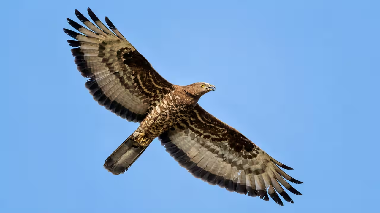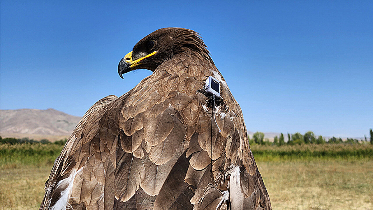
Immature steppe eagle was satellite-tagged on Sept. 18, 2022 at the Aras River Ornithological Station in northeastern Turkey. Credit: Kayahan Ağırkaya.
In 1899, scientists began tracking avian migration by placing a small ring with an identifier around birds' ankles. Researchers then had to recapture the birds elsewhere, leaving the journey between those points a mystery. Today, GPS tags allow researchers to see every stage of bird migration. The tags are small, have long-lasting batteries and solar panels, and track dozens of metrics. Migration is no longer described as just a theoretical range but rather as an exact map. Despite this technological advancement, the routes of many species in their respective flyways remain undescribed.
Now, a new satellite tracking study led by a University of Utah undergraduate describes the journey of migratory raptors along the understudied East Asia–East Africa Flyway. The steppe eagle, Aquila nipalensis, a highly endangered raptor species, has been tracked before. However, Nathan Murthy's was the first satellite-tracking study of the booted eagle, Hieraaetus pennatus, in this flyway.
Spectacular and dangerous journeys
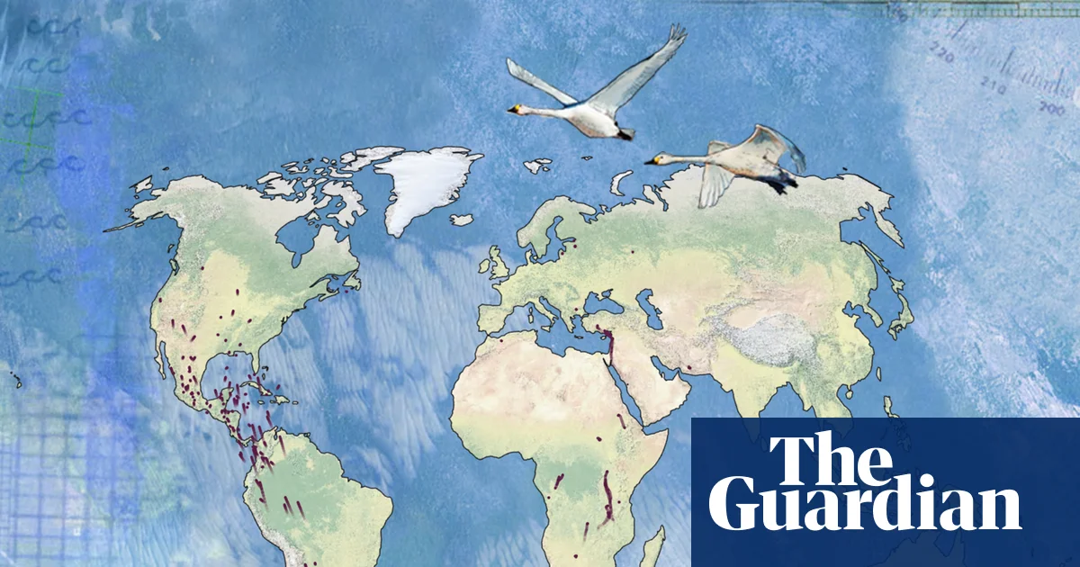
The East Asia–East Africa Flyway crosses more than 60 countries and stretches from northern breeding grounds in Siberia and eastern Russia to wintering sites in eastern and southern Africa. Many of the more than 330 bird species along the corridor have to navigate major bottlenecks in the Middle East, including large bodies of water and growing anthropogenic stressors such as persecution, falconry, habitat loss, increased pesticide use and collisions with power lines. Wildfires, advancing spring arrival times and extreme El Niño events also pose challenges.