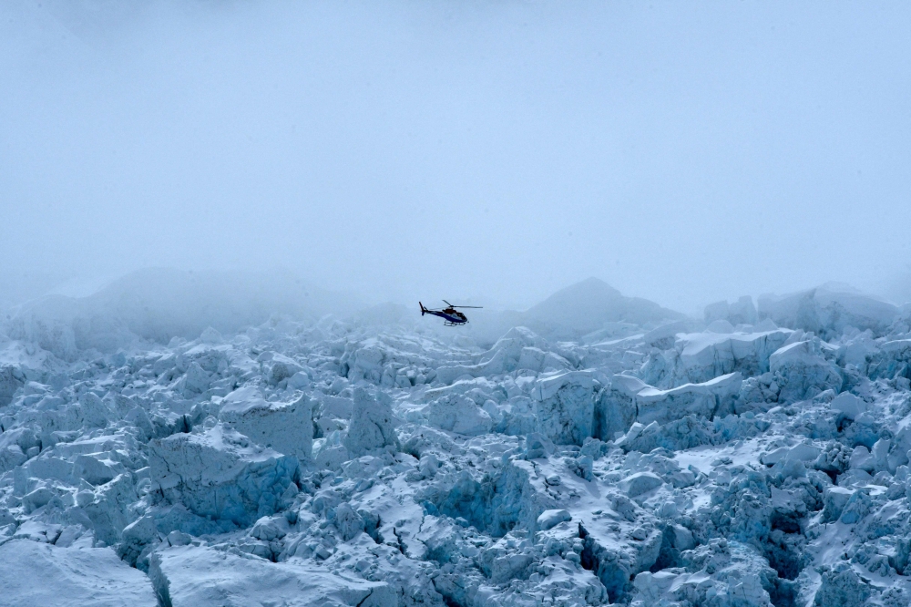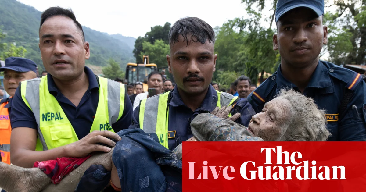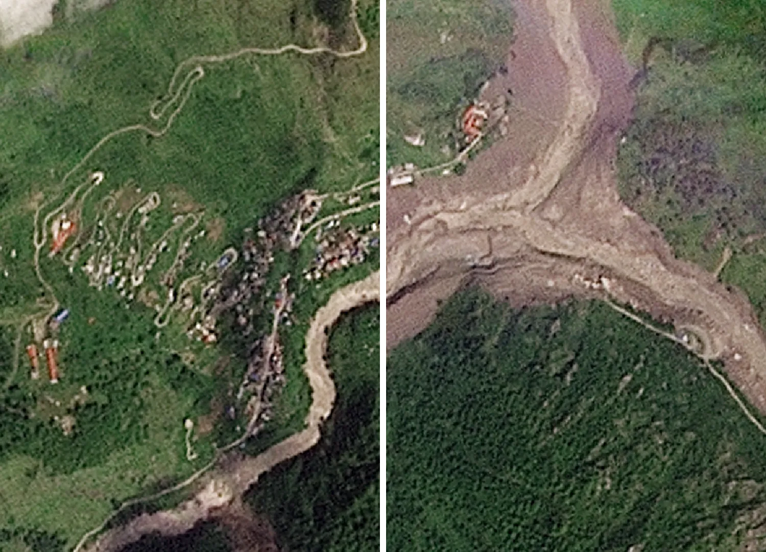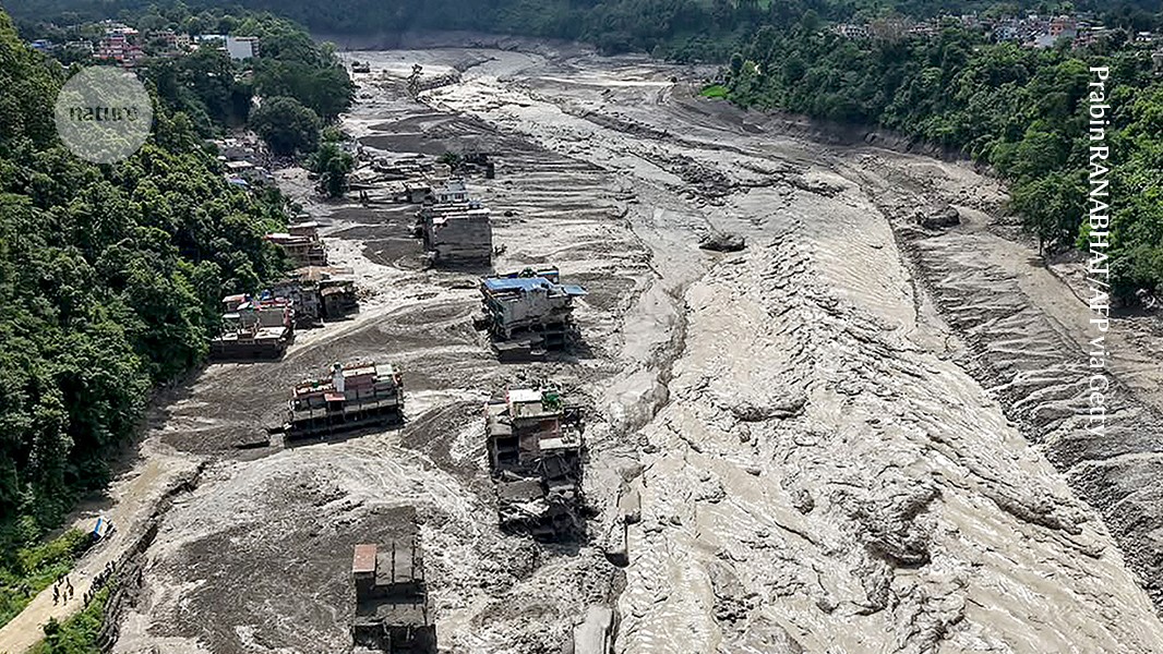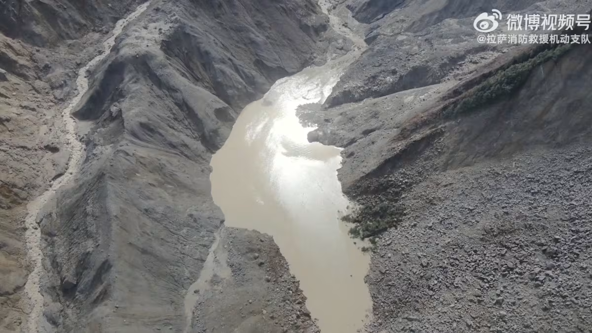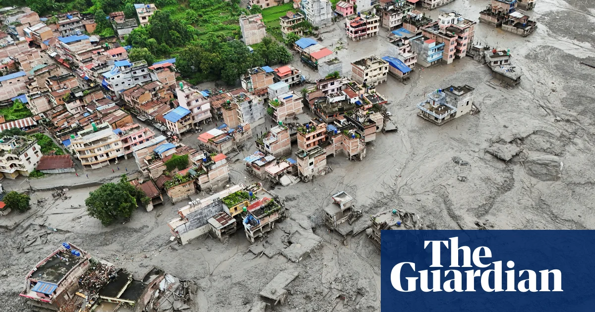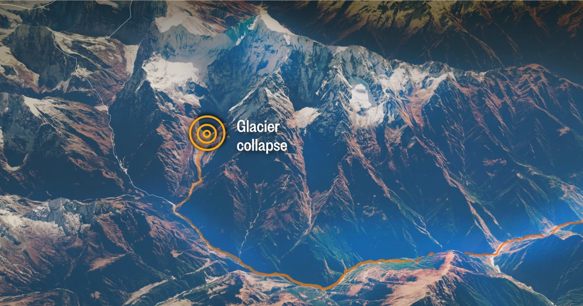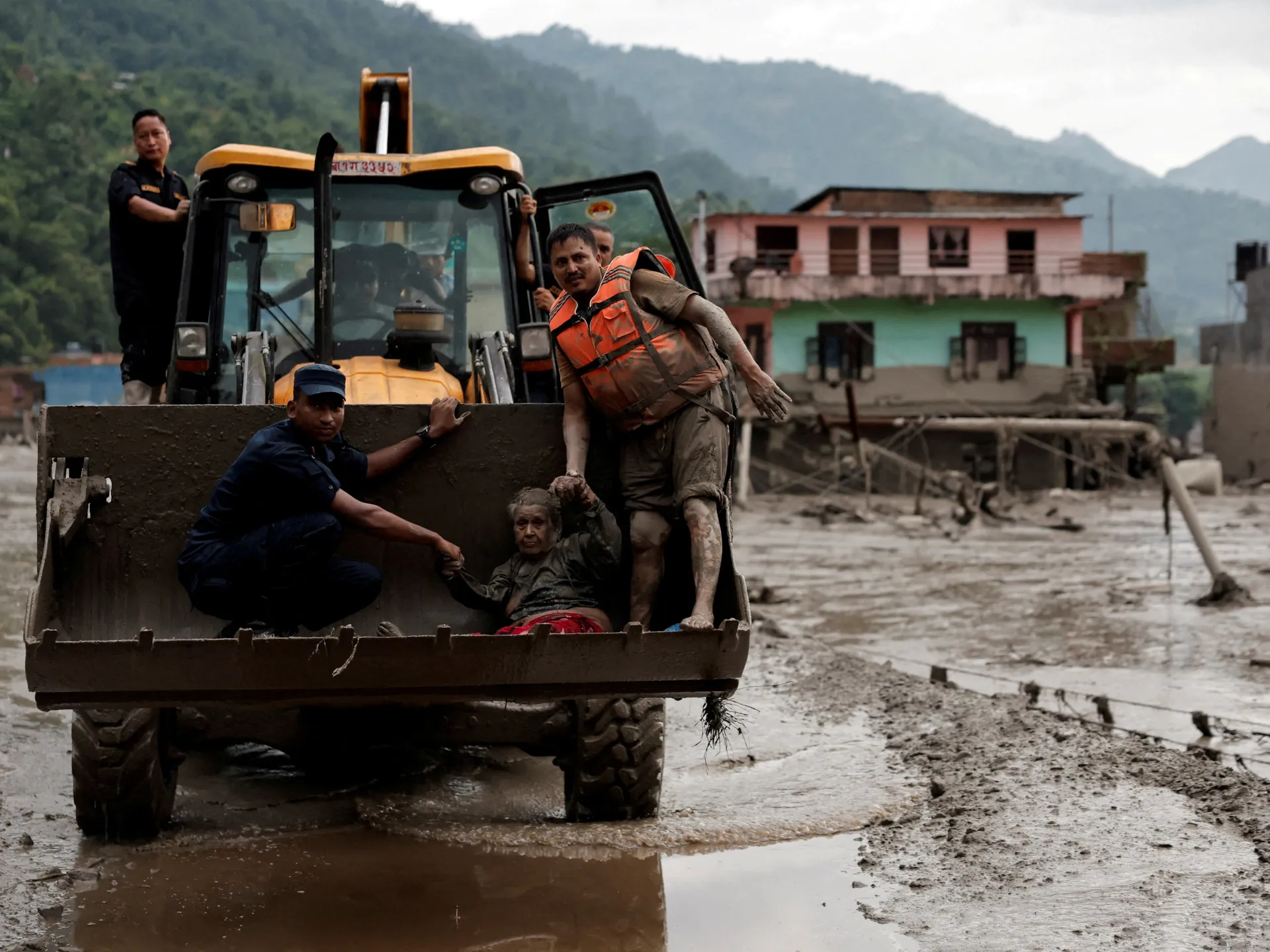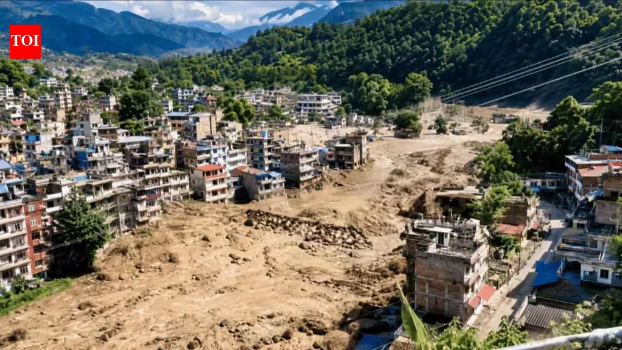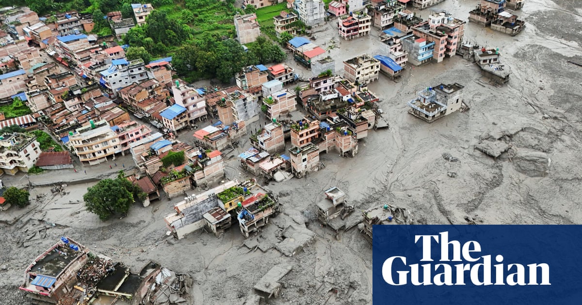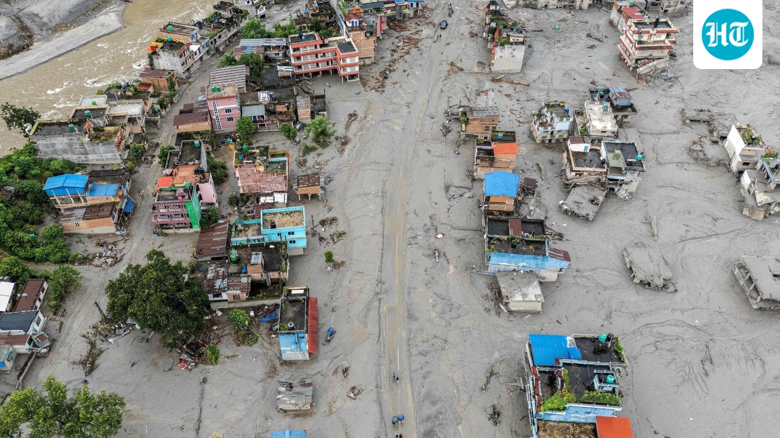
India has intensified monitoring of its Himalayan areas along the borders with China and Nepal, days after floods reportedly caused by a glacial collapse killed at least 626 people and left more than 2,000 missing in Nepal, authorities said on Saturday.This aerial photograph shows houses covered heavily in sludge in the aftermath of flash floods at Devighat in Nepal's Nuwakot district. (AFP)Uttarakhand chief minister Pushkar Singh Dhami has also told officials to deploy advanced sensors and early warning systems around vulnerable glacial lakes in the Himalayas, HT reported earlier.Follow latest updates related to Nepal floods here.India steps up glacial monitoring after Nepal floodsThe US Geological Survey said the disaster that struck the Tibet-Nepal border on Wednesday was caused by a glacial collapse, which sent a large flow of debris downstream.The exact reason for the collapse remains unknown. However, scientists have warned that climate change is accelerating glacier melt worldwide and increasing the likelihood of such disasters.Uttarakhand disaster management minister Madan Kaushik told news agency AFP, “Since we share a border with Nepal, as a neighbour, and also have a similar geographic situation... we have asked our department to monitor all the glaciers and known glacial lakes in the region.”"We have asked our teams to be vigilant and monitor if a similar situation is emerging anywhere in the state," he added.Uttarakhand identifies 13 glacial lakes as sensitiveVinod Kumar Suman, secretary, disaster management and rehabilitation, told HT earlier that 13 glacial lakes in the state have been classified as sensitive. “Surveys of four lakes have already been completed, while scientific assessments of the remaining lakes will be conducted in phases,” he said.Suman said an expert team was expected to survey Saraswati Tal in Chamoli district and Kedartal in Uttarkashi district.“The surveys will assess the present condition of the lakes, water levels, changes in their size, surrounding terrain, potential hazard factors and the likely impact on downstream areas,” he said.Officials have been directed to identify areas at risk, prepare maps of zones that could be affected, mark safe evacuation routes, improve communication networks and strengthen local warning systems, as well as relief and rescue preparations.District magistrates have also been told to keep a regular watch on high-risk locations in their districts and inform senior authorities about any unusual developments.Glacial collapse led to Nepal flash floods?The US Geological Survey said a massive block of ice that plunged several thousand metres from a glacier into a river below may have triggered the disaster in Nepal and Tibet.The collapse was powerful enough to be detected as a seismic event and was initially believed to have been an earthquake.However, after analysing the event further, the US Geological Survey concluded "that the seismic event was instead a glacial collapse and debris flow, and that no earthquake had occurred.”Himalayan glaciers supply water to nearly two billion people and are now melting at an accelerating rate because of climate change. Scientists have warned that this is leaving communities increasingly exposed to sudden and expensive disasters, AFP reported.With inputs from agencies
Uttarakhand ramps up glacier monitoring after Nepal floods kill over 600
The US Geological Survey said the disaster that struck the Tibet-Nepal border was caused by a glacial collapse, which sent a large flow of debris downstream. | India News
500 words~2 min read