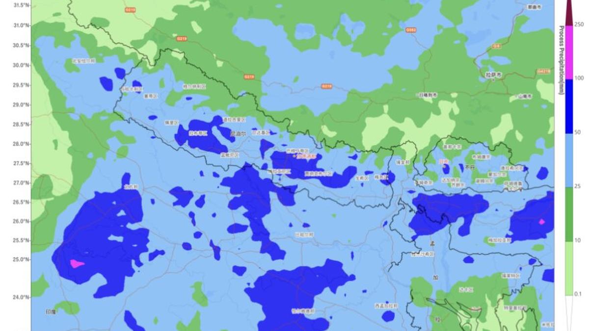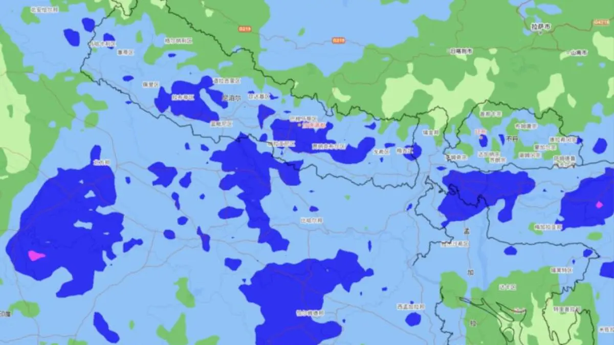
Heavy to very rain is forecast for the next two to three days over Nepal and contiguous Bihar, Jharkhand, and Uttar Pradesh, according to the Beijing Centre of the World Meteorological Organisation.
| Photo Credit:
WMO Regional Centre, Beijing
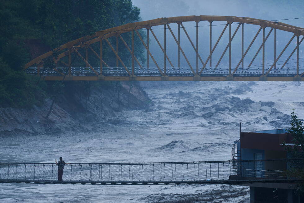
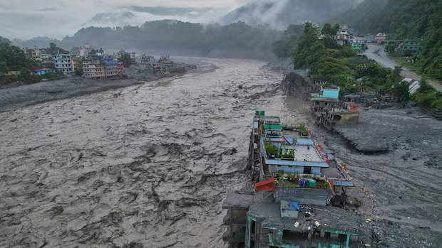
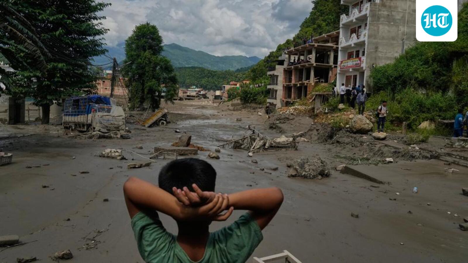
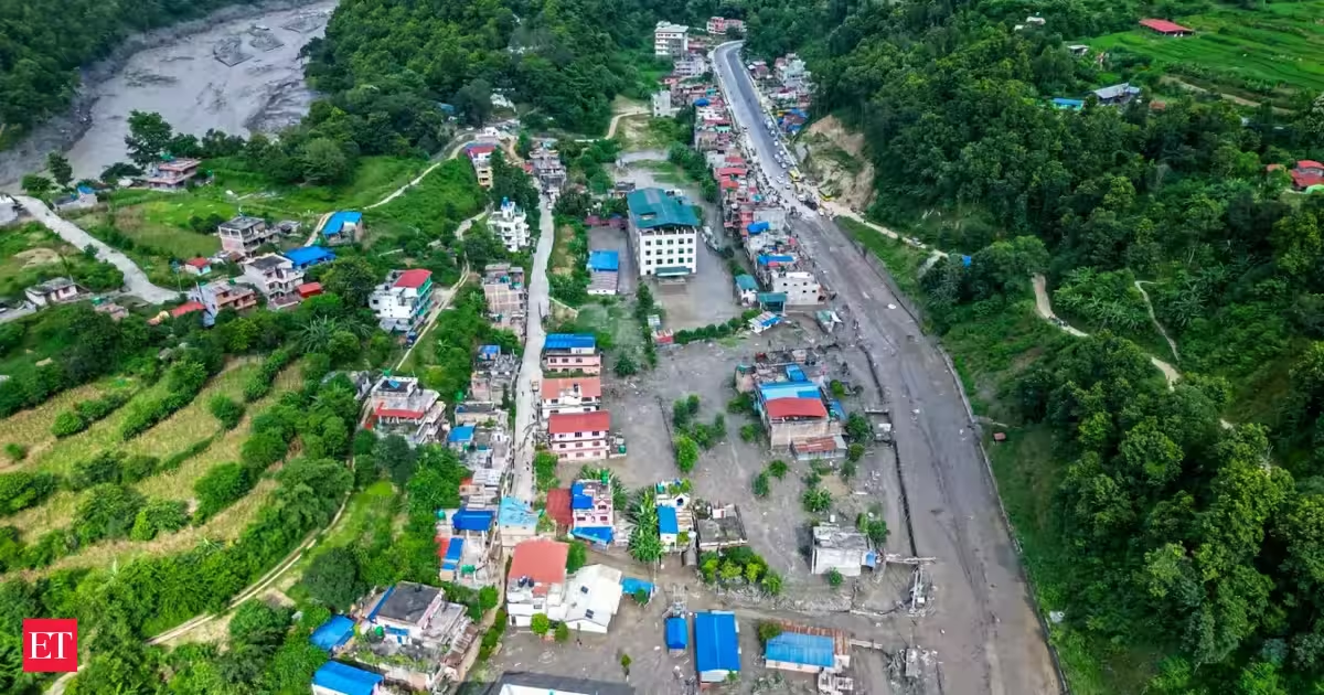
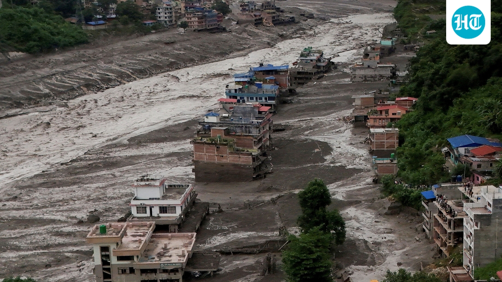
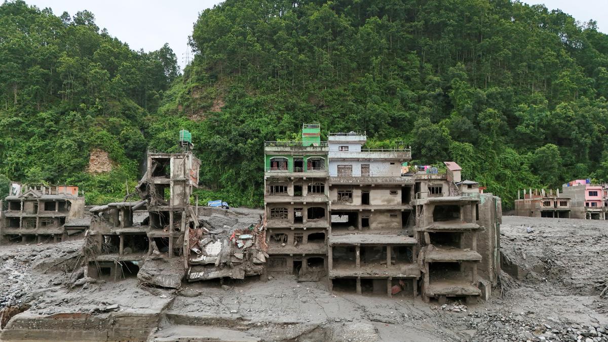
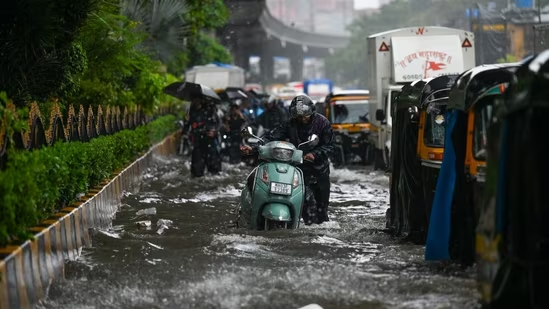
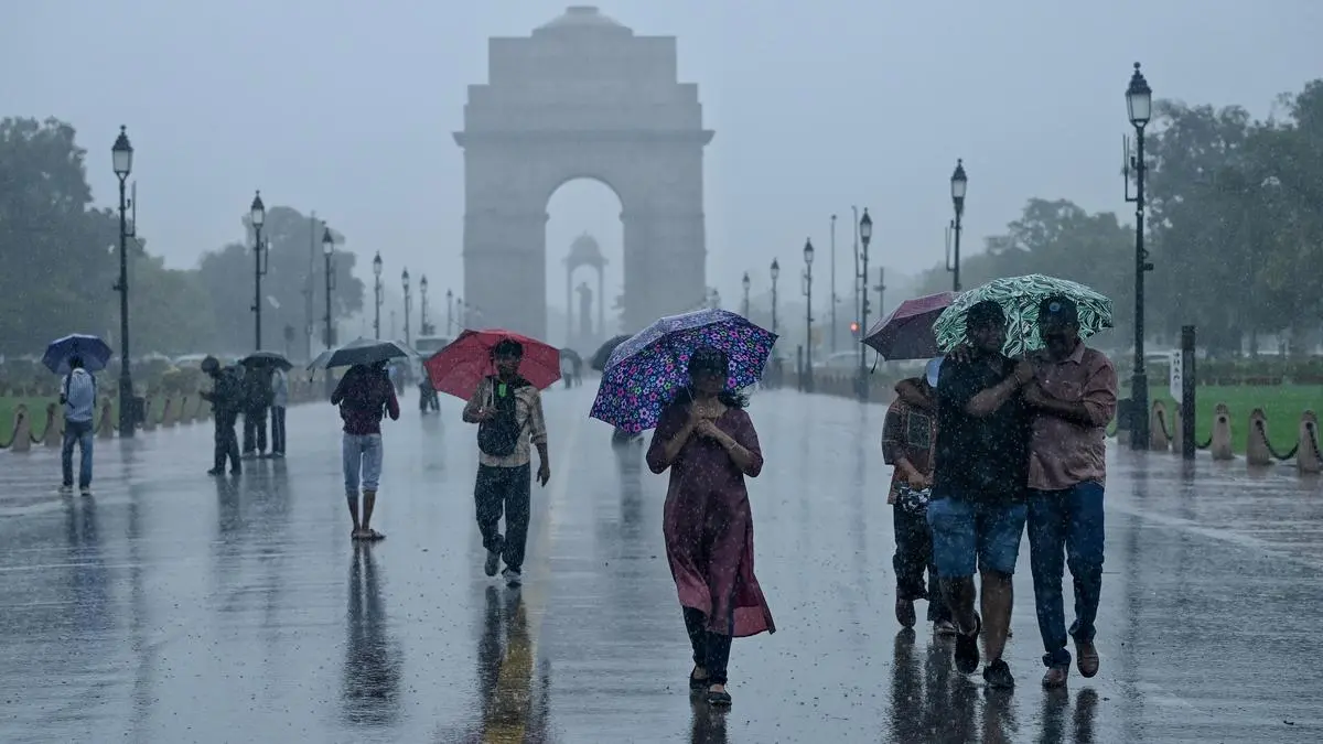
Extremely heavy rain lashed parts of West Uttar Pradesh through Thursday and into Friday morning, even as the low-pressure area over north-east Uttar Pradesh that has been driving the monsoon over the region, begins to weaken. The weakening comes as a fresh ‘low’ is expected to form over the north-west Bay of Bengal and adjoining West Bengal–north Odisha coasts by Saturday, the India Meteorological Department (IMD) said.Two ‘lows’ operating in such close proximity are an unusual arrangement, possible only when the monsoon circulation and the systems’ relative strength allow them to coexist. Meanwhile, the existing ‘low’ continued to command the attention of the Beijing centre of the World Meteorological Organisation (WMO), particularly because of its influence on rainfall over the Himalayan foothills and Nepal.Nepal flood riskThe incoming ‘low’ is expected to spread isolated heavy rain across parts of North-East India over the next few days, while also strengthening rainfall over parts of North-West India. Some of these rain bands could spill into Nepal, where persistent rainfall over the past 10 days has already left the ground saturated and precipitation totals at heavy to intense levels. The WMO centre said Bagmati province in Nepal is likely to see frequent rain, with orographic lifting along the southern Himalayan foothills generating localised heavy rain and intense downpours. The heavier rainfall, however, is expected to remain relatively scattered.Secondary hazardsRainfall intensity is likely to strengthen on Saturday, raising the prospect of secondary hazards, including flash floods, landslides and debris flows, in areas already battered by prolonged rain. The warning is particularly significant for Bagmati, which includes much of the Nepalese side of the area devastated by catastrophic flooding. The worst-hit Rasuwa and Nuwakot districts lie within Bagmati. The deadly flash flood had originated in the high Himalayas near the Lhende Khola–Bhote Koshi system along the Nepal-Tibet border in Rasuwa, before surging downstream through parts of Rasuwa and Nuwakot.Very heavy rainBack home, heavy to very heavy rain was recorded over other parts of West Uttar Pradesh and East Madhya Pradesh through Friday morning as the ‘low’ lingered. Heavy rain was also reported over the hills of West Bengal and Sikkim; the plains of West Bengal; Bihar; East Uttar Pradesh; West Madhya Pradesh; and Chhattisgarh.Monsoon troughThe monsoon trough on Friday ran from Amritsar through Dehradun, Kheri; and the centre of the ‘low’ over north-east Uttar Pradesh; then through Madhupur and Bankura, before bending eastwards into the north-east Bay. This configuration has kept the western end of the trough tucked into the Himalayan foothills, well north of its normal position. It helps explain the subdued monsoon over much of the country, even as the Himalayan foothills and adjoining parts of North-West, East and North-East India continue to receive more substantial rain.Rainfall focusThe developing Bay ‘low’ is expected to shift the rainfall focus eastwards. Odisha could receive isolated extremely heavy rain on Sunday, while isolated heavy rain is likely to persist over the hills and plains of West Bengal on Sunday and Monday. Jharkhand and Bihar may see isolated heavy rain for three days from Saturday. Odisha could receive heavy rain on Sunday and again for three days from Tuesday. Isolated very heavy rain is forecast over West Bengal on Sunday, and over Odisha on Saturday and Monday. Published on August 28, 2026