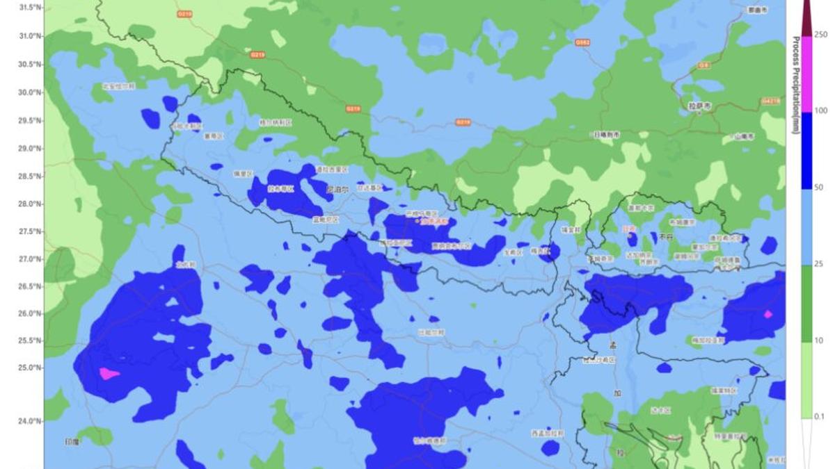
Forecast of heavy rain or extremely heavy rain (in blue and dark blue) over Nepal and adjoining Uttar Pradesh and Bihar in India for next three days as a monsoon ‘low’ over Uttar Pradesh pumps in moisture.
| Photo Credit:
WMO Regional Centre, Beijing
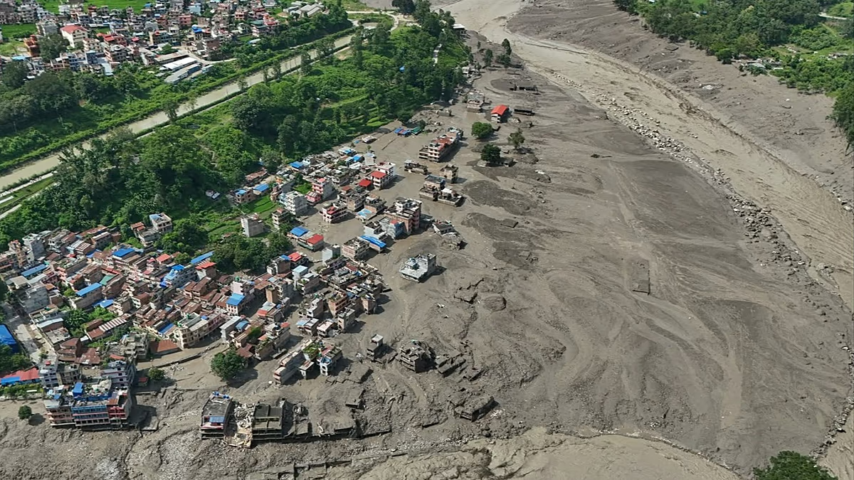
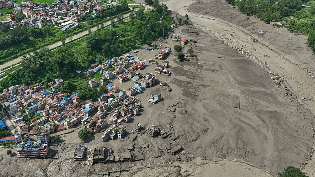
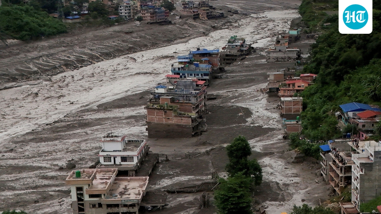
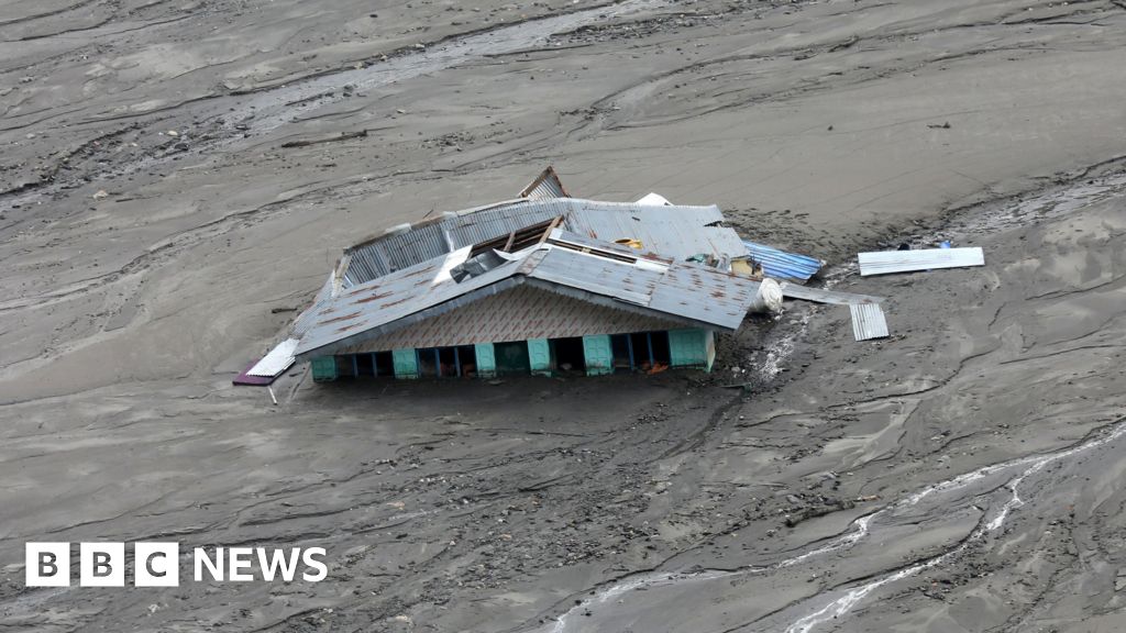
The deadly floods and landslides that struck Nepal through Tuesday and Wednesday were driven by a vigorous monsoon, intensified by a low-pressure area over south Uttar Pradesh and adjoining north-east Madhya Pradesh in neighbouring India, according to the Beijing centre of the World Meteorological Organisation (WMO).Not a depressionThe WMO centre classified the system as a monsoon depression, while the India Meteorological Department (IMD), which tracks the system over the region that falls under its jurisdiction, has described it as a conventional monsoon ‘low’ that originated over the Bay of Bengal.The IMD located the ‘low’ over south Uttar Pradesh and adjoining north-east Madhya Pradesh on Wednesday. Its influence was amplified by a monsoon trough stretching from Jammu through Dehradun and Shahjahanpur, across the centre of the ‘low,’ and onward through Ranchi and Digha; into the north-east Bay.Secondary trough That trough acted as a moisture highway, feeding humid air into the storm zone. A secondary trough extended from the ‘low’ towards the north-east Bay, crossing East Madhya Pradesh; Chhattisgarh and Odisha. At the same time, a western disturbance, represented by a cyclonic circulation over north Haryana, interacted with the ‘low’ and helped squeeze out more rain.The combination of systems sent successive waves of rain into the Himalayan foothills and mountains, producing heavy rainfall over Nepal and extremely heavy rain over West Uttar Pradesh on the Indian side until Wednesday morning. East Uttar Pradesh and East Madhya Pradesh also received heavy to very heavy rain.Rain deficit staysThe wider rain belt covered large parts of North-West and East India, including the hills of West Bengal and Sikkim; the plains of West Bengal; Bihar; Haryana-Chandigarh-Delhi; Himachal Pradesh; East Rajasthan; and West Madhya Pradesh. Heavy rain was also recorded over parts of Coastal Karnataka andKerala and Mahe in South Peninsula. But despite the widespread downpour, the rain has not yet dented India’s overall monsoon deficit, which remained at 13 per cent on Wednesday, with only a week left in August.Another spell brewing The current ‘low’ may get pushed back towards the Bay where it originated, and where it could likely breed a successor. The successor ‘low’ could strengthen into a depression over land, potentially setting up another spell of heavy rain across East and North-East India and parts of Central India and North-Wet India. The WMO Beijing centre said Nepal has already endured persistent rain for about 10 days. Accumulated rainfall has reached heavy to intense levels as a vigorous monsoon combines with orographic lifting, the forced rise of moisture-laden air along the southern Himalayan foothills.More rain, more riskRainfall over the upstream Tibetan plateau in southern Tibet, China, has added to the problem. A trough there has produced moderate to heavy rain, including localised intense downpours. The combination of local and upstream rainfall contributed to flash floods and debris flows in northern Nepal on Wednesday.The threat is far from over. The ‘low’ is expected to continue generating moderate to heavy rain over Nepal during the next three days, with heavy to intense downpours likely in southern Nepal. The WMO has urged vigilance against secondary disasters, including flash floods, landslides and debris flows.Prolonged stay Across East India, Nepal and Bangladesh, rain is expected to persist for the next five days as the ‘low’ prolongs its influence. Western Nepal could see heavy and locally very heavy rain accompanied by intense thunderstorms. In neighbouring India, Jharkhand, Chhattisgarh and Madhya Pradesh are also likely to remain in the firing line.The WMO centre expects accumulated rainfall of 6–15 cm, with some pockets crossing 20 cm in the region. Localised totals in East India could exceed 25cm, reaching exceptional rainfall levels. That raises the risk of local inundation and flash floods, alongside landslides and other rain-triggered geophysical hazards. Published on August 26, 2026