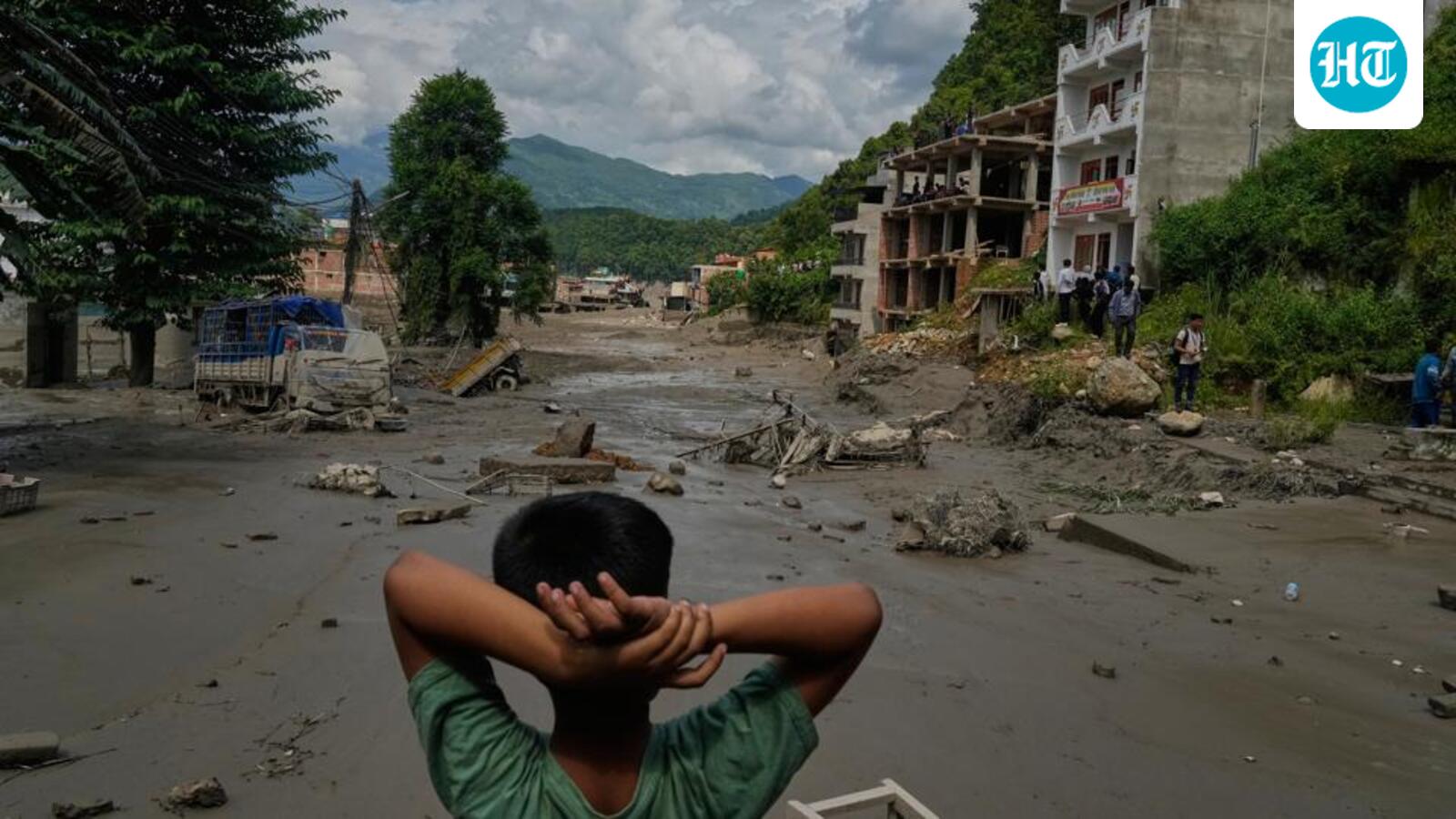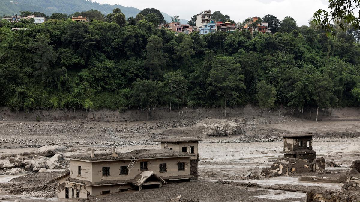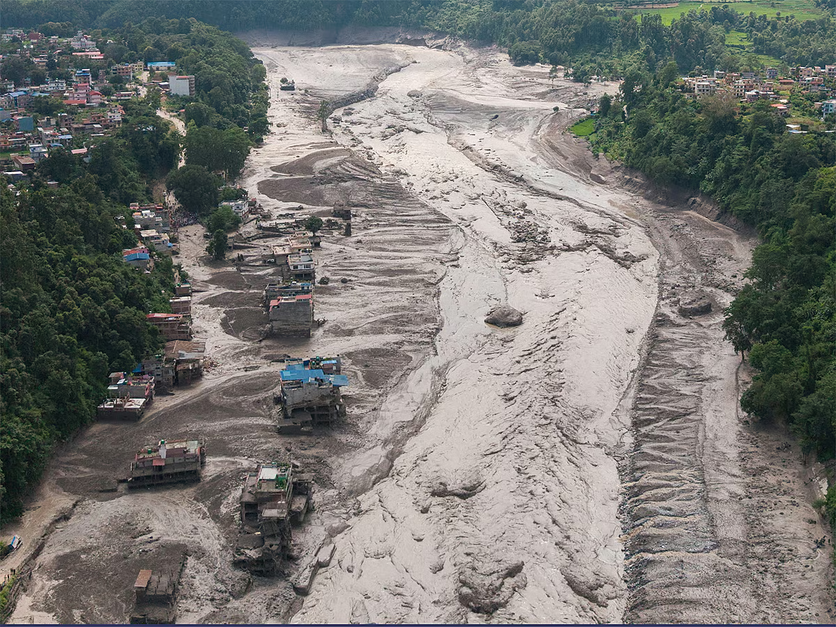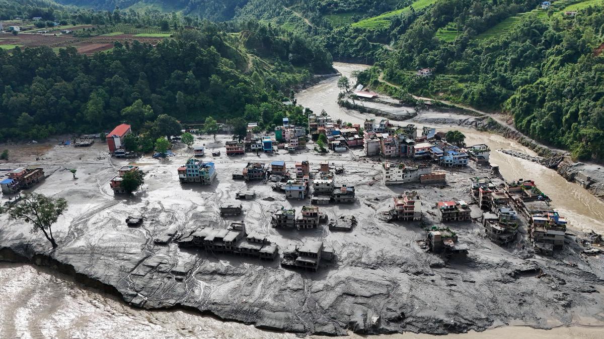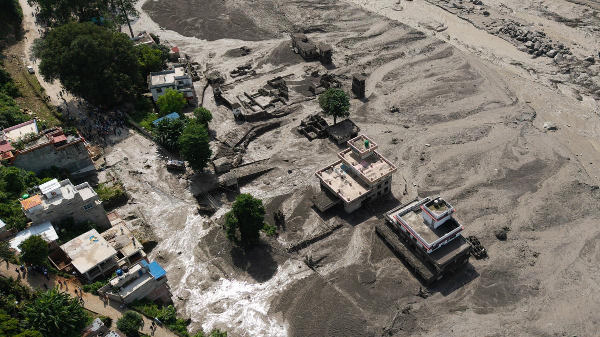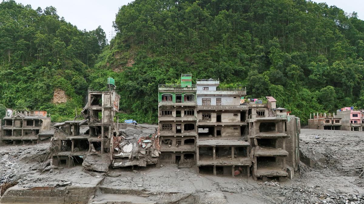
A drone view shows mud covering properties following a flash flood in Trishuli, Nuwakot district, Nepal, August 27, 2026.
| Photo Credit:
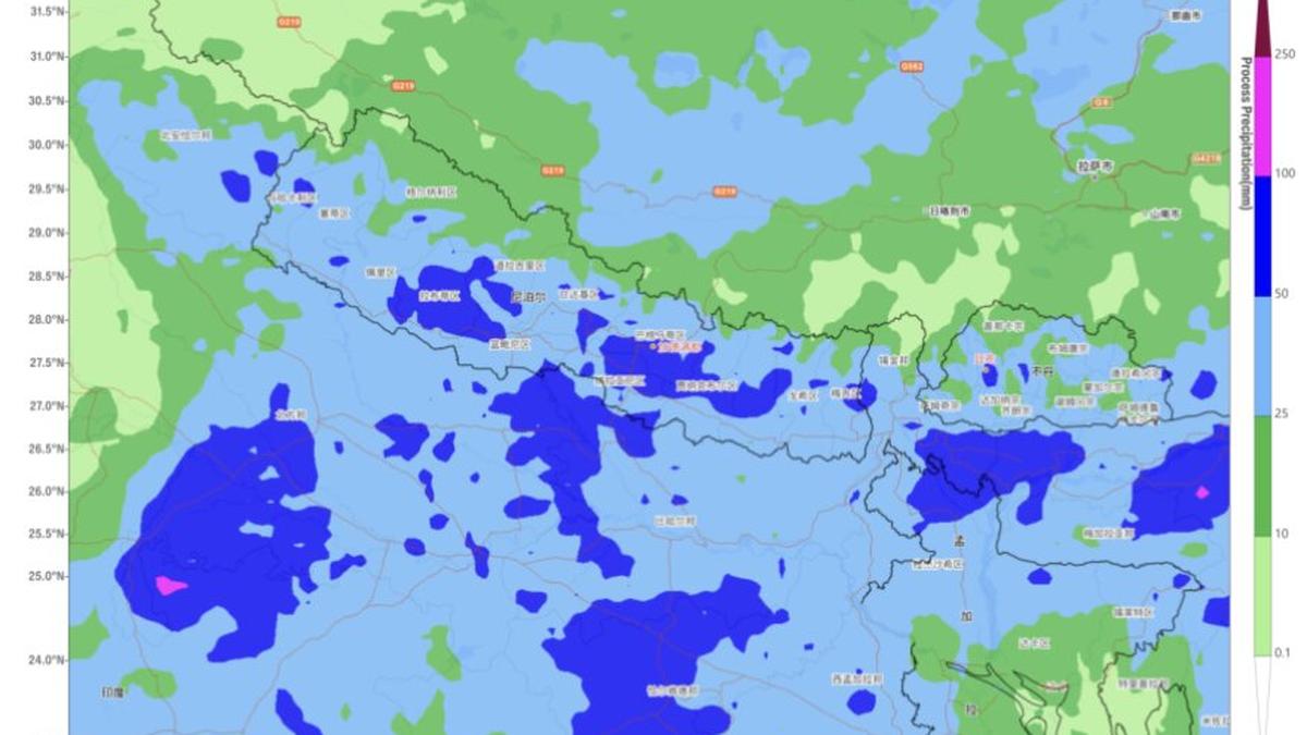
A day after severe floods and landslides devastated Nepal, the weather system blamed for helping sustain heavy rain across the region moved to south-east Uttar Pradesh to the Indian side on Thursday, even as an assisting western disturbance weakened. The low-pressure area had helped keep the monsoon active over the Himalayan foothills and adjoining plains in recent days. This (Thursday) morning, the western end of the monsoon trough, spine of the larger monsoon circulation across North India, nestled close to the Himalayan foothills.Active monsoon beltThe overall pattern points to a persistently active monsoon belt stretching from the Himalayan foothills across East and North-East India, keeping the region, including areas already reeling from Nepal’s floods, under a prolonged spell of unsettled weather. India Meteorological Department (IMD) said the trough stretched from the hills of Jammu through Dehradun and Badayun; the centre of the ‘low’ over Uttar Pradesh; Daltonganj in Jharkhand; and Digha in West Bengal, before bending eastwards into the north-east Bay of Bengal.Rain over hills The configuration kept the monsoon vigorous over East and North-East India; Himalayan foothills including Nepal; and parts of North-West India. A broad belt of dense cloud cover extended from Madhya Pradesh into the hills and plains of south-west Uttar Pradesh and vulnerable Uttarakhand, immediately west of Nepal.The most intense clouding was concentrated over south-west Uttar Pradesh - including Jhansi, Orai, Banda, Lalitpur, Agra and Aligarh - and adjoining north-east Madhya Pradesh around Gwalior; Shivpuri; and Guna. Sambhal; Muzaffarnagar; and Bareilly in Uttar Pradesh, along with Almora and Haldwani in Uttarakhand, were also under heavy rain-bearing clouds.Cyclonic circulationsThe wider circulation pattern remained supportive of rain. An upper-air cyclonic circulation persisted over south Bangladesh and adjoining West Bengal, while a secondary trough extended from the north-west Bay to north-east Rajasthan across Odisha, north Chhattisgarh and north Madhya Pradesh. Cyclonic circulations were also present over north-west Uttar Pradesh; north-east Assam; Telangana; and adjoining Rayalaseema.Projected rain outlook For Thursday, the IMD forecast fairly widespread to widespread rain over Uttarakhand for the next six days. West and East Uttar Pradesh were expected to receive fairly widespread to widespread rain today, while isolated to scattered showers were likely over the remaining parts of Northwest India.Several areas of North-West and East India bordering or lying close to flood-hit Nepal are likely to remain wet over the next few days. In East India, fairly widespread to widespread rain is forecast over West Bengal; Jharkhand; and Odisha for next six days, and over Bihar for three days from Thursday. The hills of West Bengal and Sikkim are also expected to receive fairly widespread to widespread rain through the next six days.East, North-EastIsolated heavy rain is likely over the hills of West Bengal and Sikkim on Thursday and Friday; West Bengal for three days from Saturday; Jharkhand for four days from Thursday; Bihar for three days from Thursday; and Odisha on Thursday and Friday. Odisha faces the prospect of the most intense spells, with isolated very heavy rain forecast for four days from Saturday.Thunderstorms, lightningThunderstorms, lightning and gusty winds may accompany the rain. Odisha is likely to see these conditions for three days from Thursday; hills of West Bengal and Sikkim on Saturday; plains of West Bengal and Jharkhand for four days from Thursday; and Bihar for six days. Further east, fairly widespread to widespread rain is forecast over Arunachal Pradesh for six days; Assam and Meghalaya for five days from Friday; and Nagaland, Manipur, Mizoram and Tripura for six days from Thursday. Published on August 27, 2026