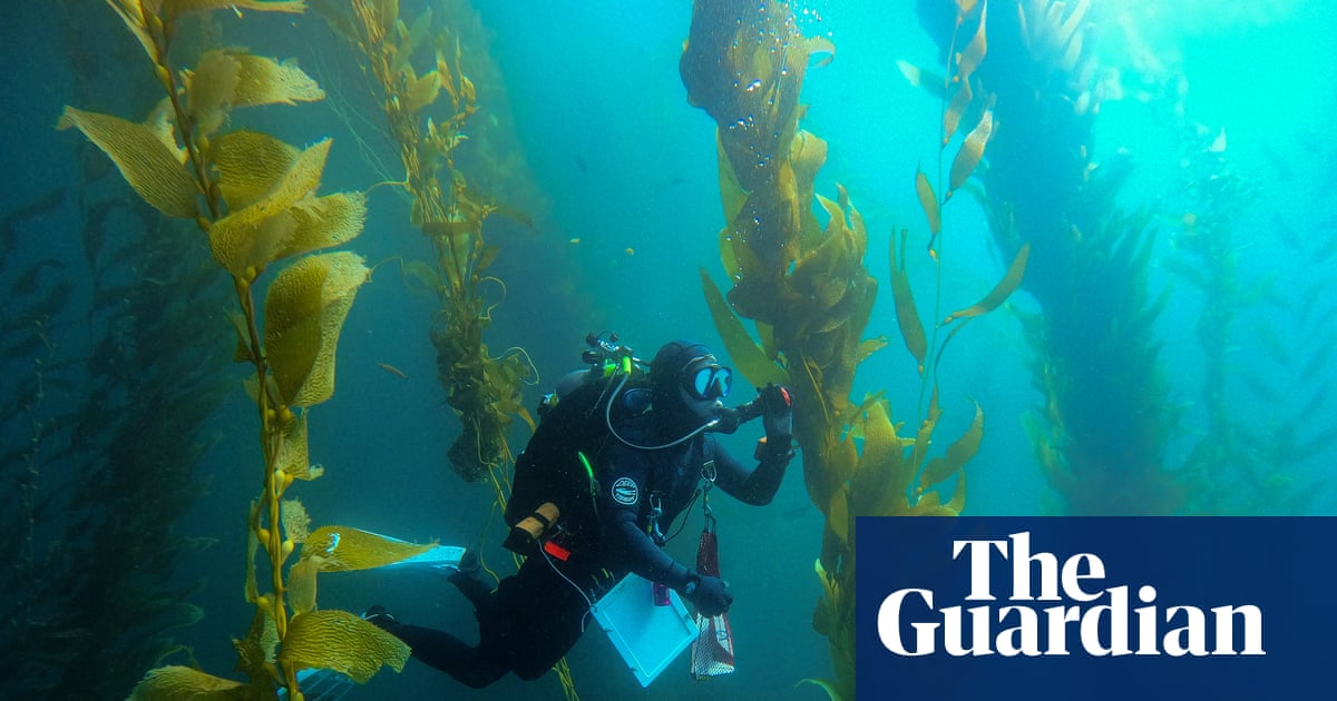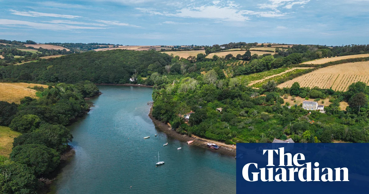
On a rocky beach in Cornwall, a group of wetsuit-clad freedivers and snorkellers are wading into the shallows. Below St Mawes Castle, built by Henry VIII to defend Falmouth harbour, they disappear in a swish of florescent pink and green fins.They are volunteers, trained by the Cornwall Wildlife Trust to use underwater cameras and floating GPS devices to detect changes in marine habitats over time.Their work is vital because beneath the surface of Falmouth’s busy natural harbour, known as Carrick Roads, are two of the UK’s most biodiverse and carbon-rich marine habitats: lush seagrass meadows and purple-pink carpets of ancient maerl – a rare and fragile coral-like seaweed. They are some of the largest such beds in England.Parts of the slow-growing maerl beds, which stretch from St Mawes to St Just in Roseland, are believed to be up to 4,000 years old. They act as nurseries for commercially valuable species such as scallops and crab.Last year, however, divers found a “worrying deterioration” in the maerl beds, which were being smothered by algae, preventing much-needed sunlight getting to the seaweed. Algal blooms, fuelled by excess nutrients from agricultural runoff and sewage in the River Fal’s catchment area, are unfortunately also present today.
‘It’s the unseen pollution’: how getting farmers, fishers and beavers together could save a Cornish river
A local initiative is testing simple ways to stop algal blooms in the River Fal threatening some of England’s most biodiverse marine habitats
1,603 words~7 min read