So as the summer (slowly) starts to wane and temperatures (hopefully) start to come down, why has it been so hot this summer? What’s coming next year, and how should we prepare for it? As we burn fossil fuels and fill up the atmosphere with greenhouse gases, temperatures all over the globe are on the rise—climate change makes heat waves more likely and more intense. But different regions see different warming rates, and Europe takes the prize for the world’s fastest-warming continent. (It’s second only to the Arctic in terms of regional warming.)
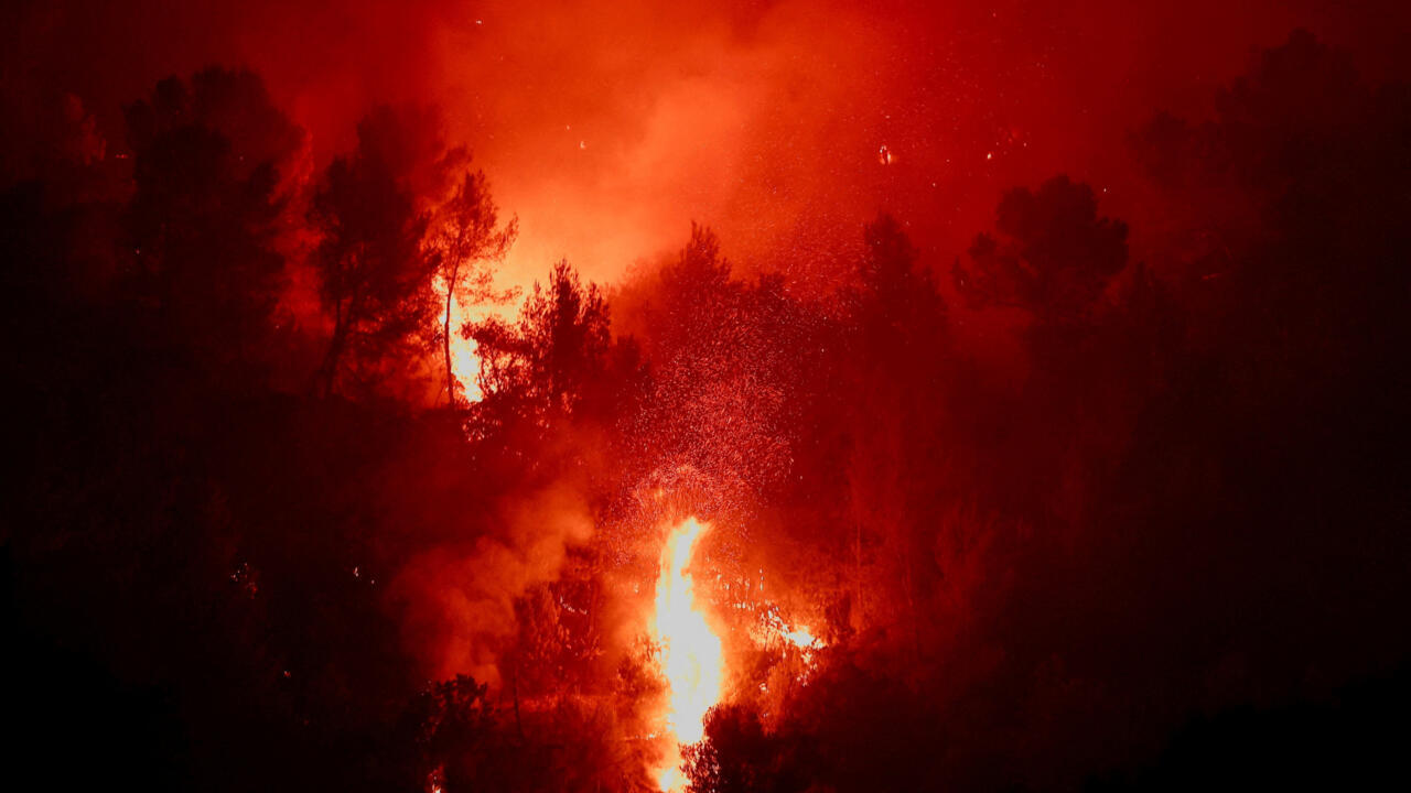
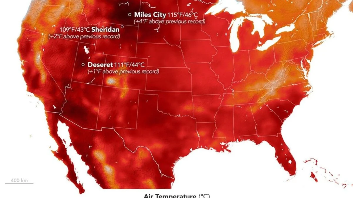
So it’s not terribly surprising that Europe has seen a particularly brutal summer, battered with heat wave after heat wave. One study looked at the continent’s May heat wave and found that climate change played a major role: A similar heat wave in 1976 would have been about 3.5 °C (6.3 °F) cooler than it was under today’s conditions. The US hasn’t been excused from the heat either. July’s record for the contiguous US (which excludes Alaska and Hawaii) officially ends one held by July 1936 for nearly a century. It’s concerning that we’re breaking records set during the Dust Bowl, an environmental disaster across much of the country.
But looking ahead to next year, El Niño could have even more in store. A quick crash course here: There’s a natural variation in patterns across the oceans and atmosphere called the El Niño–Southern Oscillation, or ENSO. Basically, over the course of several years, feedback systems between the ocean and wind patterns shift one way and then another. (These two states are the El Niño and La Niña events.) The Pacific Ocean gets a lot of sunlight, warming up the water’s surface. In normal conditions the trade winds, caused by Earth’s rotation, carry that warm water west, forcing colder water deep in the ocean up toward the surface in the east. In turn, warm air rises, flows east, and sinks again. During an El Niño, the trade winds weaken and heat stored in the central Pacific builds up, warming up the air above it and creating a pocket of air that disrupts movement in the atmosphere and oceans, altering rainfall and weather across the globe. We’ve already entered an El Niño phase, defined by the National Oceanic and Atmospheric Administration as a period when we see the temperature in a specific part of the Pacific Ocean get 0.5 °C hotter than usual, plus associated changes in the atmosphere. And this could be a big deal for global temperatures. El Niño doesn’t actually add energy into the climate system or warm up the entire globe on a long-term scale. It’s essentially just taking heat that’s been stored in the oceans and releasing it into the atmosphere. But climate change has pushed a lot of heat into storage in the atmosphere and oceans—so combining the effects of this year-to-year variation with that long-term trend could have brutal results. This El Niño is expected to be an especially notable one. Some forecasts predict that the event could peak at over 3.5 °C above the average, potentially making it the strongest on record. It also came on quite quickly, representing “one of the fastest onsets in the observational record,” writes climate scientist Zeke Hausfather in an analysis for Carbon Brief.