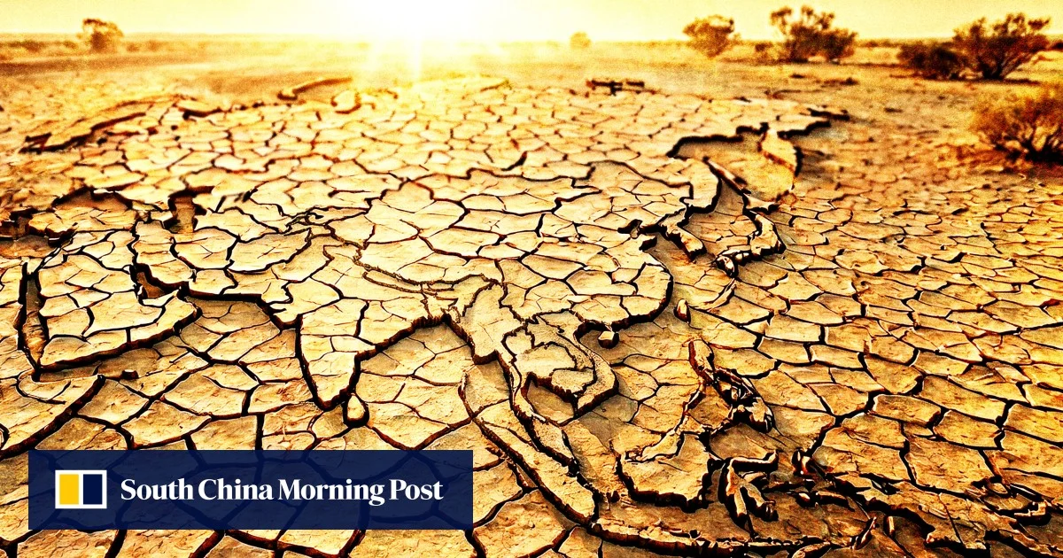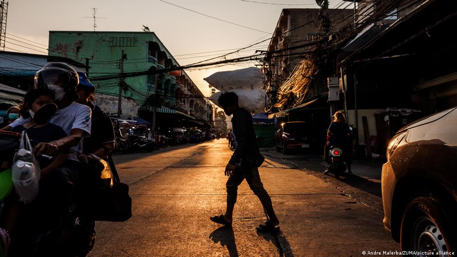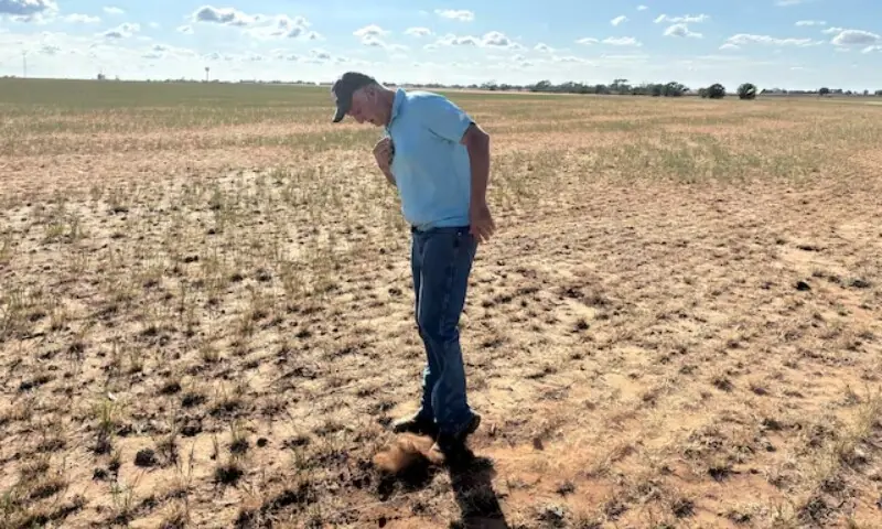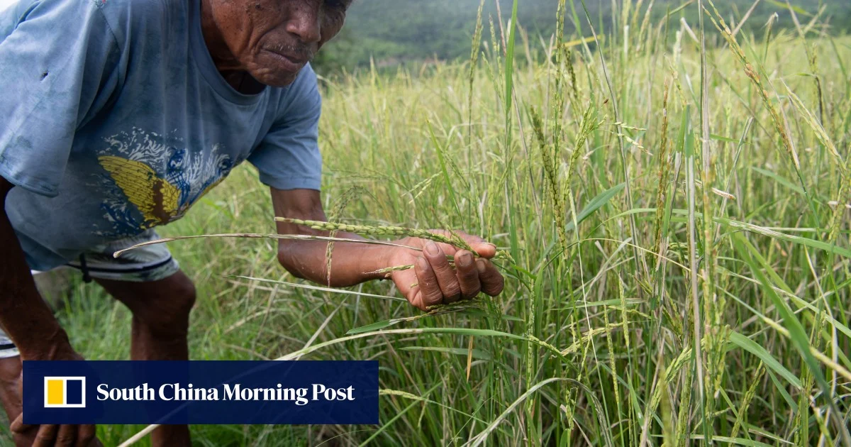
BANGKOK: Surachai Parunram knows something big and foreboding is coming. The veteran rice and sugarcane farmer from Thailand’s northeast has experienced unpredictable weather and extreme events disrupting his planting seasons for many years.What lies in store over the next year - a so-called “Super El Niño” bringing expected severe heat and drought right across Southeast Asia - has him more worried than ever.“The climate is completely unpredictable now. It’s hot one moment and raining the next,” the 55-year-old said.He has been preparing and adapting for a tough spell of conditions for more than a year, changing his crops and introducing more drought-resistant livestock like boars to his small operations in Nakhon Ratchasima.
“I have concerns. We don't know what to produce because every farmer has debt, and we don't know where our income will come from when there's no water for farming,” Surachai said.Southeast Asia is on alert for what experts say is potentially one of the most heightened versions of the El Niño phenomenon ever recorded.El Niño, characterised by sea surface warming in the central and eastern tropical Pacific Ocean, typically acts as a multiplier, pushing temperatures higher and extending the duration of heatwaves, heaping pressure on urban populations, agriculture and water supplies.“We have never encountered a situation like this before. While Super El Niño events have occurred in the past, those happened before the world reached current temperatures,” said Seree Supratid, director at the Climate Change and Disaster Center at Rangsit University.“This event is unfolding on a planet that has already warmed by approximately 1.4-1.5°C, meaning the impacts will undoubtedly be far more severe,” he said.Labelling the system “super” is not an official scientific classification, rather a reflection of severity, “an extreme instance where ocean temperatures surge way above normal”, said Ming Yi, a physical climate scientist at the National University of Singapore.The latest event has already developed in the Pacific, according to the World Meteorological Organisation (WMO).Its modelling indicates the event will strengthen rapidly, with sea-surface temperatures in a key region of the equatorial Pacific forecast to average around 2°C above normal during July to September. El Niño typically reaches its peak between November and February.