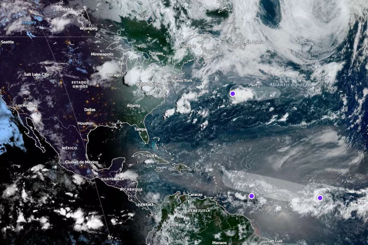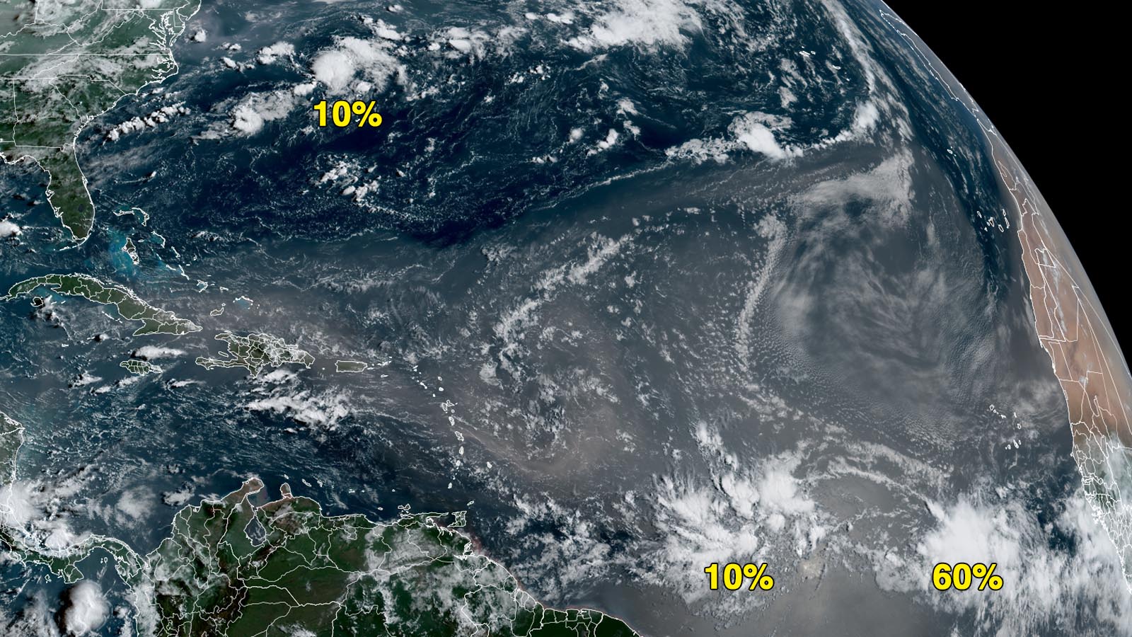
It is August and as is typical, as we get closer to the peak of hurricane season, we are starting to notice more tropical waves. In the classic behavior we often see in August, two Cabo Verde waves – so named because they often pass near the Cabo Verde Islands – have been exiting Africa and moving west. They both have a long road and an uncertain future ahead.
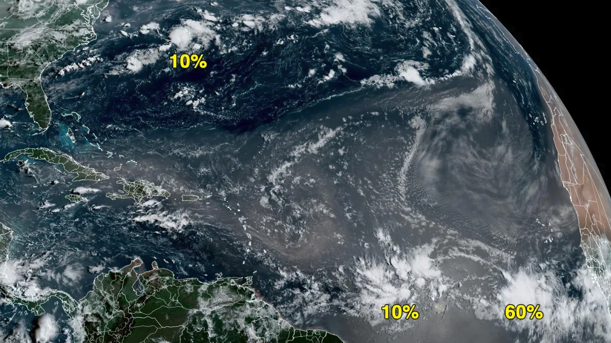
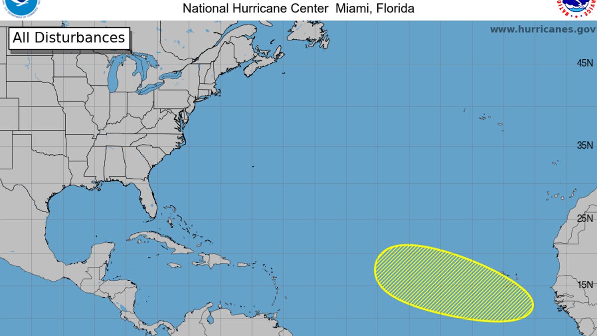
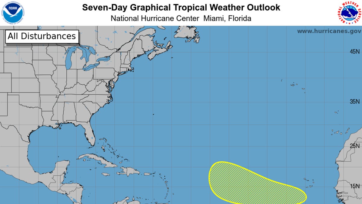
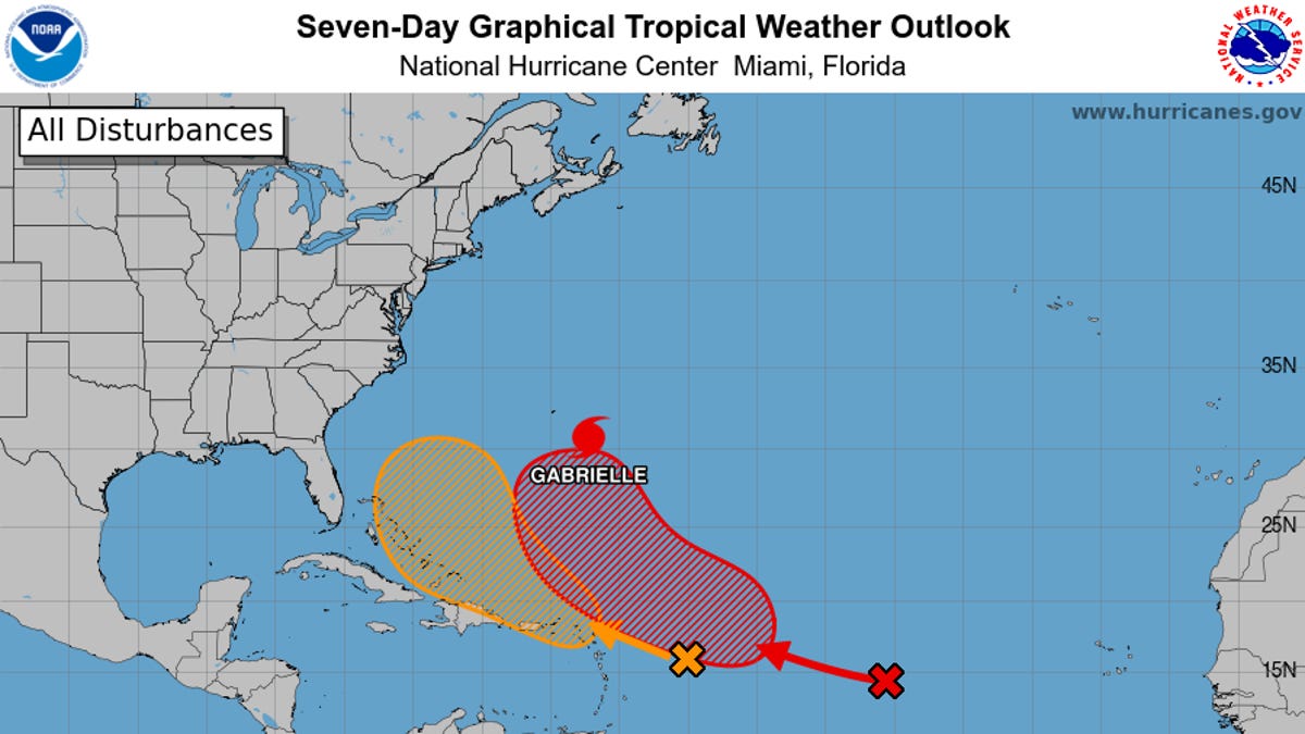
As of 8 a.m. EDT Monday, August 10, the National Hurricane Center hadn’t given either wave status as an “Invest,” so they were not yet worthy of having the specialized hurricane models run for them. The first wave, located between the Cabo Verde Islands and the Lesser Antilles, was being given a low chance (10%) of development during the next seven days. The wave was moving quickly westward and could gradually develop as it gets closer to the Caribbean. However, as it approaches the Caribbean, it will also enter an area with strong wind shear, which should prevent further development.
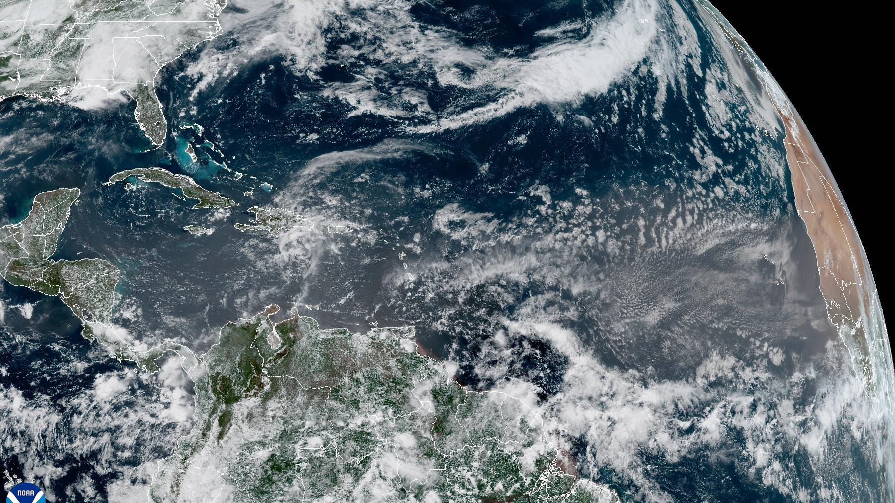
The second tropical wave, located a few hundred miles south of the Cabo Verde Islands, has a medium chance (60%) of tropical development over the next seven days. Satellite imagery does show that a low-pressure system has developed. It is expected to move west to west-northwest, but just north of the first tropical wave mentioned above. This system has a higher chance of developing into a tropical system due to the moisture that will be left behind by the first tropical wave in the middle and upper levels of the atmosphere. It is likely to become a tropical depression toward the end of this week as it moves over the central tropical Atlantic.