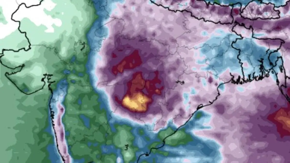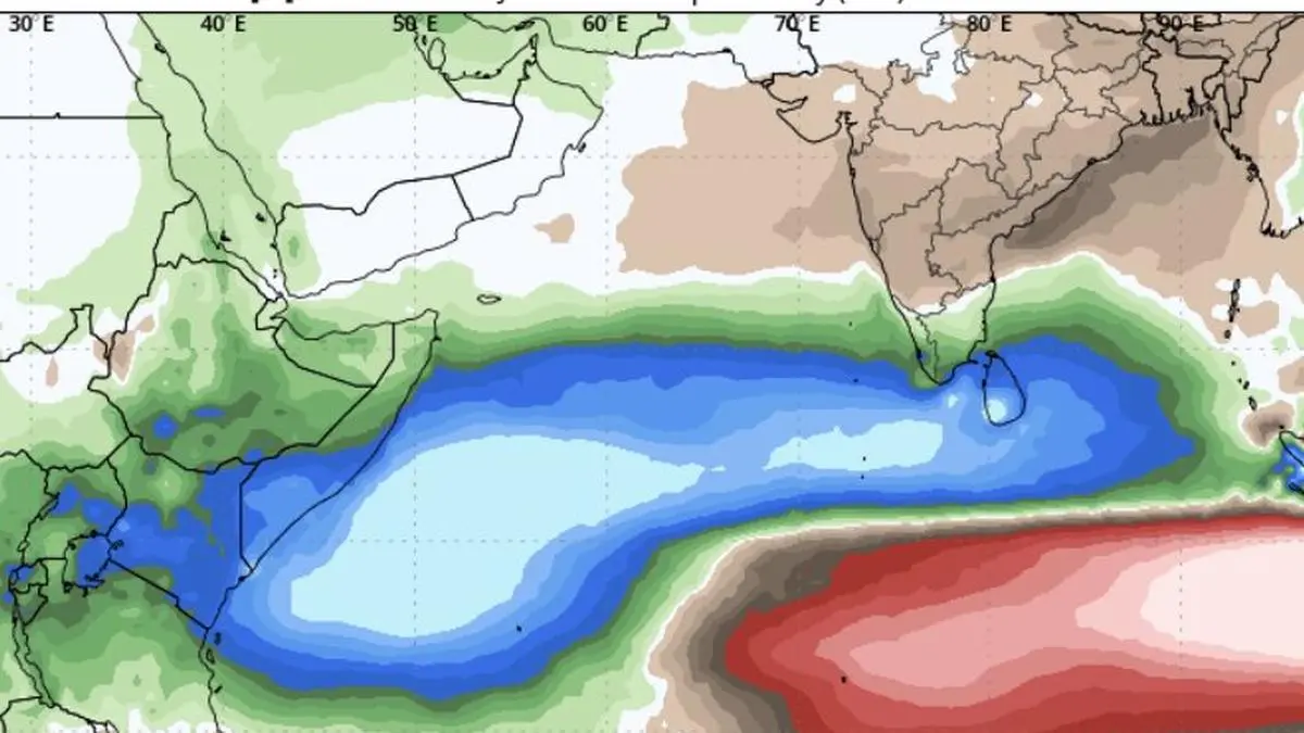
Leading European model projects above-normal rainfall for Sri Lanka, Kerala, and Tamil Nadu (blue and green towards right) during October-December from an emerging positive Indian Ocean Dipole (IOD) phase.
| Photo Credit:
European Centre for Medium-Range Weather Forecasts
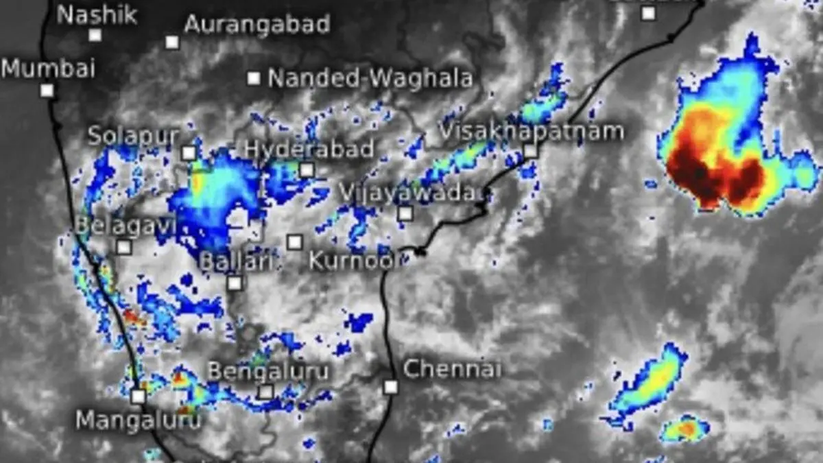
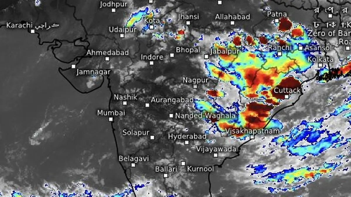
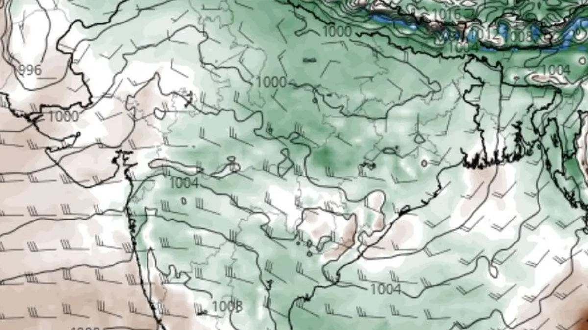
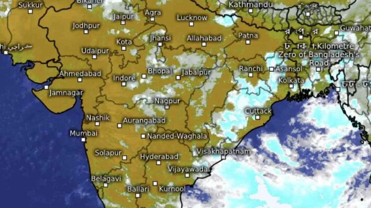
The monsoon appears headed for another active phase, with a fresh low-pressure area forming over land on Friday and a second system set to develop over the Bay of Bengal by Saturday. The twin weather systems have prompted forecasters to reassess the broader atmospheric drivers behind the renewed revival.IOD at work? According to global climate models, the most likely trigger is an emerging positive Indian Ocean Dipole (IOD) being reinforced in turn by a rapidly strengthening El Niño over central and eastern tropical Pacific. Though separated by thousands of kilometres, the two climate phenomena are increasingly interacting through atmospheric teleconnections, with the potential to reshape rainfall patterns across the Indian Ocean basin.Historic El NiñoWhat is shaping up as a potentially historic El Niño event is gathering pace over eastern Pacific. Ocean analyses already show pronounced warming of sea-surface temperatures in August, while meteorologists believe the event - widely being described as a possible “super El Niño” - is still months away from reaching its peak.Global climate agencies indicate that the positive IOD is on the verge of crossing the threshold into an active phase. Forecasts suggest it could strengthen into a sustained event through September-November before weakening during early December-February.Rainfall patternsSeasonal forecasts from the European Centre for Medium-Range Weather Forecasts (ECMWF) point to markedly altered rainfall patterns during September-November in line with a positive IOD. The model projects a significant rainfall deficit over the eastern Indian Ocean and exceptionally heavy rainfall over its western sector.A positive IOD develops when west Indian Ocean becomes abnormally warmer than the east, enhancing convection, cloud formation and rainfall. During the monsoon, such a phase typically favours above-normal rainfall over parts of India. The ECMWF goes on to project excess rainfall over Sri Lanka and above-normal precipitation over Kerala and Tamil Nadu during October-December north-east monsoon.Rare ‘low’s over landReflecting the evolving weather pattern, the India Meteorological Department (IMD) said the monsoon trough on Friday extended from Ganganagar through Delhi, the centre of the newly formed low-pressure area over south-west Uttar Pradesh, Ranchi and Digha before entering east-central Bay. Expected formation of another ‘low’ over the Bay is likely to pull the eastern end of the trough southwards into the sea, strengthening the inflow of moisture and enhancing cloud formation and rainfall over the mainland.Second ‘low’ soonA cyclonic circulation over West Bengal and adjoining Bangladesh would give rise to the second ‘low’ over the coast and adjoining north-west Bay by Saturday. The system is forecast to move west-northwest along the monsoon trough across West Bengal, north Odisha, Jharkhand and north Chhattisgarh through the weekend.Another contributor to the unsettled weather is a western disturbance, seen as a trough on Friday extending from Sri Ganganagar to Kurukshetra, while an upper-air cyclonic circulation over north-east Assam continues to steer the monsoon flow across the region.Rainfall alertsFairly widespread to widespread rainfall is likely over the Andaman and Nicobar Islands, West Bengal and Sikkim, Odisha and adjoining Himalayan regions during next six days. Jharkhand is likely to receive widespread rain on Sunday, Monday and Thursday, while Bihar is expected to witness active rainfall over the next two days. Rainfall alerts are also in force for parts of the North-East, Central India, North-West India and more parts of Peninsular India over the coming days, signalling the monsoon may remain vigorous here well into the weekend. Published on August 7, 2026