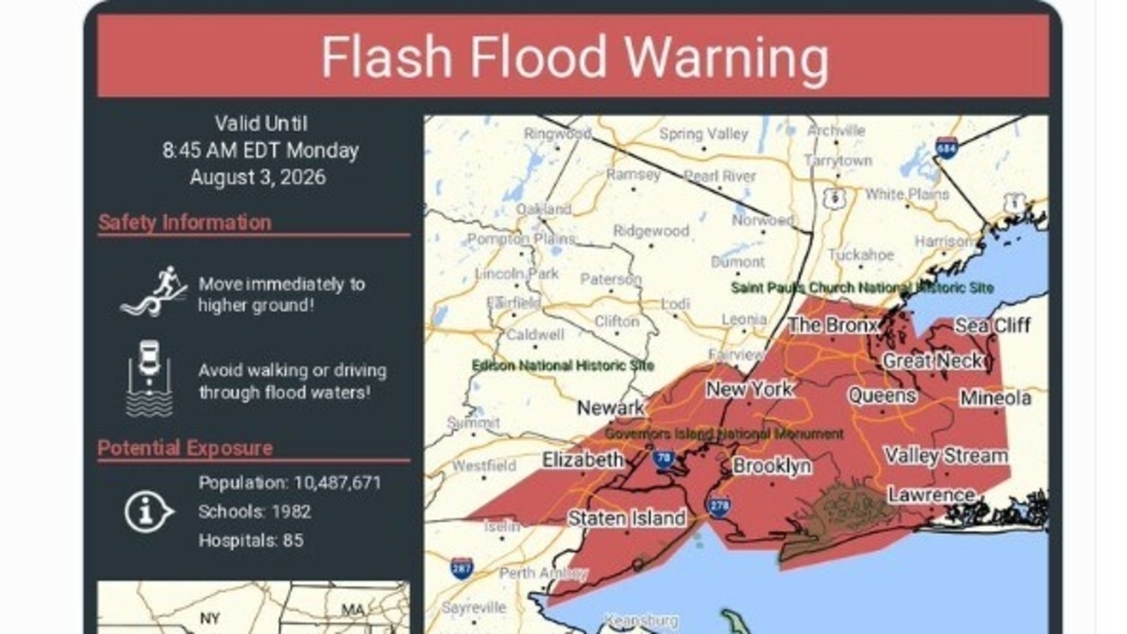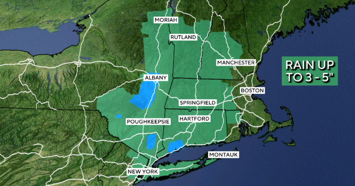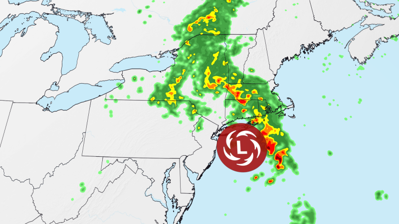
Parts of Connecticut were placed under Flash Flood Warnings after intense downpours and thunderstorms moved across the state, raising the risk of rapidly rising water on roads, streams and low-lying neighborhoods, according to a report by NBC Connecticut.Forecasters warned that already saturated ground could worsen flooding even with short bursts of heavy rain.Torrential rain sparks flash flood concernsA slow-moving weather system brought repeated rounds of showers and thunderstorms to Connecticut, prompting the National Weather Service to issue Flash Flood Warnings for several areas.Meteorologists said rainfall was falling quickly enough to overwhelm drainage systems, increasing the likelihood of water accumulating on roads and in flood-prone locations.NBC Connecticut reported that he heaviest rain bands were expected to move through western and northern parts of the state before extending eastward later in the day, creating difficult travel conditions during peak commuting hours.Areas under weather alertsWeather officials cited by NBC Connecticut said that multiple counties faced an elevated flood risk as thunderstorms tracked across Connecticut.Flash Flood Warnings covered parts of Fairfield, Litchfield, Hartford and Tolland counties, while a broader Flood Watch remained in place for portions of the state vulnerable to additional rainfall.Authorities cautioned that even locations that had not experienced flooding earlier in the day could see water levels rise rapidly if storms repeatedly passed over the same area.Roads, power outages and travel disruptions reportedHeavy rain and gusty winds created hazardous conditions across several communities, with reports of fallen trees, blocked roads and scattered power outages.Local officials urged motorists to avoid driving through flooded streets, warning that water depth can be difficult to judge and road surfaces may already be damaged beneath the floodwater.Emergency agencies also advised residents to monitor weather alerts closely as conditions could change quickly with additional thunderstorms developing.Why the flood threat remains highThe latest storm system arrived after Connecticut experienced an unusually wet stretch, leaving soils saturated and reducing the ground's ability to absorb more rain.Meteorologists told NBC Connecticut that this means even moderate rainfall could trigger localized flooding, particularly in urban areas, near small streams and in locations with poor drainage.While thunderstorms were also capable of producing strong wind gusts, forecasters noted that flooding remained the primary weather concern.What residents should doOfficials urged residents to stay updated through official weather advisories and avoid unnecessary travel during periods of intense rainfall. Drivers were reminded never to cross flooded roadways, as rapidly moving water can sweep away vehicles with little warning.Forecasters expect conditions to gradually improve after the storm system exits, although additional unsettled weather could return later in the week.
Flash flood warnings trigger alarm as relentless rain drenches Connecticut
Connecticut faces flash flood warnings as intense thunderstorms move across the state. Already saturated ground increases flood risks even with brief heavy rain showers. Forecasters issued alerts for several counties, impacting travel conditions during peak hours. Heavy rain and winds caused fallen trees and scattered power outages. Residents are urged to monitor advisories and avoid flooded roadways.
421 words~2 min read