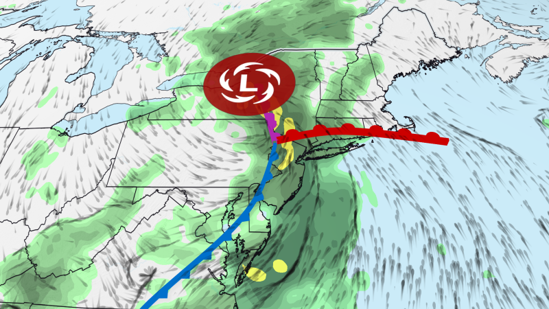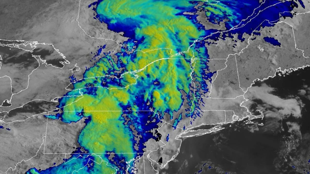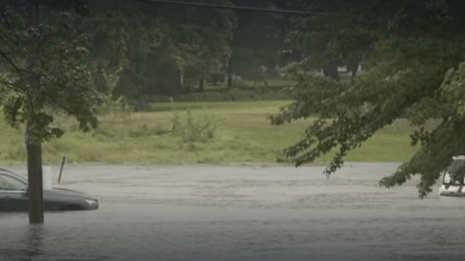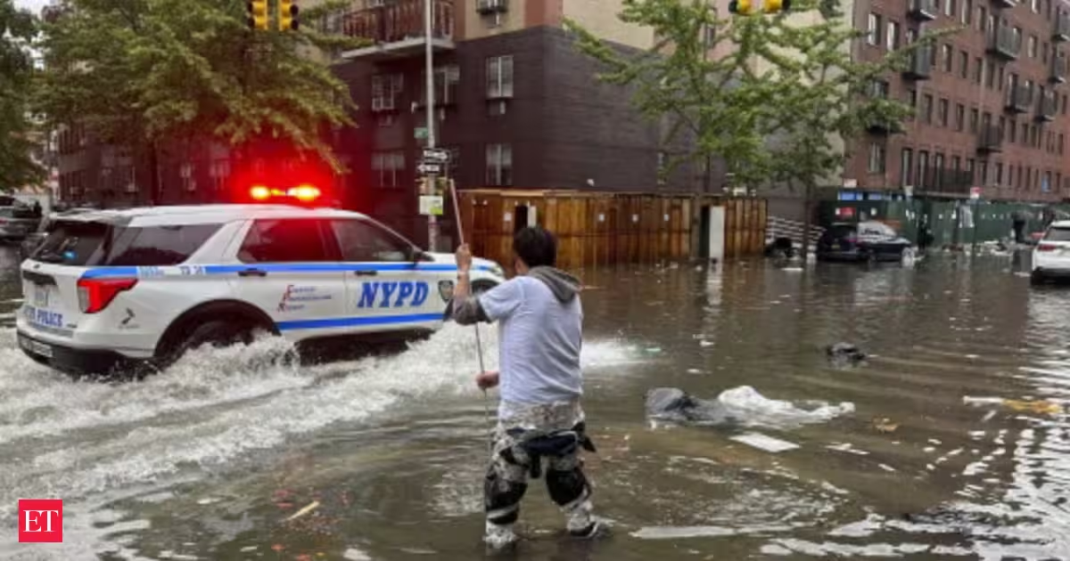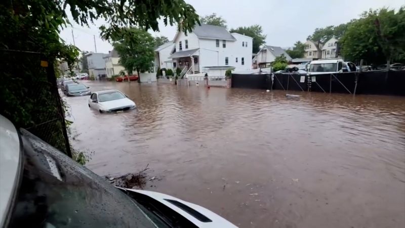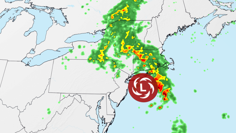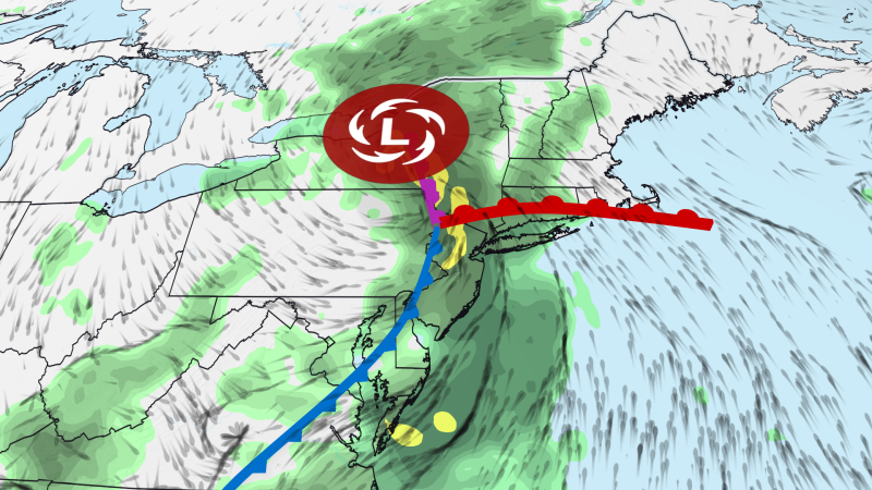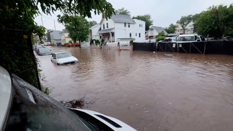
A serious flash flood threat will shift into New England on Wednesday as an unusually strong summer storm continues to unleash torrential rain across the Northeast, where heavy rain has already triggered water rescues and widespread travel impacts.
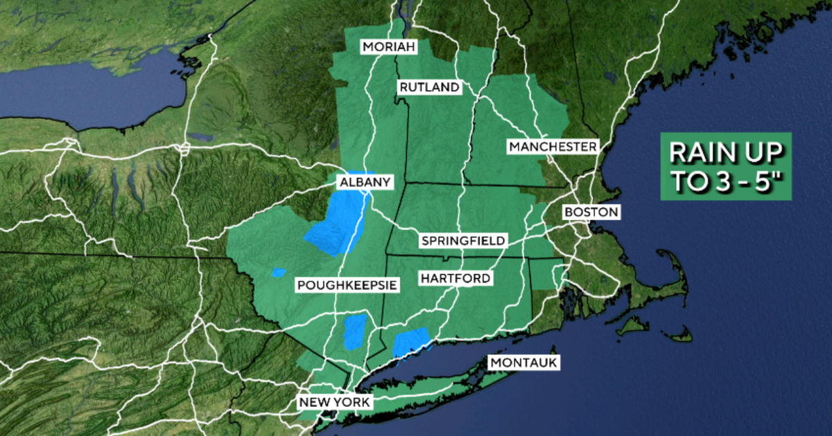
More than 28 million people are under flood watches Wednesday from New Jersey and New York through southern New England. The greatest danger is centered on western and central Massachusetts, far southern Vermont and portions of northern Connecticut, where a Level 3 of 4 risk of flooding rain is in place.
Repeated downpours could produce significant and potentially life-threatening flooding. Heavy rain will gradually spread into eastern Massachusetts, including Boston, later Wednesday.
Heavy rain was still falling early Wednesday from northeastern New Jersey into the Lower Hudson Valley, with multiple flash flood warnings across the region.
New York City has avoided the worst flooding so far, but it isn’t over yet. A slow-moving band of heavy rain is crossing the area Wednesday morning, and additional storms could develop during the day. Flood watches remain in effect in the area through 8 p.m. ET, with rainfall rates of 2 to 3 inches per hour still possible.