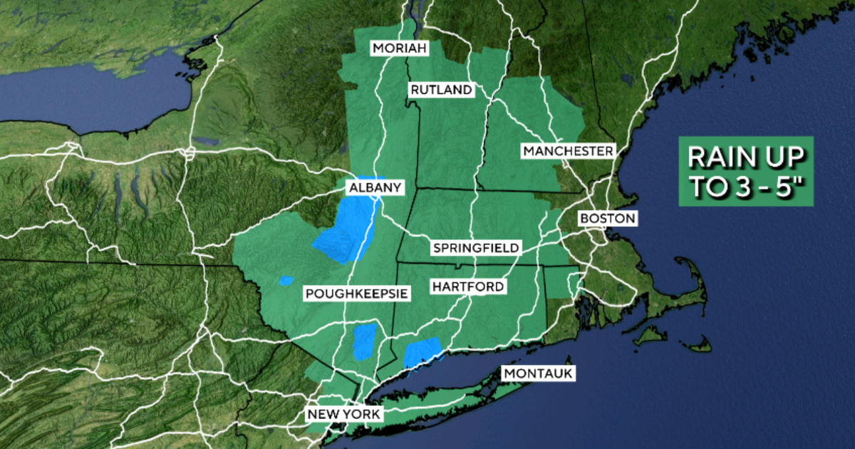
The Northeast is facing a flash flood threat this week from an unusually strong storm that could drop up to a month’s worth of rain in just a few days in parts of the region.
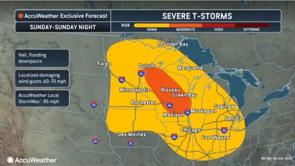
The soaking system will be spawned by a pocket of energy that’s firing up severe thunderstorms in parts of the Great Lakes and Ohio Valley on Monday. Powerful wind gusts that could knock out power and down trees are the primary threat in those regions, but isolated tornadoes are possible. One “extremely dangerous” tornado hit northeast Wisconsin Monday afternoon.
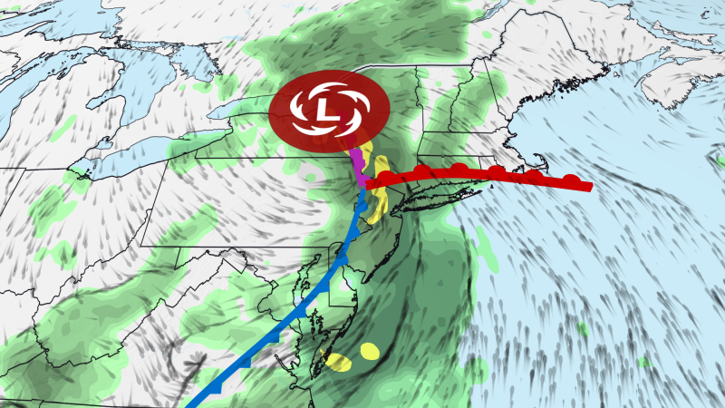
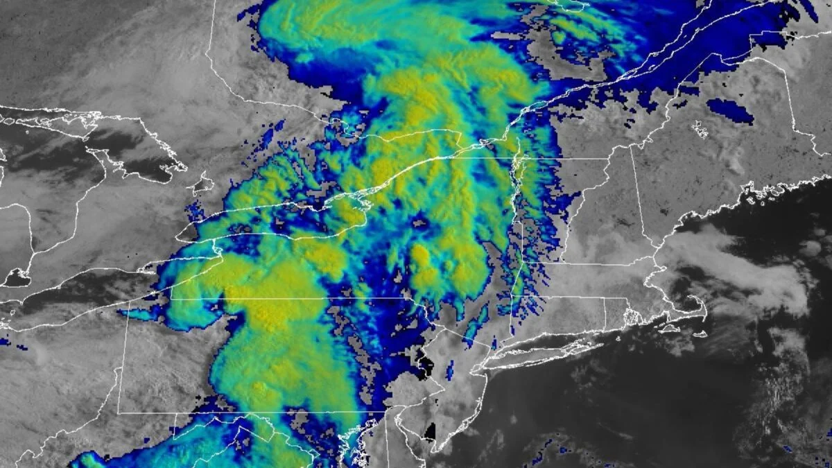
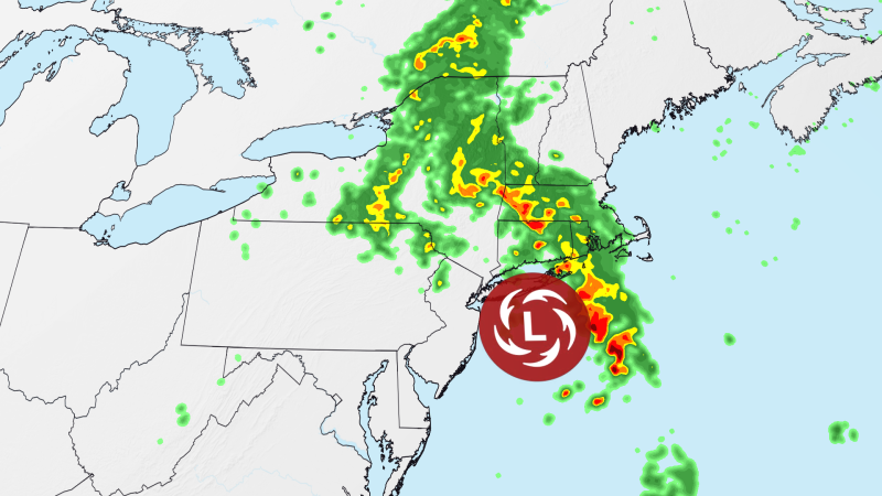
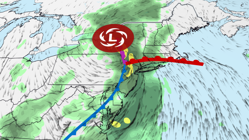
On Tuesday, the energy will spin its way into the Northeast, where it will intensify and slow down dramatically. It’s expected to linger over parts of the region through at least Thursday.
The storm’s strength when it’s over central New York on Wednesday will be more on par with a system we’d expect to see in October, November or December — not late-July. Storms are usually weaker in summer than winter because the jet stream doesn’t have as much energy to intensify them.
At the same time, the system will tap into pipelines of Atlantic and Gulf moisture that have souped up to levels well above average for even midsummer’s humid reputation.