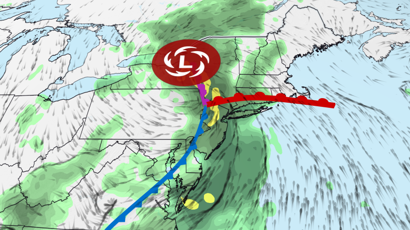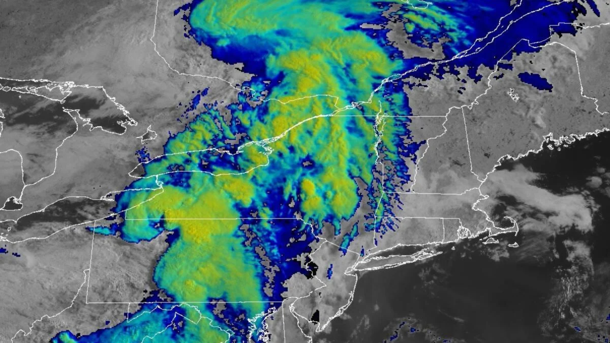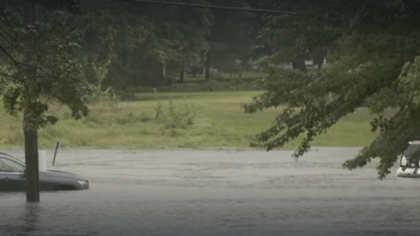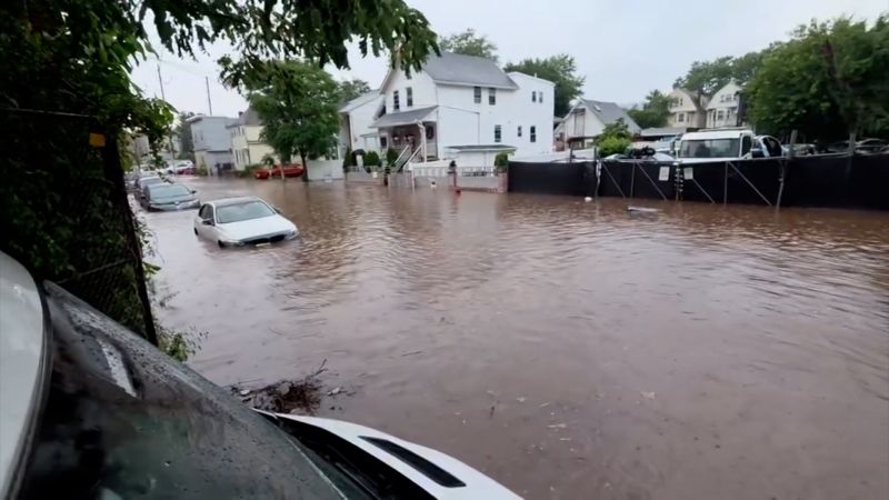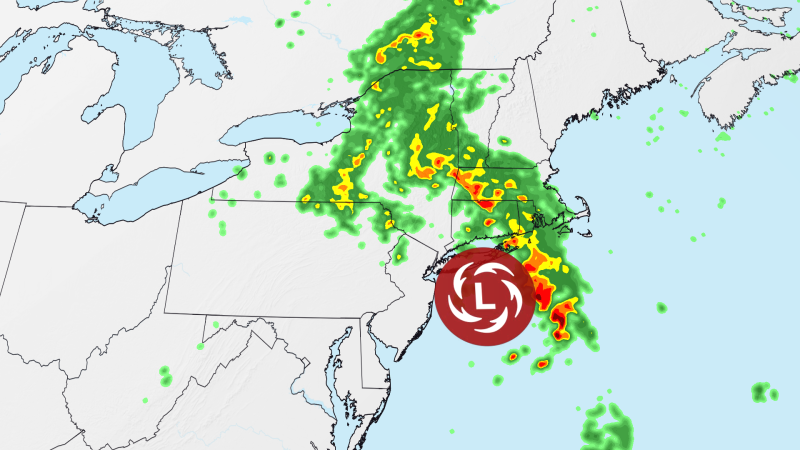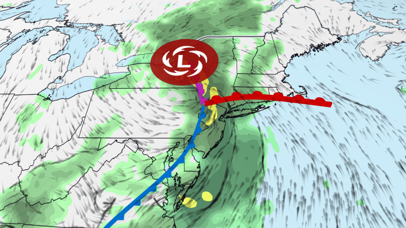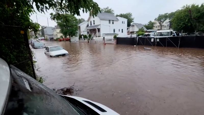
A serious flash flood threat is shifting into New England on Wednesday as an unusually strong summer storm unleashes another day of torrential rain across the Northeast, where heavy rain has already triggered water rescues and widespread travel impacts.
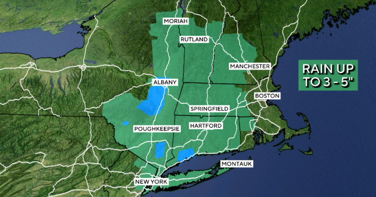
More than 28 million people are under flood watches Wednesday across the Northeast. The greatest danger is centered on western and central Massachusetts, far southern Vermont and portions of northern Connecticut, where a Level 3 of 4 risk of flooding rain is in place. Repeated downpours could produce significant and potentially life-threatening flooding. Heavy rain will gradually spread into eastern Massachusetts, including Boston, later Wednesday.
Another 2 to 4 inches of rain is expected across much of southern New England, with locally higher totals. The National Weather Service warned as much as 5 to 7 inches could fall in the Berkshires and Worcester Hills, where the mountainous terrain will help squeeze even more moisture from the atmosphere.
The storm is creeping northeast after soaking parts of New York, New Jersey and Pennsylvania. A widespread 1 to 3 inches fell across northeastern New Jersey and the Lower Hudson Valley by Tuesday evening. Higher totals were observed in spots, including Stewartsville in western New Jersey, which received 6 inches of rain.