Explore Winterveldt, a settlement that epitomises South Africa's spatial divide, and discover how innovative approaches can break the cycle of poverty that has persisted for decades.
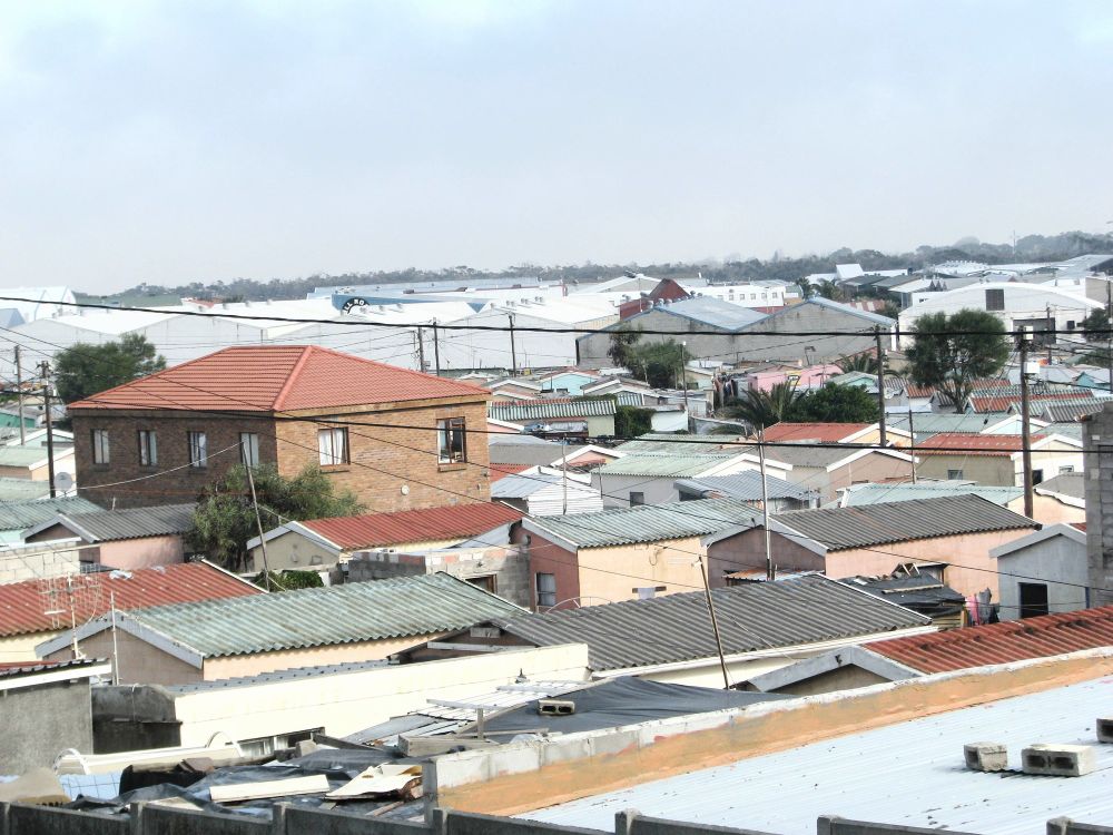
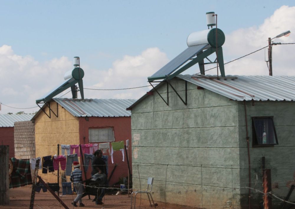
For over four decades, Winterveldt—the sprawling settlement north of Pretoria—has stood as a living monument to South Africa’s spatial divide.
From its origins in Bophuthatswana as an informal periphery to its current integration into the City of Tshwane, economic planners have repeatedly tried and failed to lift Winterveldt out of systemic poverty.
The central diagnosis from government offices in Pretoria remains predictable: a lack of service delivery, unemployment, or poor municipal capacity.
But when you step out of central bureaucratic corridors and examine Winterveldt from the ground up—at the level of individual Enumeration Areas (EAs) tracked across every census wave from 1980 to 2026—a far deeper structural reality reveals itself.