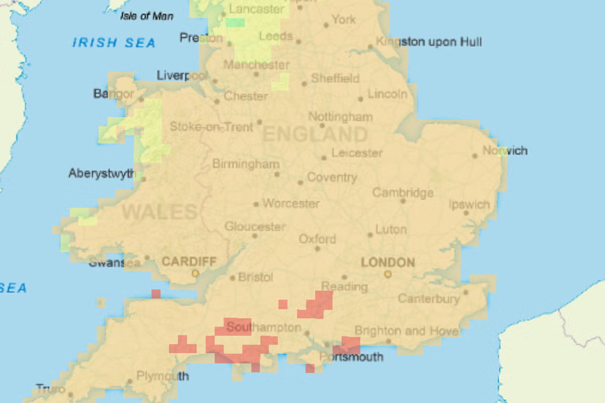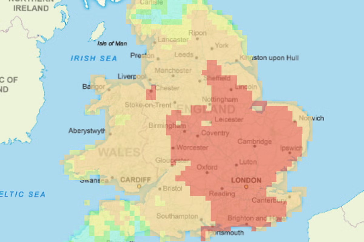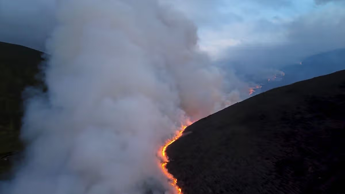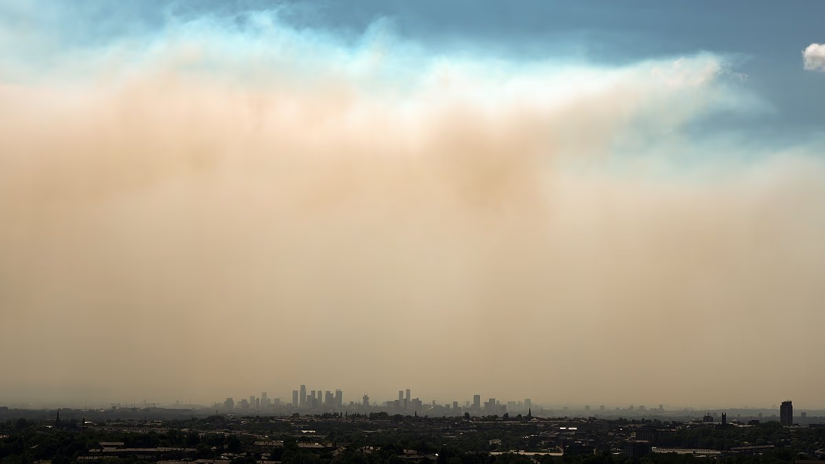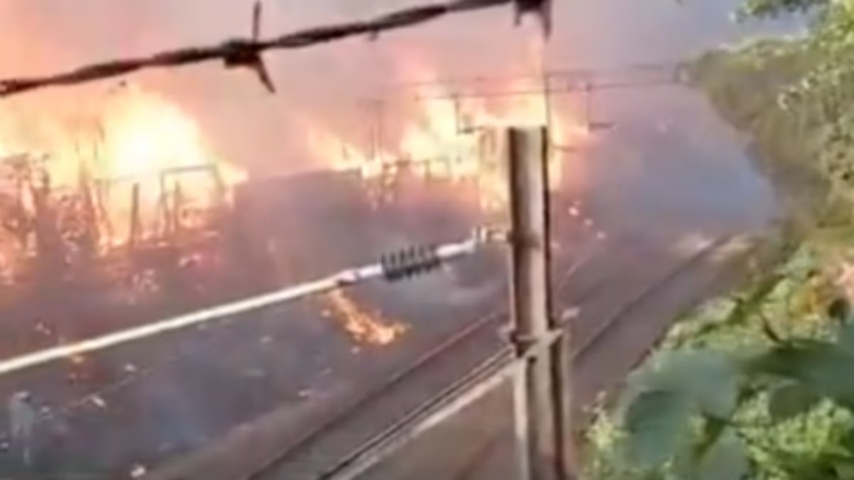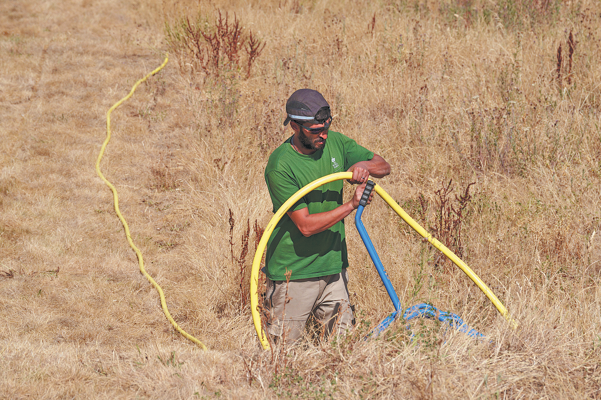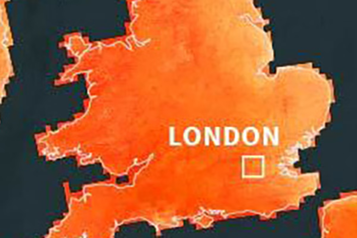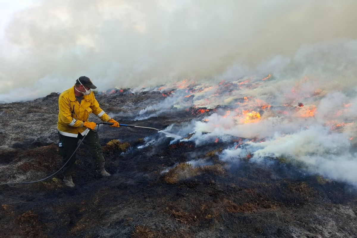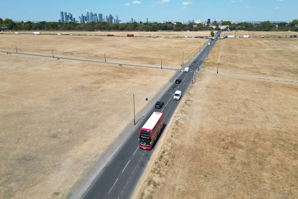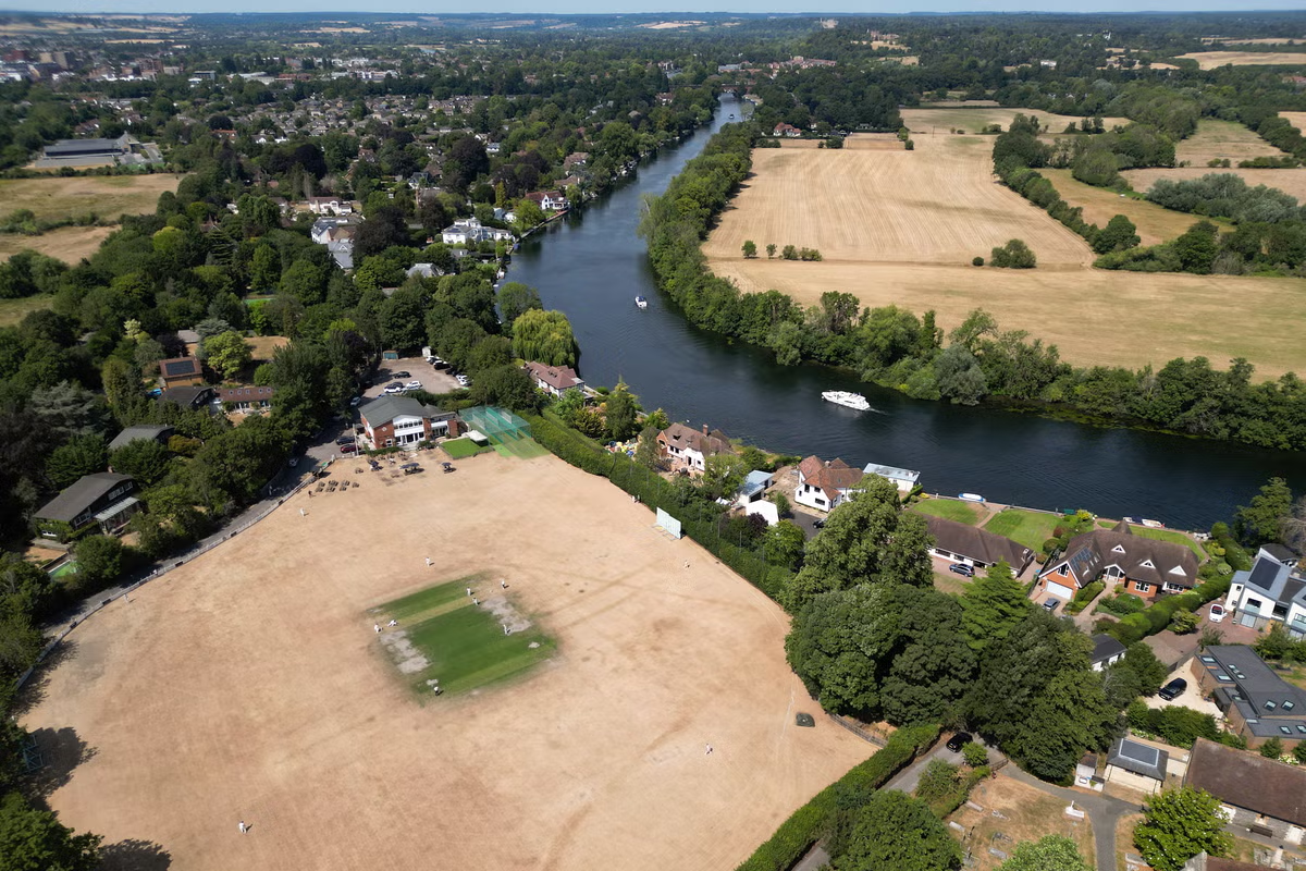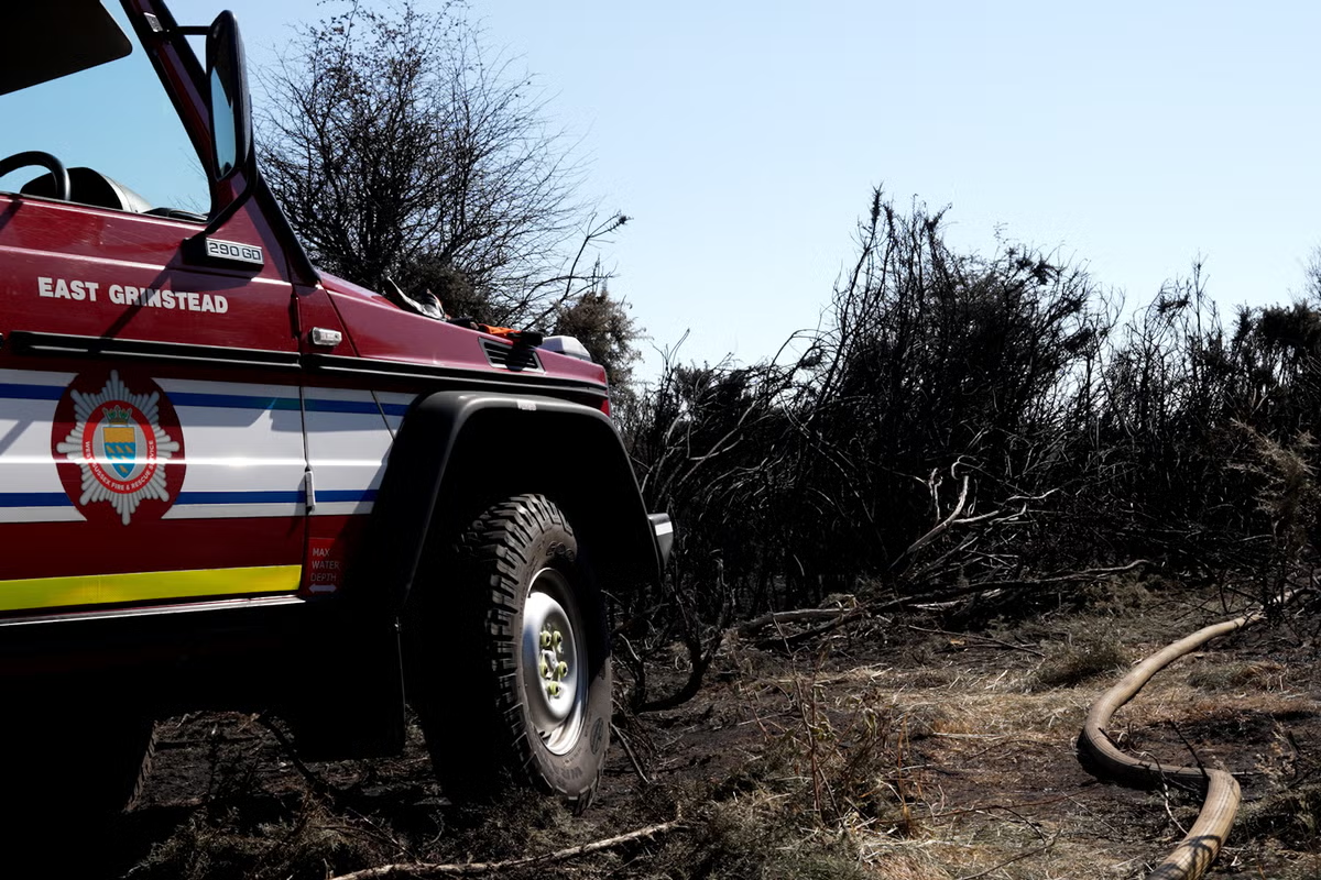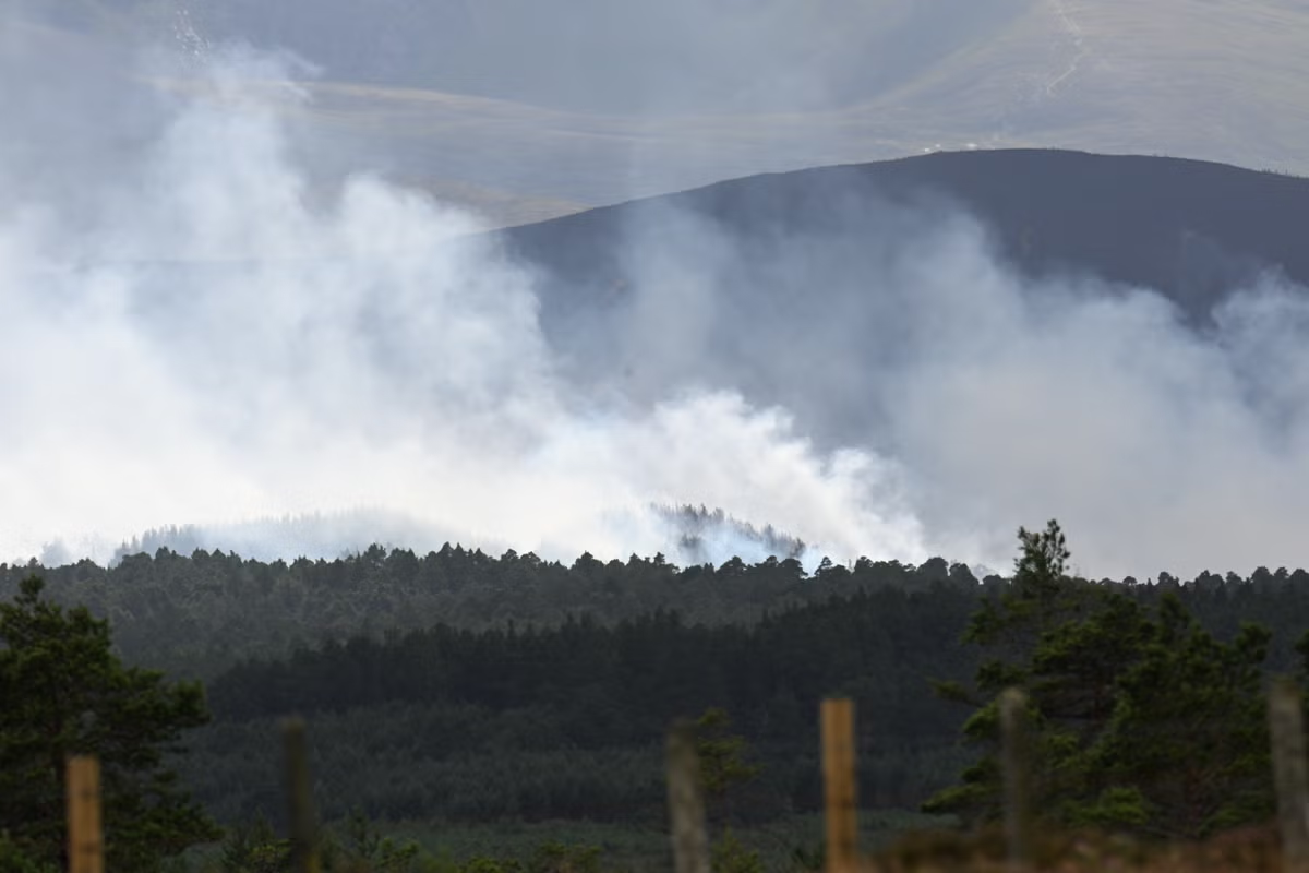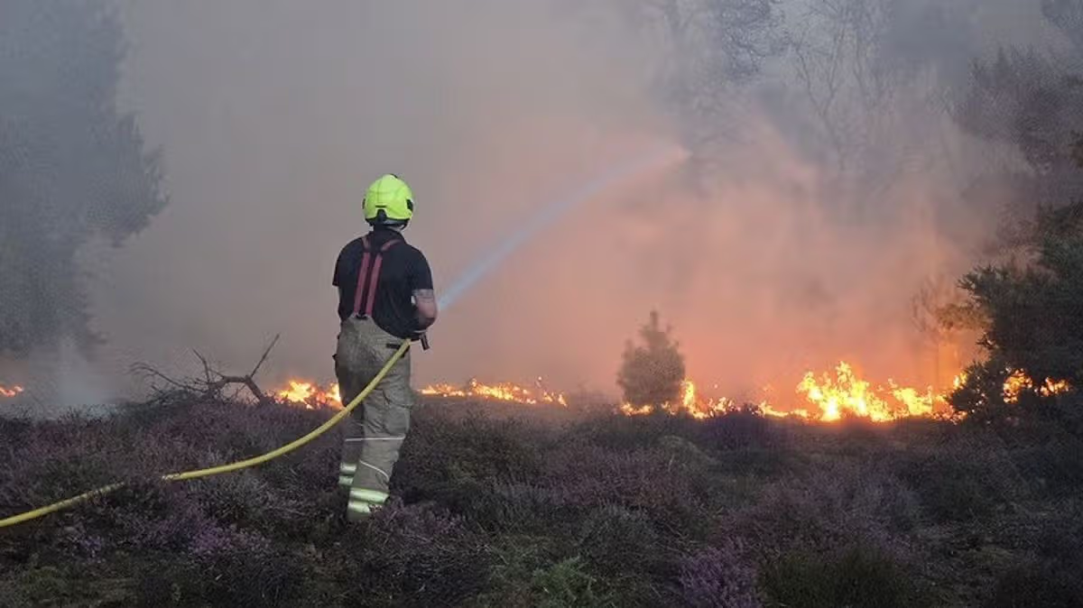
Half of England is now in drought due to soaring temperatures and low rainfall, the Environment Agency has warned – and this map shows the areas most at risk of wildfires.12:55, 31 Jul 2026Updated 12:59, 31 Jul 2026A map shows areas most at risk from wildfires in the UK as the battle continues to put out a blaze near Britain’s biggest nuclear power station.Suffolk Fire and Rescue Service has said that they were in a “better position” although they warned that the blaze near Sizewell B, at Dunwich Heath, near Leiston, was still a “dynamic incident”.In an update, the service said "crews and officers remained at the incident overnight" and "maintained a watching brief during darkness".Devastating wildfires are becoming increasingly common amid the climate crisis and this year has been especially dry with a succession of heatwaves.A map using data from the Moorland Association shows the wildfire threat across the country, highlighting the areas most at risk.It shows that the High Peak constituency in Derbyshire - where the major moorland fire at Tintwistle Moor raged - is the area at greatest risk. Fire crews were first called to Tintwistle Moor, near Glossop, on June 24, and a major incident was declared there on July 13.Calder Valley, which covers part of West Yorkshire, including Hebden Bridge, where the acclaimed drama Happy Valley was filmed, is the second-most at-risk area. Tiverton and Minehead, which straddle the Devon-Somerset border, are the third-most-at-risk area.There is generally a greater risk of wildfires in the west of England and Wales as well as large parts of Scotland.This week, the Environment Agency declared that half of England was in drought due to soaring temperatures and very low rainfall. Water Minister Emma Hardy has now warned people to prepare for this “new normal” wrought by climate change, as rivers run low, millions are placed under hosepipe bans - and wildfire risk increases.Firefighters have been battling intense blazes around the UK this summer, including at Dovestone in Greater Manchester, Tintwistle Moor in Derbyshire, and Cairngorms National Park in Scotland.Meanwhile, in Europe, a national emergency was declared in Spain as several wildfires merged into a single, uncontrolled front, and homes were evacuated in France.Andrew Gilruth, CEO of the Moorland Association, blamed rewilding campaigns for filling Britain’s uplands with “highly flammable vegetation” which is “burning at an incredible rate”.He called on new Prime Minister Andy Burnham to take “immediate action to allow farmers and gamekeepers to reduce this dangerous overload of vegetation”.“If he does not act, nature will be destroyed and there will be tragedies for firefighters and people sleeping in their beds,” said Mr Gilruth. He added that excess vegetation from rewilding was “sucking the ground dry” and, combined with climate change, was “baking the plants”, resulting in a “tinderbox Britain in which nature is turning into ashes”.However, Rebecca Wrigley, chief executive of Rewilding Britain, said that “blaming rewilding completely misses the point”, adding that “simply stripping vegetation off our uplands is no answer to the wildfire threat”.She said: “Britain's growing wildfire risk is being driven by climate change and the degradation of the living systems on which we all depend, not by efforts to restore nature.“As hotter, drier conditions increase wildfire risk, the focus should be on preventing fires from starting through better public awareness, ensuring fire and rescue services have the resources they need to respond quickly, and creating landscapes that are more resilient when fires do occur.“Healthy peatlands and beaver wetlands can create living, moisture-rich shields against wildfire. By restoring a mosaic of native woodlands, heathlands and wetlands, we can turn our soils into natural sponges and create firebreaks that slow the spread of flames.”The Moorland Association assessed the “hazard” in each area by considering factors that could increase the threat of fire, such as the amount of vegetation that could provide fuel, climate triggers such as likely weather conditions, and terrain features that could amplify the threat.“Exposure” covers what could be in harm’s way, such as property and habitats, and also assesses how difficult it would be to evacuate in the worst-case scenario.Article continues belowFinally, “vulnerability” measures the site's fragility or preparedness, taking into account the age of the housing and the proportion of elderly residents.
Horrifying UK wildfires map shows areas most at risk from infernos right now
Half of England is now in drought due to soaring temperatures and low rainfall, the Environment Agency has warned – and this map shows the areas most at risk of wildfires.
700 words~3 min read