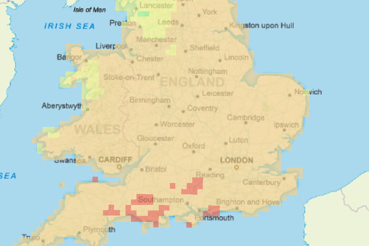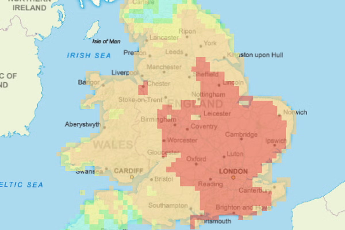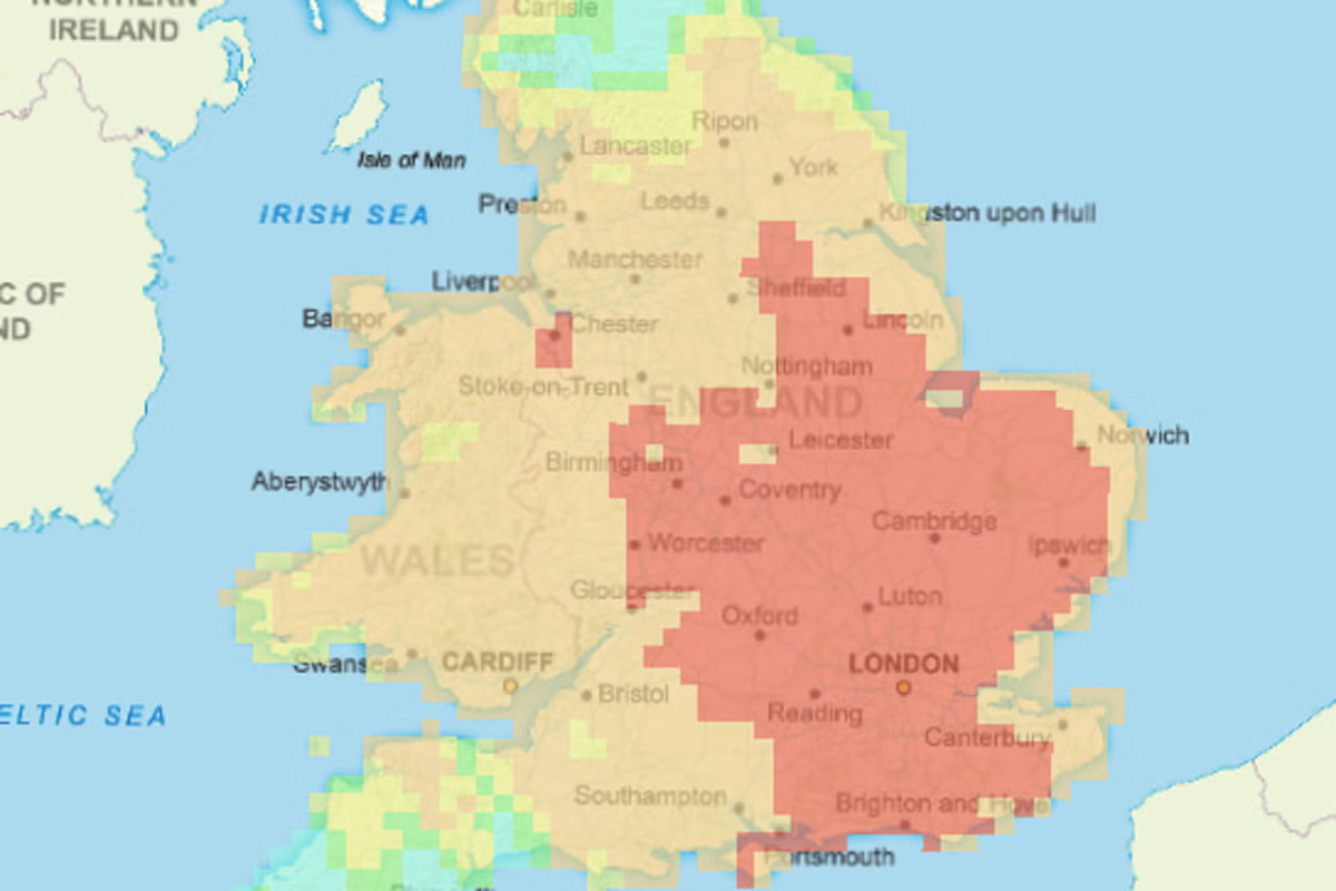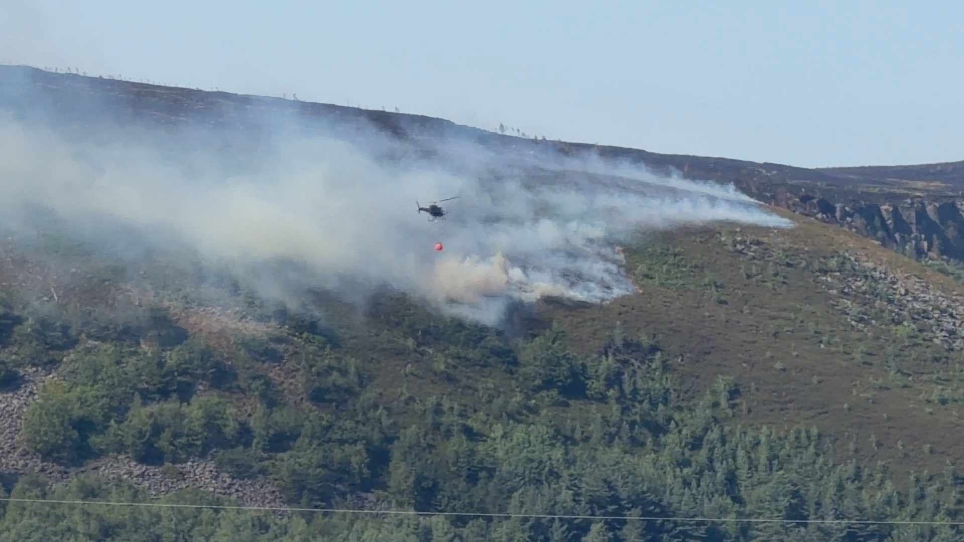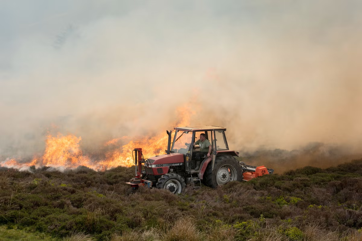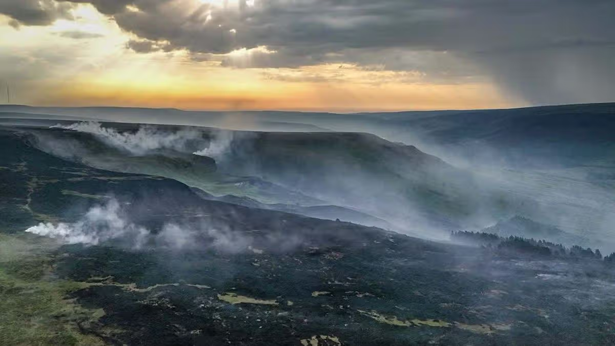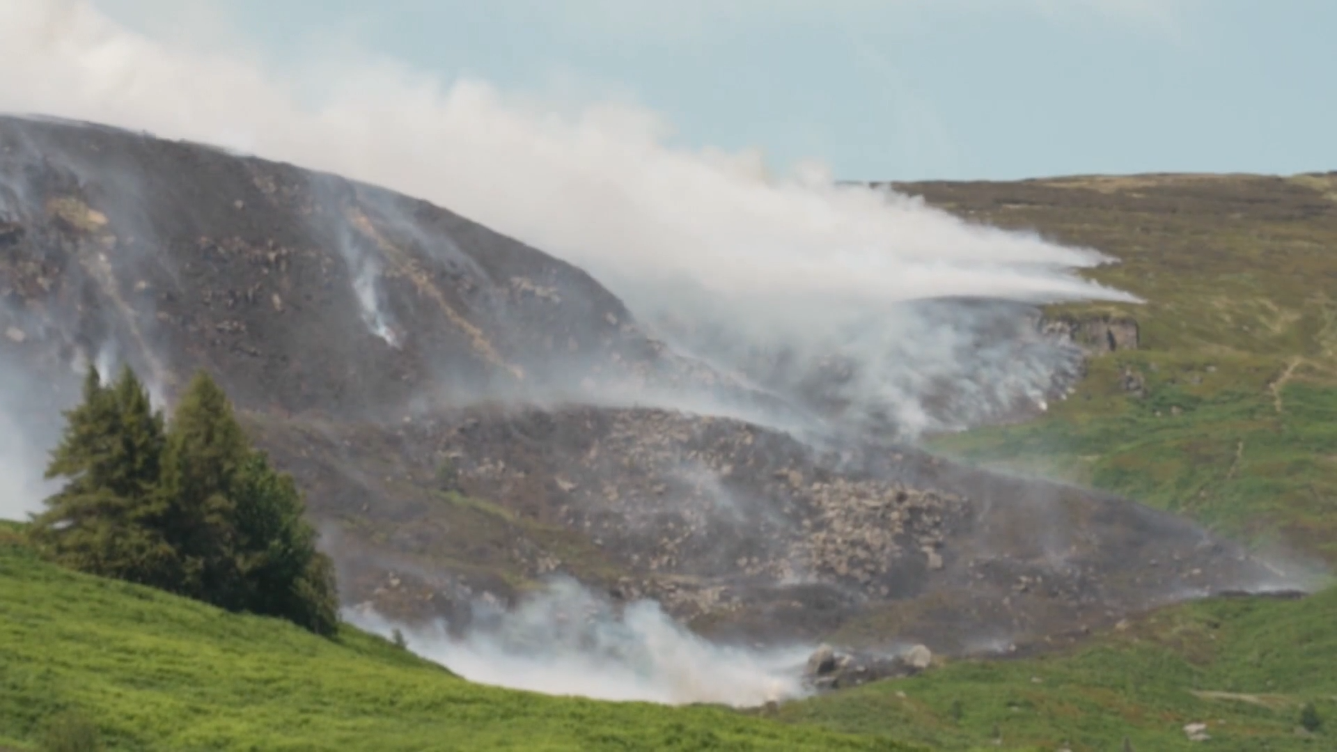
Parts of Britain face an 'exceptional' risk of wildfires this week as a map revealed the areas in danger from gusty winds and ongoing dry weather in the heatwave.The Met Office's Fire Severity Index (FSI) said parts of southern England were most at risk from blazes including around Chichester and Bognor Regis in West Sussex.Other highlighted areas included Andover and Basingstoke in Hampshire; Dorchester and Wimborne Minster in Dorset; Yeovil in Somerset; and Honiton in Devon.The rest of southern England and the Midlands and most of Wales are at 'very high' risk, but the warning level drops to 'high', 'moderate' or 'low' in the North.The Met Office said warm and dry weather coupled with gusty easterly winds mean extreme wildfire conditions will persist for parts of England and Wales this week.Five water firms have imposed usage restrictions amid huge strain on supplies and an increasing risk of drought while the third heatwave of the year continues.Temperatures could reach 35C by Thursday, following the hottest ever days in May and June and a lack of rain in recent months. London has had no rain since June 27.In Walthamstow yesterday, residents were evacuated as homes went up in flames and trains were suspended after a huge fire broke out next to a railway line.
Map reveals areas most at risk to raging wildfires
The Met Office's Fire Severity Index (FSI) said parts of southern England were most at risk from blazes including around Chichester and Bognor Regis in West Sussex.
818 words~4 min read